Chest opened
+${chestReward.xp} XP
Explorer
NOUVEAU ×${chestReward.collectible.quantity}
tapez pour fermer

See the monuments around you in AR Open chests in the app

Around Us is built for your phone — point your camera at the streets and discover the monuments and places around you in augmented reality. Around Us is built for your phone — chests unlock when you walk, explore and capture nearby places.

Enable Location

We need your location to show you interesting places around you

Discover nearby places

Find interesting locations and hidden gems around you

Precise directions

Get accurate directions and distances to places

Your location is never shared with other users. It's only used when you tap the location button.

Klamath Basin National Wildlife Refuge Complex

Log in to your account

Start exploring — it's free

Trusted by 85,515 travelers worldwide

Continue with Google
Continue with Apple
or

We will send you a code to connect

By continuing, you accept our Terms and Conditions and our Privacy Policy

Check your inbox

We've sent a pincode in your inbox. Please enter the code below.

Klamath Basin National Wildlife Refuge Complex
Discussion Reviews 1 Photos
2.3k Popularity

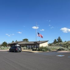
Klamath Basin National Wildlife Refuge Complex, National wildlife refuge complex in northern California and southern Oregon

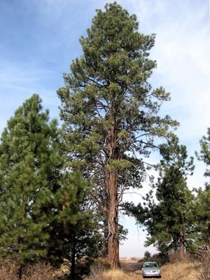
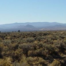
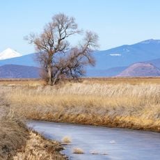
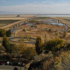
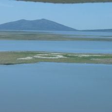
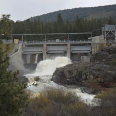
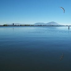
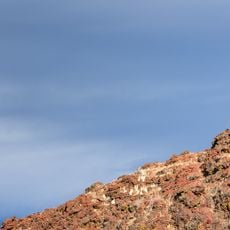
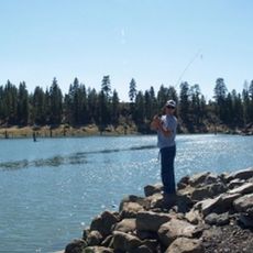
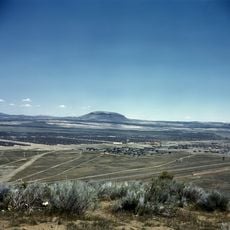
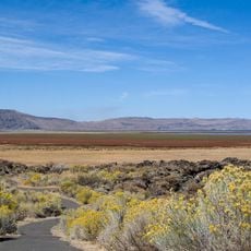
The Klamath Basin National Wildlife Refuge Complex is a protected system in northern California and southern Oregon comprising six separate areas. The landscape consists of freshwater marshes, shallow lakes, and elevated habitats spread across a combined area of roughly 190,000 acres.

The first area was created in 1908 by Theodore Roosevelt and was the earliest waterfowl refuge in the United States. It was later expanded to incorporate additional habitats and protect more species.

The refuge areas function as a place where farming communities and conservation work together in daily operations. Visitors notice how irrigation channels and bird habitats coexist across the landscape.

The visitor center in Tulelake provides exhibits and information along with access to walking trails and observation platforms. The best time to visit is during spring and fall migration seasons when millions of birds pass through the area.

The area hosts over a million ducks and geese annually, gathering in concentrations that create an unforgettable sight during peak seasons. This massive bird congregation allows visitors to observe rare species and witness behaviors that are difficult to see elsewhere.

The community of curious travelers

AroundUs brings together thousands of curated places, local tips, and hidden gems, enriched daily by 60,000 contributors worldwide.
Start exploring
Location
GPS coordinates
41.94670,-121.56500
Latest update
August 30, 2026 12:57
Around this place
Lava Beds National Monument
United States of America

Lava Beds National Monument

12.6 mi
Medicine Lake Volcano
United States of America

Medicine Lake Volcano

25.3 mi
United States of America

Captain Jack's Stronghold

9.2 mi
Lower Klamath National Wildlife Refuge
United States of America

Lower Klamath National Wildlife Refuge

6.8 mi
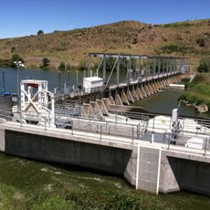
Link River Dam
United States of America

Link River Dam

23.3 mi
Tule Lake National Wildlife Refuge
United States of America

Tule Lake National Wildlife Refuge

5.6 mi
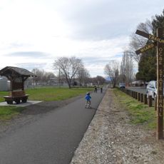
OC&E Woods Line State Trail
United States of America

OC&E Woods Line State Trail

20.4 mi
Clear Lake National Wildlife Refuge
United States of America

Clear Lake National Wildlife Refuge

24.1 mi
John C. Boyle Dam
United States of America

John C. Boyle Dam

27.7 mi
Lake Ewauna
United States of America

Lake Ewauna

21.5 mi
Petroglyph Point Archaeological Site
United States of America

Petroglyph Point Archaeological Site

11.4 mi
Bear Valley National Wildlife Refuge
United States of America

Bear Valley National Wildlife Refuge

18.7 mi
Schonchin Butte
United States of America

Schonchin Butte

14.5 mi
Gerber Reservoir
United States of America

Gerber Reservoir

29.5 mi
Canby's Cross
United States of America

Canby's Cross

8.9 mi
Baldwin Hotel
United States of America

Baldwin Hotel

22.1 mi
Klamath Falls City Hall
United States of America

Klamath Falls City Hall

22.1 mi
Blackburn Sanitarium
United States of America

Blackburn Sanitarium

22.5 mi
Judge Henry L. Benson House
United States of America

Judge Henry L. Benson House

22.2 mi
Richardson–Ulrich House
United States of America

Richardson–Ulrich House

22.4 mi
Tule Lake National Monument
United States of America

Tule Lake National Monument

10.6 mi
Schonchin Butte Lookout
United States of America

Schonchin Butte Lookout

14.5 mi
Klamath County Museum
United States of America

Klamath County Museum

22.3 mi
Skull Cave
United States of America

Skull Cave

15.2 mi
Mushpot Cave
United States of America

Mushpot Cave

16.4 mi
Hospital Rock Trail
United States of America

Hospital Rock Trail

9.2 mi
Lava Beds Visitor Center
United States of America

Lava Beds Visitor Center

16.3 mi
Ross Ragland Theatre
United States of America

Ross Ragland Theatre

22.3 mi
Show the full map
Reviews
Share your experience

No review yet

Discussions
Start a discussion...

No discussion yet

« Klamath Basin National Wildlife Refuge Complex - National wildlife refuge complex in northern California and southern Oregon » is provided by Around Us (aroundus.com). Images and texts are derived from Wikimedia project under a Creative Commons license. You are allowed to copy, distribute, and modify copies of this page, under the conditions set by the license, as long as this note is clearly visible.

Discover hidden gems everywhere you go!

From secret cafés to breathtaking viewpoints, skip the crowded tourist spots and find places that match your style. Our app makes it easy with voice search, smart filtering, route optimization, and insider tips from travelers worldwide. Download now for the complete mobile experience.
Around Us App Screenshot

A unique approach to discovering new places

Le Figaro

All the places worth exploring

France Info

A tailor-made excursion in just a few clicks

20 Minutes

Around Us
Travel Guide & Maps
Download

Send to your phone

QR Code
1

Open the camera app on your mobile.

2

Point at the QR code with your camera. A notification will appear.

3

Tap the notification to open the link.