Lower Klamath National Wildlife Refuge, Nature reserve in northeastern California and southern Oregon, United States.
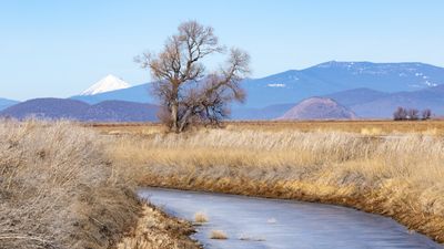
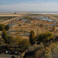
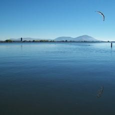
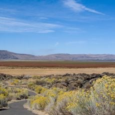
Lower Klamath National Wildlife Refuge is a nature reserve straddling the California-Oregon border, made up of shallow marshes, open water, grasslands, and farmed fields. These different habitats sit close together, making it possible to spot a wide range of wildlife without traveling far within the area.
The refuge was set aside in 1908 under President Theodore Roosevelt, making it the first waterfowl sanctuary in the United States. That decision shaped how the country would approach wildlife protection in the decades that followed.
The refuge sits within the Klamath Basin, one of the most important stopover areas for migratory birds in North America, and visitors can watch large flocks of ducks, geese, and cranes gather in the water and fields each fall and spring. The sight of thousands of birds moving together draws birdwatchers from far away.
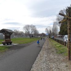
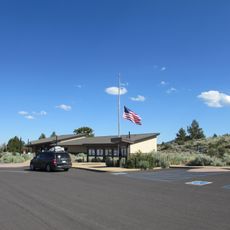
A gravel auto route winds through the refuge and passes several spots where you can pull over and watch birds without leaving your car. For a closer view, photo blinds are available and can be reserved through the visitor center.
Parts of the refuge are actively farmed, and the harvested fields are then flooded to create temporary wetlands that attract birds in large numbers. This rotation between farming and flooding is one of the few working models where food production and wildlife care go hand in hand.
The community of curious travelers
AroundUs brings together thousands of curated places, local tips, and hidden gems, enriched daily by 60,000 contributors worldwide.