Chest opened
+${chestReward.xp} XP
Explorer
NOUVEAU ×${chestReward.collectible.quantity}
tapez pour fermer
Chest locked

Open chests in the app

Around Us is built for your phone — chests unlock when you walk, explore and capture nearby places.

Enable Location

We need your location to show you interesting places around you

Discover nearby places

Find interesting locations and hidden gems around you

Precise directions

Get accurate directions and distances to places

Your location is never shared with other users. It's only used when you tap the location button.

Tulelake

Log in to your account

Start exploring — it's free

Trusted by 72,887 travelers worldwide

Continue with Google
Continue with Apple
or

We will send you a code to connect

By continuing, you accept our Terms and Conditions and our Privacy Policy

Check your inbox

We've sent a pincode in your inbox. Please enter the code below.

Discussion Reviews 1 Photos
18k Popularity

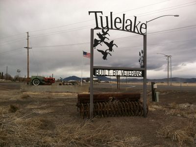
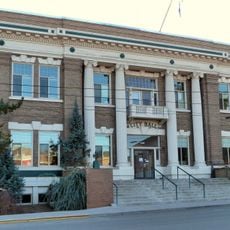
Tulelake, city in Siskiyou County, California, United States

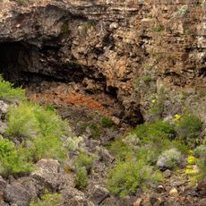
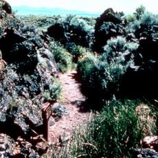
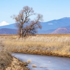
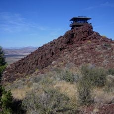
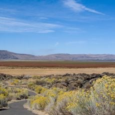
Tulelake is a small city in Siskiyou County, California, situated on drained lakebed in volcanic terrain. It spreads along Highway 139 and is surrounded by farmland and pastures that extend to the horizon.

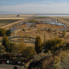
The city emerged in the 1930s after the original Tule Lake was drained to make land available for settlement and farming. Growth was rapid, and it was officially incorporated in 1937, with the population reaching roughly 2,500 by the 1950s.

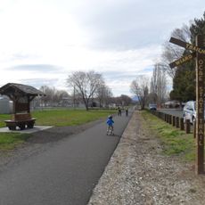
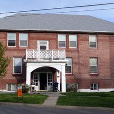
The town's name reflects the drained lake that once defined the landscape, and this heritage remains part of local identity. Community life centers around neighborhood gathering spots and school events that continue to bring residents together.

The city sits at elevation where temperatures cool from September through March, while summer months are dry and mild. Visitors should prepare for longer drives, as nearby major towns are distant and public transportation is limited.

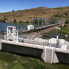
Water beneath the town once contained methane that would ignite on its own, making well construction an unusual challenge. Early residents still recall needing to drill deep to reach safe drinking water.

The community of curious travelers

AroundUs brings together thousands of curated places, local tips, and hidden gems, enriched daily by 60,000 contributors worldwide.

Start exploring
Location
Inception
March 1, 1937
GPS coordinates
41.95417,-121.47583
Latest update
February 17, 2026 00:00
Around this place
Lava Beds National Monument
United States of America

Lava Beds National Monument

26.9 km
Medicine Lake Volcano
United States of America

Medicine Lake Volcano

42.6 km
Captain Jack's Stronghold
United States of America

Captain Jack's Stronghold

14.9 km
Lower Klamath National Wildlife Refuge
United States of America

Lower Klamath National Wildlife Refuge

18.3 km
Link River Dam
United States of America

Link River Dam

41.2 km
Tule Lake National Wildlife Refuge
United States of America

Tule Lake National Wildlife Refuge

7.5 km
OC&E Woods Line State Trail
United States of America

OC&E Woods Line State Trail

36.3 km
Clear Lake National Wildlife Refuge
United States of America

Clear Lake National Wildlife Refuge

31.9 km
John C. Boyle Dam
United States of America

John C. Boyle Dam

50.9 km
Lake Ewauna
United States of America

Lake Ewauna

38.2 km
Petroglyph Point Archaeological Site
United States of America

Petroglyph Point Archaeological Site

14 km
Bear Valley National Wildlife Refuge
United States of America

Bear Valley National Wildlife Refuge

36.8 km
Schonchin Butte
United States of America

Schonchin Butte

24.5 km
Klamath Basin National Wildlife Refuge Complex
United States of America

Klamath Basin National Wildlife Refuge Complex

7.4 km
Gerber Reservoir
United States of America

Gerber Reservoir

41.2 km
Canby's Cross
United States of America

Canby's Cross

16.1 km
Baldwin Hotel
United States of America

Baldwin Hotel

39.2 km
Klamath Falls City Hall
United States of America

Klamath Falls City Hall

39.2 km
Blackburn Sanitarium
United States of America

Blackburn Sanitarium

39.5 km
Judge Henry L. Benson House
United States of America

Judge Henry L. Benson House

39.4 km
Richardson–Ulrich House
United States of America

Richardson–Ulrich House

39.8 km
Tule Lake National Monument
United States of America

Tule Lake National Monument

11 km
Schonchin Butte Lookout
United States of America

Schonchin Butte Lookout

24.5 km
Klamath County Museum
United States of America

Klamath County Museum

39.3 km
Skull Cave
United States of America

Skull Cave

25 km
Mushpot Cave
United States of America

Mushpot Cave

26.9 km
Hospital Rock Trail
United States of America

Hospital Rock Trail

13.5 km
Lava Beds Visitor Center
United States of America

Lava Beds Visitor Center

26.9 km
Show the full map
Reviews
Share your experience

No review yet

Discussions
Start a discussion...

No discussion yet

« Tulelake - city in Siskiyou County, California, United States » is provided by Around Us (aroundus.com). Images and texts are derived from Wikimedia project under a Creative Commons license. You are allowed to copy, distribute, and modify copies of this page, under the conditions set by the license, as long as this note is clearly visible.

Discover hidden gems everywhere you go!

From secret cafés to breathtaking viewpoints, skip the crowded tourist spots and find places that match your style. Our app makes it easy with voice search, smart filtering, route optimization, and insider tips from travelers worldwide. Download now for the complete mobile experience.

Around Us App Screenshot

A unique approach to discovering new places

Le Figaro

All the places worth exploring

France Info

A tailor-made excursion in just a few clicks

20 Minutes

Around Us
Travel Guide & Maps
Download

Send to your phone

QR Code
1

Open the camera app on your mobile.

2

Point at the QR code with your camera. A notification will appear.

3

Tap the notification to open the link.