
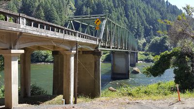
Scottsburg Bridge, Road bridge in Douglas County, Oregon, USA; Douglas County, Oregon, USA
Location: Douglas County
Inception: 1929
GPS coordinates: 43.65409,-123.82515
Latest update: September 23, 2025 16:56
Oregon Dunes National Recreation Area
29.4 km
Siuslaw National Forest
27.8 km
Jessie M. Honeyman Memorial State Park
38.4 km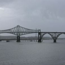
Conde McCullough Memorial Bridge
40.8 km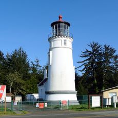
Umpqua River Light
30 km
Elliott State Forest
17.4 km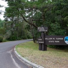
William M. Tugman State Park
28.9 km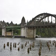
Siuslaw River Bridge
41.4 km
Fort Umpqua
20.6 km
Devil's Staircase Wilderness
10.6 km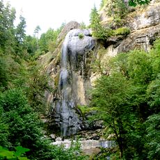
Golden and Silver Falls State Natural Area
20.7 km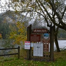
Umpqua State Scenic Corridor
6.5 km
Umpqua River Bridge
23 km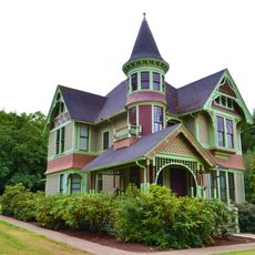
Charles and Anna Drain House
41.4 km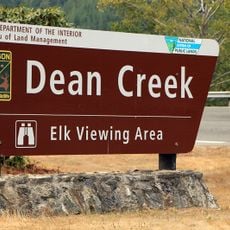
Dean Creek Wildlife Area
17.8 km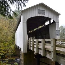
Wildcat Creek Bridge
41.3 km
Edwin E. Benedict House
40.7 km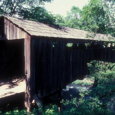
Roaring Camp Bridge
31.1 km
Beaver Creek Falls
32.5 km
Haynes Inlet Bridge
39.8 km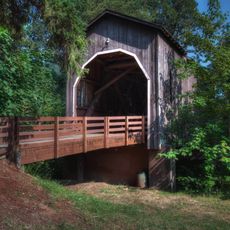
Pass Creek Bridge
41 km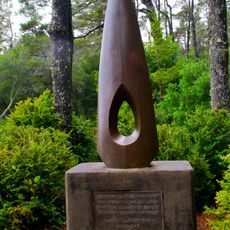
Eye of the Needle
38.3 km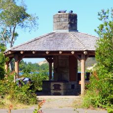
Jessie M. Honeyman Memorial State Park Hexagonal Kitchen Shelter
38.5 km
Jessie M. Honeyman Memorial State Park Historic District
38.5 km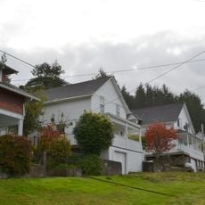
Gardiner Historic District
24.4 km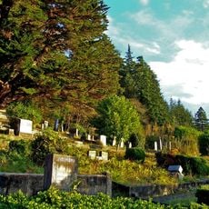
Gardiner Cemetery
24.6 km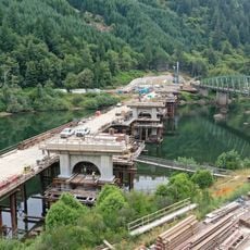
Scottsburg Bridge
82 m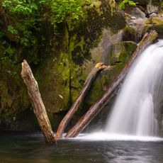
Sweet Creek Falls
33.1 kmReviews
Visited this place? Tap the stars to rate it and share your experience / photos with the community! Try now! You can cancel it anytime.
Discover hidden gems everywhere you go!
From secret cafés to breathtaking viewpoints, skip the crowded tourist spots and find places that match your style. Our app makes it easy with voice search, smart filtering, route optimization, and insider tips from travelers worldwide. Download now for the complete mobile experience.

A unique approach to discovering new places❞
— Le Figaro
All the places worth exploring❞
— France Info
A tailor-made excursion in just a few clicks❞
— 20 Minutes