
Marion Creek Bridge, historic bridge located in Linn County, Oregon
Location: Linn County
Inception: 1934
GPS coordinates: 44.61463,-121.94871
Latest update: March 14, 2025 11:29

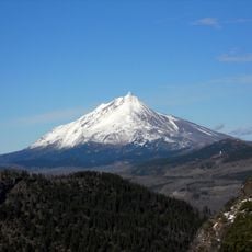
Mount Jefferson
13.6 km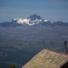
Three Fingered Jack
17.3 km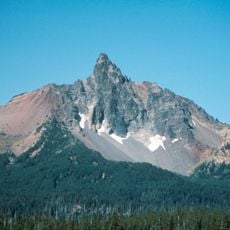
Mount Washington
32.6 km
Detroit Lake
22.3 km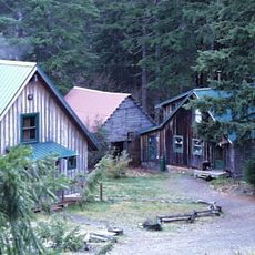
Opal Creek Wilderness
33 km
Mount Jefferson Wilderness
13.7 km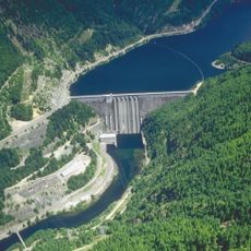
Detroit Dam
26.6 km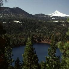
Blue Lake Crater
26.5 km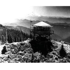
Bull of the Woods Wilderness
31.5 km
Hoodoo Butte
24.3 km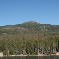
Olallie Butte
27.3 km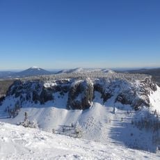
Hayrick Butte
24.7 km
Elliott Corbett Memorial State Recreation Site
26.6 km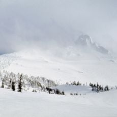
Mount Washington Wilderness
32.6 km
Santiam Wagon Road
22.7 km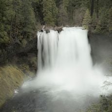
Koosah Falls
30.3 km
Clackamas Wilderness
33.1 km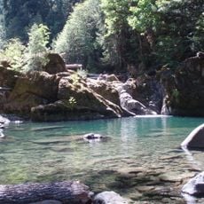
Middle Santiam Wilderness
26.4 km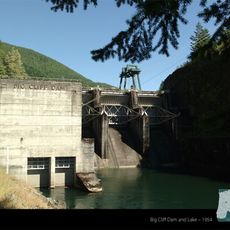
Big Cliff Dam
30.5 km
Camp Pioneer (Oregon)
6.7 km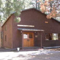
Camp Sherman Community Hall
30 km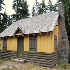
Olallie Lake Guard Station
25.6 km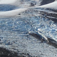
Jefferson Park Glacier
13.7 km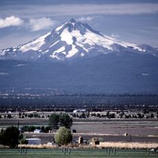
Whitewater Glacier
14.5 km
Marion Forks Guard Station
53 m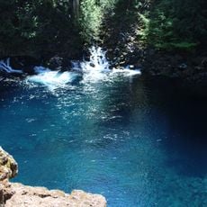
Tamolitch Blue Pool
34.2 km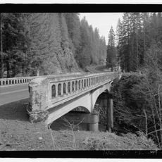
Pamelia Creek Bridge
5.4 km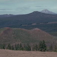
Sand Mountain Field
26.2 kmReviews
Visited this place? Tap the stars to rate it and share your experience / photos with the community! Try now! You can cancel it anytime.
Discover hidden gems everywhere you go!
From secret cafés to breathtaking viewpoints, skip the crowded tourist spots and find places that match your style. Our app makes it easy with voice search, smart filtering, route optimization, and insider tips from travelers worldwide. Download now for the complete mobile experience.

A unique approach to discovering new places❞
— Le Figaro
All the places worth exploring❞
— France Info
A tailor-made excursion in just a few clicks❞
— 20 Minutes