
Obsidian Flow Trail, sentier de randonnée en Oregon
Location: Deschutes County
Website: https://www.fs.usda.gov/recarea/deschutes/recarea/?recid=38430&actid=119
Website: https://fs.usda.gov/recarea/deschutes/recarea/?recid=38430&actid=119
GPS coordinates: 43.70635,-121.23587
Latest update: March 28, 2025 06:18
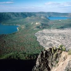
Newberry Volcano
2.4 km
Newberry National Volcanic Monument
1.9 km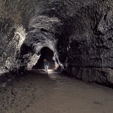
Lava River Cave
23.6 km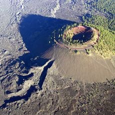
Lava Butte
25.4 km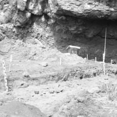
Fort Rock Cave
38.1 km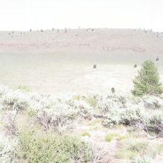
Hole-in-the-Ground
33.9 km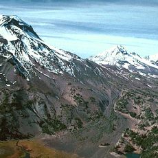
Three Sisters Wilderness
39 km
Les Schwab Amphitheater
38.5 km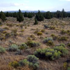
Oregon Badlands Wilderness
36.3 km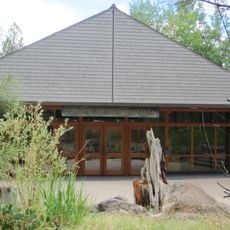
High Desert Museum
30.1 km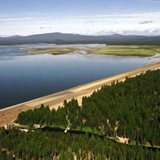
Wickiup Reservoir
37.3 km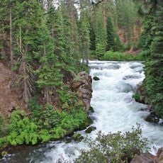
Benham Falls
29.6 km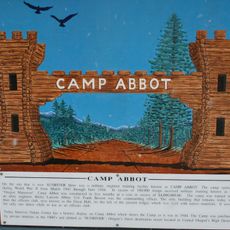
Camp Abbot
25 km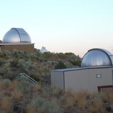
Pine Mountain Observatory
25.5 km
Vince Genna Stadium
37.9 km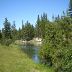
La Pine State Park
24.8 km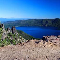
Paulina Peak
2.5 km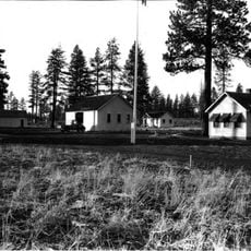
Cabin Lake Guard Station
27.9 km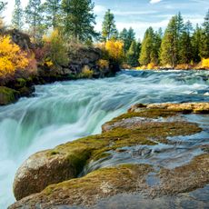
Dillon Falls
31.4 km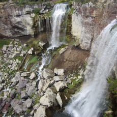
Paulina Falls
3.8 km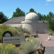
Sunriver Observatory
26.2 km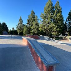
Ponderosa Skatepark
37.9 km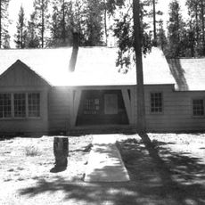
Paulina Lake Guard Station
3.4 km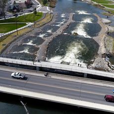
Bend Whitewater Park
38.9 km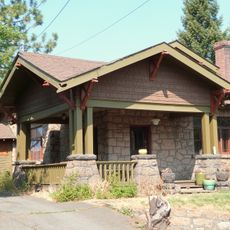
Peter Byberg House
39.2 km
Simpson E. Jones House
39.2 km
Juniper Swim and Fitness
39.3 km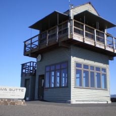
Lava Butte Lookout
25.5 kmReviews
Visited this place? Tap the stars to rate it and share your experience / photos with the community! Try now! You can cancel it anytime.
Discover hidden gems everywhere you go!
From secret cafés to breathtaking viewpoints, skip the crowded tourist spots and find places that match your style. Our app makes it easy with voice search, smart filtering, route optimization, and insider tips from travelers worldwide. Download now for the complete mobile experience.

A unique approach to discovering new places❞
— Le Figaro
All the places worth exploring❞
— France Info
A tailor-made excursion in just a few clicks❞
— 20 Minutes