
The Palisades, cliff in Wheeler County, Oregon, United States of America
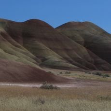
Painted Hills
30.2 km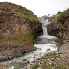
White River Falls State Park
64.7 km
Cottonwood Canyon State Park
63.2 km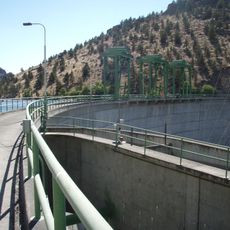
Pelton Dam
68.7 km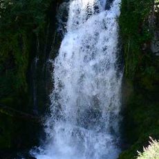
Bridge Creek Wilderness
51 km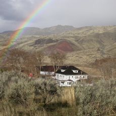
James Cant Ranch
72.8 km
Mill Creek Wilderness
49.1 km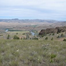
Spring Basin Wilderness
1.9 km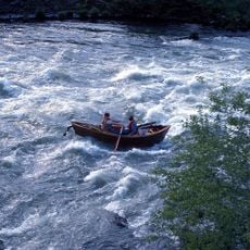
Boxcar Rapids
60.6 km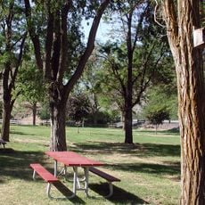
Dyer State Wayside
29.8 km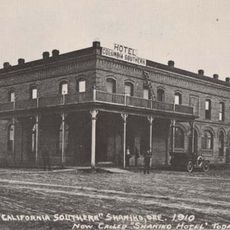
Shaniko Hotel
28.3 km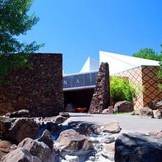
The Museum at Warm Springs
67.8 km
Grizzly Mountain
67.8 km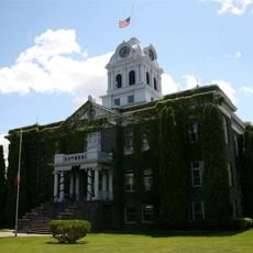
Crook County Courthouse
75.8 km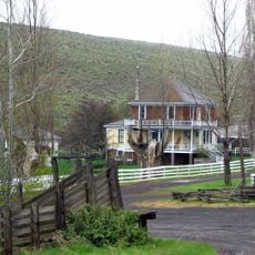
Imperial Stock Ranch Headquarters Complex
35.9 km
A. R. Bowman Memorial Museum
75.9 km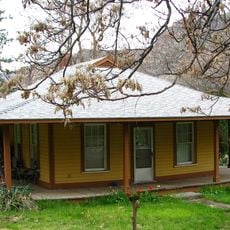
Maupin Section Foreman's House
59.7 km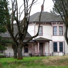
John and Helen Moore House
65 km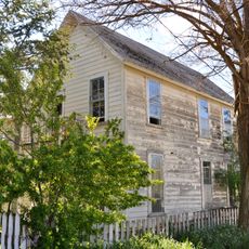
Thomas Benton Hoover House
18.7 km
Old First National Bank of Prineville
75.9 km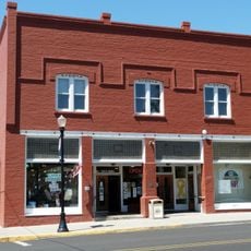
S. B. Barker Building
40.2 km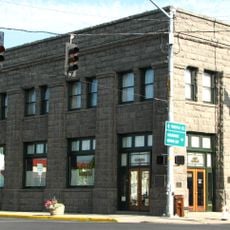
Crook County Bank Building
75.9 km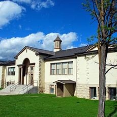
Fossil Public School
18.9 km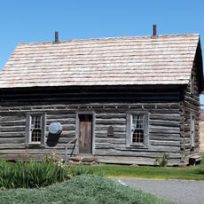
Silas A. Rice Log House
41.2 km
Lamonta Compound
75.4 km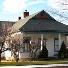
Max and Ollie Lueddemann House
63.8 km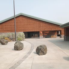
Thomas Condon Paleontology Center
72.9 km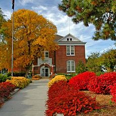
Sherman County Courthouse
60.3 kmReviews
Visited this place? Tap the stars to rate it and share your experience / photos with the community! Try now! You can cancel it anytime.
Discover hidden gems everywhere you go!
From secret cafés to breathtaking viewpoints, skip the crowded tourist spots and find places that match your style. Our app makes it easy with voice search, smart filtering, route optimization, and insider tips from travelers worldwide. Download now for the complete mobile experience.

A unique approach to discovering new places❞
— Le Figaro
All the places worth exploring❞
— France Info
A tailor-made excursion in just a few clicks❞
— 20 Minutes