Chest opened
+${chestReward.xp} XP
Explorer
NOUVEAU ×${chestReward.collectible.quantity}
tapez pour fermer
Chest locked

Open chests in the app

Around Us is built for your phone — chests unlock when you walk, explore and capture nearby places.

Enable Location

We need your location to show you interesting places around you

Discover nearby places

Find interesting locations and hidden gems around you

Precise directions

Get accurate directions and distances to places

Your location is never shared with other users. It's only used when you tap the location button.

Columbia Slough

Log in to your account

Start exploring — it's free

Trusted by 72,932 travelers worldwide

Continue with Google
Continue with Apple
or

We will send you a code to connect

By continuing, you accept our Terms and Conditions and our Privacy Policy

Check your inbox

We've sent a pincode in your inbox. Please enter the code below.

Columbia Slough
Discussion Reviews 1 Photos
11.9k Popularity

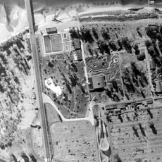
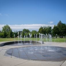
Columbia Slough, River system in Portland, United States.

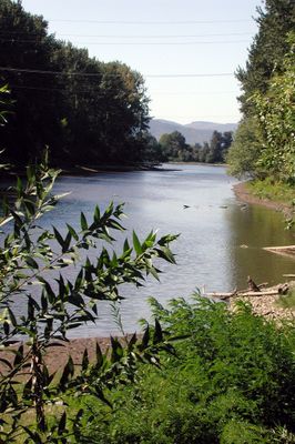
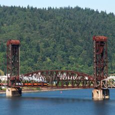
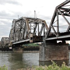
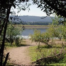
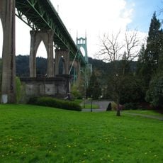
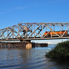
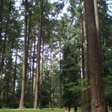
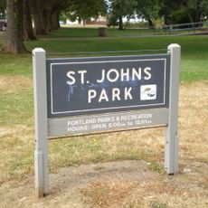
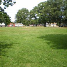
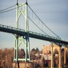
The Columbia Slough is a river system stretching through north Portland, connecting multiple waterways from Fairview Lake down to the Willamette River. Walking along its banks, you encounter a mix of wooded shores, open water, and quiet channels that shift between natural and developed areas.

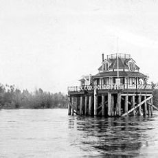
Levees built in the early 1900s transformed the natural wetlands into a managed waterway system designed for industry and agriculture. This reshaping determined the shape of the area you see today and how water flows through the city.

The Upper Chinook people depended on these waters for food and sustainable living, a relationship that shaped how the landscape developed over centuries. Today, visitors can sense this heritage through restoration projects and community efforts to reconnect with the river's natural rhythms.

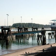
The best way to explore is on foot or by bicycle, with trails accessible along many sections of the shoreline. Be prepared for changing water levels and check local conditions before visiting, especially if you plan any water-based activities.

High tides cause the water to reverse its flow backward through the system, creating a dynamic environment where conditions constantly shift. This tidal push creates distinct zones with different water qualities and wildlife that react to these rhythmic changes.

The community of curious travelers

AroundUs brings together thousands of curated places, local tips, and hidden gems, enriched daily by 60,000 contributors worldwide.

Start exploring
Location
GPS coordinates
45.64330,-122.76900
Latest update
December 7, 2025 20:47
Around this place
St. Johns Bridge
United States of America

St. Johns Bridge

6.5 km
Portland International Raceway
United States of America

Portland International Raceway

7.7 km
Course of the Willamette River
United States of America

Course of the Willamette River

1.1 km
Columbia River Crossing
United States of America

Columbia River Crossing

7.7 km
Jantzen Beach
United States of America

Jantzen Beach

7.6 km
Burlington Northern Railroad Bridge 5.1
United States of America

Burlington Northern Railroad Bridge 5.1

7.5 km
Burlington Northern Railroad Bridge 9.6
United States of America

Burlington Northern Railroad Bridge 9.6

6.4 km
Kelley Point Park
United States of America

Kelley Point Park

829 m
Smith and Bybee Wetlands Natural Area
United States of America

Smith and Bybee Wetlands Natural Area

3 km
Esther Short Park
United States of America

Esther Short Park

7.6 km
USS LCI-713
United States of America

USS LCI-713

7.6 km
Wapato Bridge
United States of America

Wapato Bridge

4 km
Cathedral Park
United States of America

Cathedral Park

6.3 km
Oregon Slough Railroad Bridge
United States of America

Oregon Slough Railroad Bridge

6.1 km
Clark County Historical Museum
United States of America

Clark County Historical Museum

7.7 km
Pier Park
United States of America

Pier Park

4.6 km
McCoy Park
United States of America

McCoy Park

7.2 km
Slocum House
United States of America

Slocum House

7.4 km
Bybee–Howell House
United States of America

Bybee–Howell House

3.9 km
St. Johns City Hall
United States of America

St. Johns City Hall

6.1 km
The Pioneer Mother Memorial
United States of America

The Pioneer Mother Memorial

7.5 km
St. Johns Library
United States of America

St. Johns Library

6.1 km
Salmon Run Bell Tower
United States of America

Salmon Run Bell Tower

7.6 km
Willamette River Light
United States of America

Willamette River Light

1.2 km
St. Johns Park
United States of America

St. Johns Park

5.8 km
George Park
United States of America

George Park

6 km
Clark County Courthouse
United States of America

Clark County Courthouse

7.3 km
Schrunk Riverview Tower
United States of America

Schrunk Riverview Tower

5.9 km
Show the full map
Reviews
Share your experience

No review yet

Discussions
Start a discussion...

No discussion yet

« Columbia Slough - River system in Portland, United States » is provided by Around Us (aroundus.com). Images and texts are derived from Wikimedia project under a Creative Commons license. You are allowed to copy, distribute, and modify copies of this page, under the conditions set by the license, as long as this note is clearly visible.

Discover hidden gems everywhere you go!

From secret cafés to breathtaking viewpoints, skip the crowded tourist spots and find places that match your style. Our app makes it easy with voice search, smart filtering, route optimization, and insider tips from travelers worldwide. Download now for the complete mobile experience.

Around Us App Screenshot

A unique approach to discovering new places

Le Figaro

All the places worth exploring

France Info

A tailor-made excursion in just a few clicks

20 Minutes

Around Us
Travel Guide & Maps
Download

Send to your phone

QR Code
1

Open the camera app on your mobile.

2

Point at the QR code with your camera. A notification will appear.

3

Tap the notification to open the link.