Mount Rainier National Park, National park in Pierce County, Washington, US
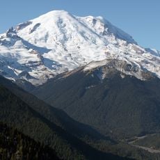
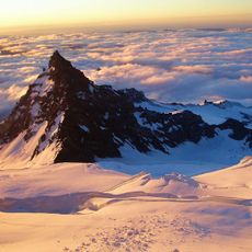
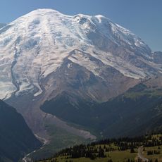
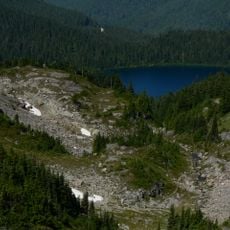
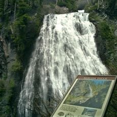
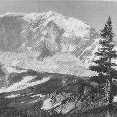
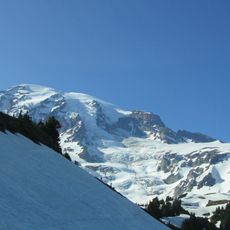
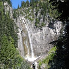
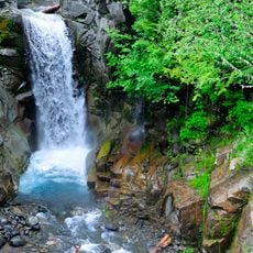
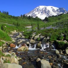
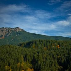
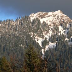
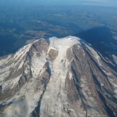
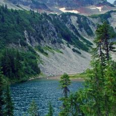
This park covers roughly 236,400 acres (about 95,700 hectares) of protected wilderness and displays a 14,410-foot (4,390-meter) volcanic peak wrapped by deep valleys, rushing waterfalls, and thick old-growth forests. The alpine meadows bloom in vivid colors during summer, while glaciers cling to the slopes of the volcano.
The park was created on March 2, 1899, when President William McKinley signed the bill; it was the first national park carved from a national forest. John Muir had climbed Mount Rainier in 1888, and that trip helped convince him to dedicate his life to preserving nature. Muir and the Sierra Club joined Tacoma and Seattle business leaders and the Northern Pacific Railway in a five-year campaign that took six attempts to pass Congress.
The original name of the mountain comes from the Lushootseed language of the Native American tribes who lived on this land for thousands of years before European settlers arrived. Today, visitors walk trails that once served as trade routes and hunting paths for these tribes, whose descendants still maintain connections to this place.
From November through May, all vehicles must carry tire chains because winter weather regularly closes or restricts roads at higher elevations. Most trails open fully only in late spring once snowfields melt and rangers confirm safe conditions for hiking.
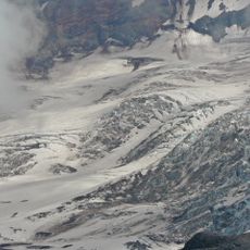
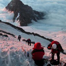
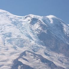
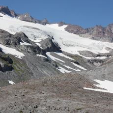
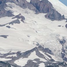
Carbon Glacier is the largest glacier by volume in the contiguous United States, while Emmons Glacier is the largest by area. The park's glaciers and snowfields cover about 35 square miles (91 km²). More than 25 glaciers descend the flanks of Mount Rainier.
The community of curious travelers
AroundUs brings together thousands of curated places, local tips, and hidden gems, enriched daily by 92,785 contributors worldwide.