Pacific Ranges, Mountain range in British Columbia, Canada
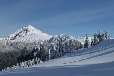
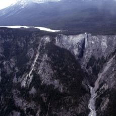
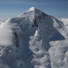
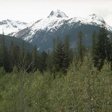
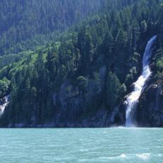
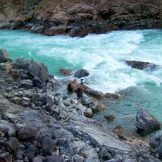
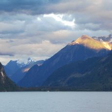
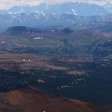
The Pacific Ranges are a mountain chain in southwestern British Columbia, running between the Fraser River to the south and the Bella Coola River to the north. The chain includes many peaks, glaciers, and deep valleys, divided into several subranges.
Captain George Vancouver charted the coastal edge of these mountains in the 1790s, opening the way for later inland explorations. The interior of the range remained largely unknown to outsiders well into the 19th century.
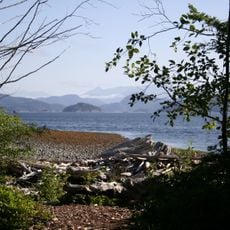
These mountains have been home to Coast Salish nations for thousands of years, with archaeological sites showing how communities lived across this landscape. The region remains important to local peoples who continue their connection to these lands.
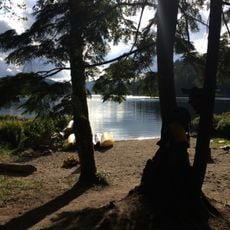
Provincial parks such as Garibaldi offer marked trails and camping spots that make a practical starting point for exploring the range. Higher passes and glaciated areas are generally only accessible in summer and early fall, as snow and ice block the way the rest of the year.
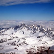
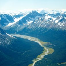
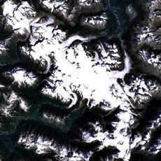
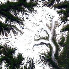
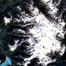
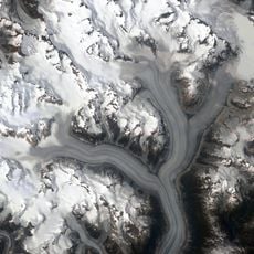
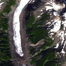
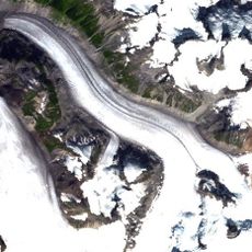
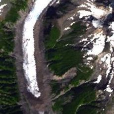
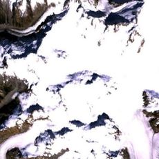
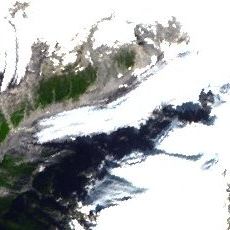
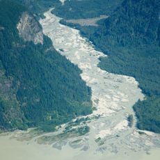
The range contains four large coastal ice masses that rank among the biggest temperate glaciers on the planet, all gathered within the same chain. Scientists study them closely because they record how climate has shaped this landscape over centuries.
The community of curious travelers
AroundUs brings together thousands of curated places, local tips, and hidden gems, enriched daily by 60,000 contributors worldwide.