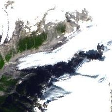
Knight Inlet, Ocean inlet in British Columbia, Canada
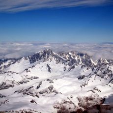
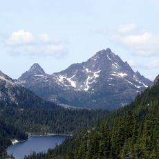
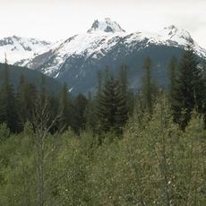
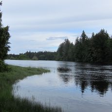
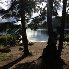
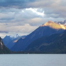
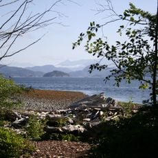
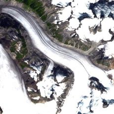
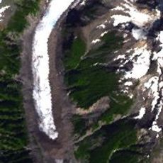
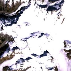
Knight Inlet is a long ocean passage cutting through the Coast Range Mountains with steep forested shores on both sides. The waterway narrows and widens along its length, creating different landscapes as it penetrates deep into the wilderness.
The inlet was mapped in 1792 during a major European exploration voyage along the Pacific coast and named after a British naval officer. This mapping established the waterway on European charts and connected it to broader colonial exploration efforts.
The Kwakwaka'wakw village of Mamalilaculla on Village Island contains cedar house posts and a 6,000-year-old archaeological site.
Visiting requires arrival by boat or seaplane since there are no roads to the inlet. Plan your trip around water conditions and weather, as the passage can experience strong currents and waves depending on the season.
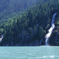
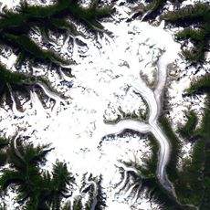
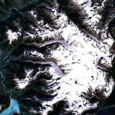
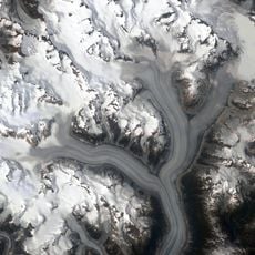
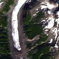
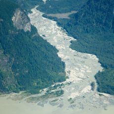
Glacial meltwater flowing from mountain sources creates shifting color patterns in the water that change throughout the day. Visitors often notice how the inlet transforms its appearance as light and tide interact with the sediment-rich flow.
The community of curious travelers
AroundUs brings together thousands of curated places, local tips, and hidden gems, enriched daily by 60,000 contributors worldwide.