
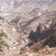
Nahatlatch Provincial Park and Protected Area, Protected area of the Canadian province of British Colombia
Location: British Columbia
Inception: 1999
Website: http://www.env.gov.bc.ca/bcparks/explore/parkpgs/nahatlatch/
Website: http://env.gov.bc.ca/bcparks/explore/parkpgs/nahatlatch
GPS coordinates: 49.97500,-121.80000
Latest update: May 12, 2025 08:56
Fraser Canyon
46.9 km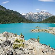
Joffre Lakes Provincial Park
63.5 km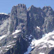
Golden Ears Provincial Park
73.4 km
Garibaldi Provincial Park
68.4 km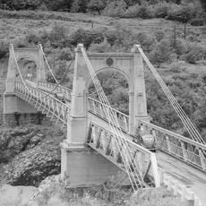
Alexandra Bridge Provincial Park
41.3 km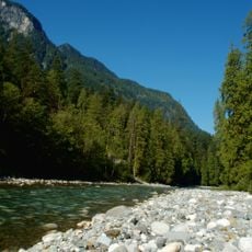
Coquihalla River
67.7 km
Sasquatch Provincial Park
69.9 km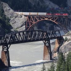
Cisco Bridges
25.1 km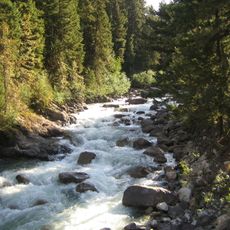
Cayoosh Creek
64 km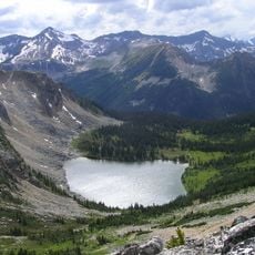
Stein Valley Nlaka'pamux Heritage Park
34.6 km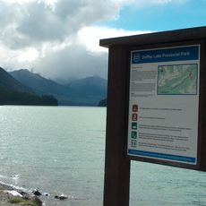
Duffey Lake Provincial Park
61.4 km
Coldwater River
64.6 km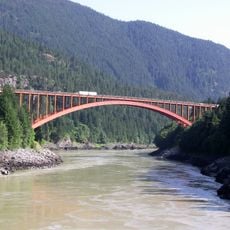
Alexandra Bridge
41.4 km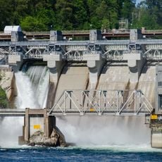
Stave River
60.2 km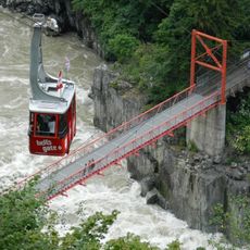
Hell's Gate Airtram
33.2 km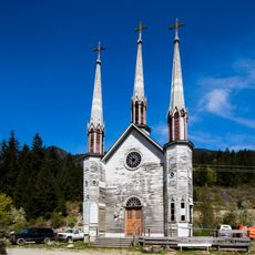
Church of the Holy Cross, Skatin
43.8 km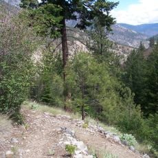
Skihist Provincial Park
37.5 km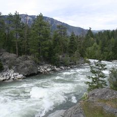
Stein River
36.8 km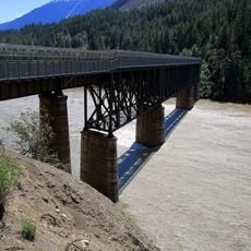
Lytton CNR Fraser Bridge
31.7 km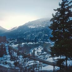
Anderson River
46.8 km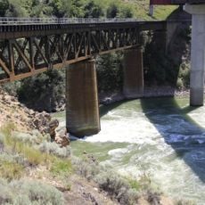
Lytton CNR Thompson Bridge
33.1 km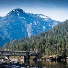
Water Avenue Bridge
70.2 km
Nlháxten/Cerise Creek Conservancy
62.2 km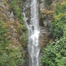
Rainbow Falls
64.2 km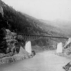
CPR Cisco Bridge
25 km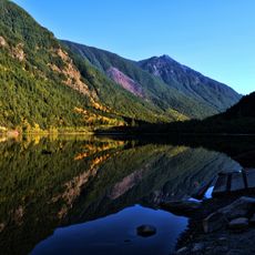
Silverhope Creek
71.3 km
Christ Church
70.9 km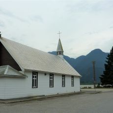
Our Lady of Good Hope Roman Catholic Church (Hope, British Columbia)
70.9 kmReviews
Visited this place? Tap the stars to rate it and share your experience / photos with the community! Try now! You can cancel it anytime.
Discover hidden gems everywhere you go!
From secret cafés to breathtaking viewpoints, skip the crowded tourist spots and find places that match your style. Our app makes it easy with voice search, smart filtering, route optimization, and insider tips from travelers worldwide. Download now for the complete mobile experience.

A unique approach to discovering new places❞
— Le Figaro
All the places worth exploring❞
— France Info
A tailor-made excursion in just a few clicks❞
— 20 Minutes