Enable Location

We need your location to show you interesting places around you

Discover nearby places

Find interesting locations and hidden gems around you

Precise directions

Get accurate directions and distances to places

Your location is never shared with other users. It's only used when you tap the location button.

Cache Creek

Log in to your account

Start exploring — it's free

Trusted by 62,317 travelers worldwide

Continue with Google
Continue with Apple
or

We will send you a code to connect

By continuing, you accept our Terms and Conditions and our Privacy Policy

Check your inbox

We've sent a pincode in your inbox. Please enter the code below.

Cache Creek

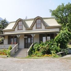
Cache Creek, Village in Thompson-Nicola Regional District, Canada

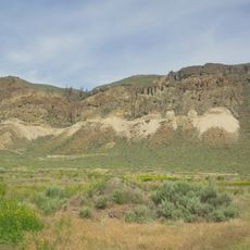
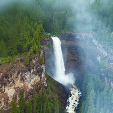
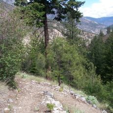
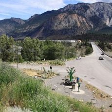
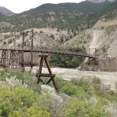
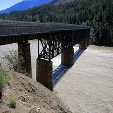
Cache Creek is a village in British Columbia's Thompson-Nicola Regional District situated where major highways intersect. The settlement sits at about 396 meters elevation in a semi-arid region and functions as a stopping point for travelers passing through.

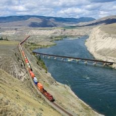
The village rose to prominence during the Cariboo Gold Rush of the 1860s when it supplied miners heading to goldfields in the region. This era of prospecting activity established it as a key supply hub that shaped the settlement's development.

The community reflects both First Nations traditions and settler roots through local events and celebrations that bring people together. You can see these different influences in how residents gather and mark important occasions throughout the year.

The village provides fuel stations, restaurants, lodging, and shops along the main routes for travelers passing through. You'll find the essentials you need for a brief stop here.

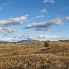
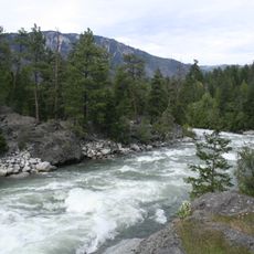
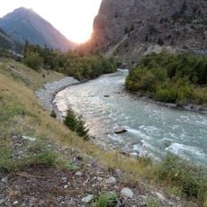
The area experiences some of Canada's hottest summer temperatures due to its location in a dry region of the province. This intense heat shapes the landscape and daily routines of people living here.

The community of curious travelers

AroundUs brings together thousands of curated places, local tips, and hidden gems, enriched daily by 60,000 contributors worldwide.

Start exploring
Elevation above the sea
396 m
GPS coordinates
50.81194,-121.32333
Latest update
December 7, 2025 19:31
« Cache Creek - Village in Thompson-Nicola Regional District, Canada » is provided by Around Us (aroundus.com). Images and texts are derived from Wikimedia project under a Creative Commons license. You are allowed to copy, distribute, and modify copies of this page, under the conditions set by the license, as long as this note is clearly visible.

Discover hidden gems everywhere you go!

From secret cafés to breathtaking viewpoints, skip the crowded tourist spots and find places that match your style. Our app makes it easy with voice search, smart filtering, route optimization, and insider tips from travelers worldwide. Download now for the complete mobile experience.

Around Us App Screenshot

A unique approach to discovering new places

Le Figaro

All the places worth exploring

France Info

A tailor-made excursion in just a few clicks

20 Minutes

Around Us
Travel Guide & Maps
Download

Send to your phone

QR Code
1

Open the camera app on your mobile.

2

Point at the QR code with your camera. A notification will appear.

3

Tap the notification to open the link.