California State Route 14

Log in to your account

AroundUs is a community-driven map of interesting places, built by curious explorers like you. It grows with every review, story, and photo you share.
Connect to save your favorite spots, contribute locations, and create personalized routes.
Continue with Google
Continue with Apple
Continue with X
Continue with Facebook
Continue with email
By continuing, you accept our Terms and Conditions and our Privacy Policy
Create an account

California State Route 14

Add to collection
Map
Suggest a change
Share

California State Route 14, State highway in Los Angeles and Kern Counties, United States

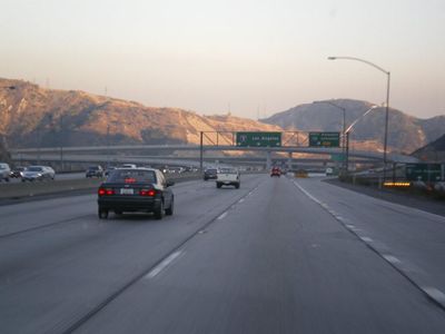
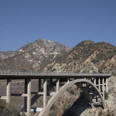
California State Route 14 is a state highway running north from Santa Clarita to Inyokern, crossing mountains, valleys, and desert terrain. It connects with Interstate 5, State Route 138, and U.S. Route 395, serving as a major transportation corridor between Los Angeles and the Mojave Desert region.

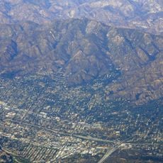
Established in 1964, the highway created an essential connection between Los Angeles and the Mojave Desert for regional development. It played a key role in opening transportation routes to major military and commercial facilities in the area.

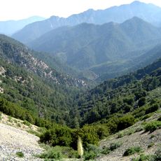
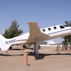
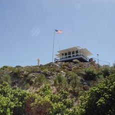
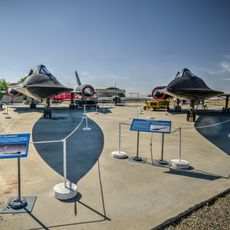
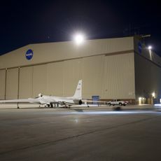
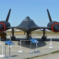
The northern stretch carries the name Aerospace Highway and passes Edwards Air Force Base, a place deeply linked to aviation and space exploration history. This connection shapes how locals and travelers view the road as more than just a highway.

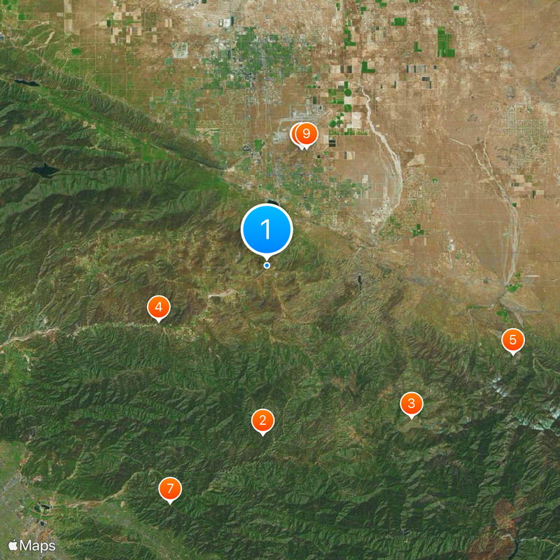
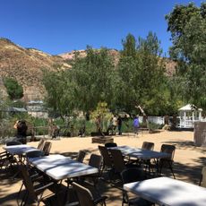
The route offers several exits and rest areas, especially near parks and scenic spots along the way. Driving during daylight is advisable, and bringing water is important since long stretches pass through sparsely populated terrain.

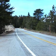
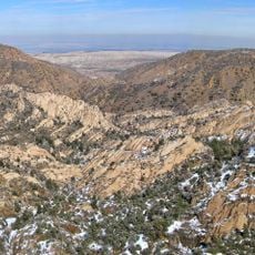
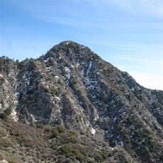
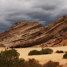
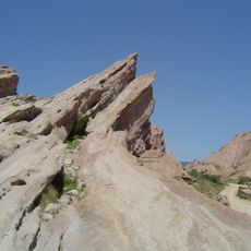
The road passes through Red Rock Canyon State Park, where colorful rock formations and dramatic cliff faces create striking visual landmarks. This section reveals how diverse the geology can be in a relatively small area.

Location: Los Angeles County

Location: Kern County

Inception: 1964

GPS coordinates: 34.49230,-118.12794

Latest update: December 20, 2025 15:50

Photos
Around this place
Angeles National Forest
United States of America

Angeles National Forest

17.7 km
Angeles Crest Highway
United States of America

Angeles Crest Highway

22 km
Shambala Preserve
United States of America

Shambala Preserve

12.8 km
Devil's Punchbowl
United States of America

Devil's Punchbowl

27.4 km
Scaled Composites Triumph
United States of America

Scaled Composites Triumph

12.8 km
Mount Lukens, California
United States of America

Mount Lukens, California

26.9 km
Joe Davies Heritage Airpark
United States of America

Joe Davies Heritage Airpark

12.8 km
Los Angeles Air Route Traffic Control Center
United States of America

Los Angeles Air Route Traffic Control Center

13 km
Bouquet Reservoir
United States of America

Bouquet Reservoir

25.2 km
Big Tujunga Dam
United States of America

Big Tujunga Dam

22.8 km
Gabrielino Trail
United States of America

Gabrielino Trail

26.6 km
Dry Town Water Park
United States of America

Dry Town Water Park

9.6 km
Littlerock Dam
United States of America

Littlerock Dam

9.7 km
Strawberry Peak
United States of America

Strawberry Peak

23.3 km
Vetter Mountain
United States of America

Vetter Mountain

23.6 km
United States of America

Waterman Mountain

24.7 km
Western Hotel
United States of America

Western Hotel

23 km
Stony Ridge Observatory
United States of America

Stony Ridge Observatory

24.4 km
Vasquez Rocks
United States of America

Vasquez Rocks

17.4 km
Blackbird Airpark
United States of America

Blackbird Airpark

12.9 km
Moah:cedar
United States of America

Moah:cedar

22.9 km
Elyze Clifford Interpretive Center
United States of America

Elyze Clifford Interpretive Center

20.4 km
Blackbird Airpark
United States of America

Blackbird Airpark

12.9 km
Vasquez Rocks Park
United States of America

Vasquez Rocks Park

17.4 km
Vetter Mountain Lookout
United States of America

Vetter Mountain Lookout

23.6 km
Armstrong Aircraft Operations Facility
United States of America

Armstrong Aircraft Operations Facility

14.1 km
Upper Big Tujunga Canyon Road Bridge
United States of America

Upper Big Tujunga Canyon Road Bridge

24.1 km
Lockheed A-12 Blackbird monument
United States of America

Lockheed A-12 Blackbird monument

12.9 km
Show the full map
Reviews

Visited this place? Tap the stars to rate it and share your experience / photos with the community! Try now! You can cancel it anytime.

« California State Route 14 - State highway in Los Angeles and Kern Counties, United States » is provided by Around Us (aroundus.com). Images and texts are derived from Wikimedia project under a Creative Commons license. You are allowed to copy, distribute, and modify copies of this page, under the conditions set by the license, as long as this note is clearly visible.

Discover hidden gems everywhere you go!

From secret cafés to breathtaking viewpoints, skip the crowded tourist spots and find places that match your style. Our app makes it easy with voice search, smart filtering, route optimization, and insider tips from travelers worldwide. Download now for the complete mobile experience.

Around Us App Screenshot

A unique approach to discovering new places

Le Figaro

All the places worth exploring

France Info

A tailor-made excursion in just a few clicks

20 Minutes