Los Angeles Air Route Traffic Control Center, Air traffic control center in Palmdale, California, United States
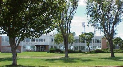
The Los Angeles Air Route Traffic Control Center is an en-route air traffic control facility near Palmdale, California, responsible for managing aircraft flying through the airspace above several western states and parts of the Pacific Ocean. Controllers here handle flights between departure and arrival zones, guiding planes along their routes at cruising altitude.
The center was founded in 1937 in Burbank and moved several times before settling near Palmdale in 1963. That final move was part of a broader effort across the country to reorganize air traffic management as commercial aviation grew rapidly after World War II.
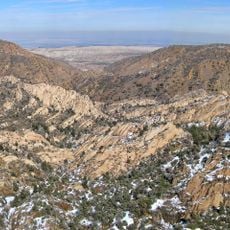
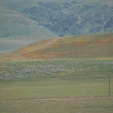
The center takes its name from Los Angeles but sits far from the city, out in the Mojave Desert near Palmdale. This gap between name and location is common in American aviation infrastructure, where facilities are often placed far from the cities they serve.
The center is located in a remote part of the Mojave Desert and is not open to the public. Anyone interested in air traffic control can observe the exterior of the building or explore the topic through aviation museums and online resources in the broader region.
A large part of the airspace managed here is shared with the military, which makes coordination far more complex than at most other centers in the country. This overlap between civilian and military traffic in the same zone is one of the largest of any en-route center in the United States.
The community of curious travelers
AroundUs brings together thousands of curated places, local tips, and hidden gems, enriched daily by 60,000 contributors worldwide.