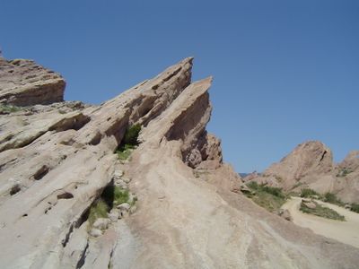
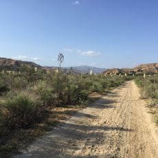
Vasquez Rocks Park, Natural rock formations in Agua Dulce, California.
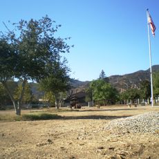
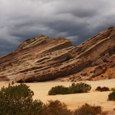
Vasquez Rocks is a 932-acre park with tilted sandstone formations rising from the ground at 45-degree angles and reaching heights of about 150 feet (45 m). The park offers marked hiking trails, a nature center, and equestrian areas accessible daily from sunrise to sunset.
The area was originally home to the Tataviam people who established the settlement of Mapipinga, leaving behind archaeological evidence. The rock formations were later named after Tiburcio Vasquez, a 19th-century bandit from the region.
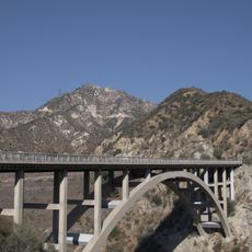
The distinctive rock formations have served as a filming location for decades, from science fiction series to classic Western movies. This use has added a layer of entertainment history to the landscape.
The park is open year-round from sunrise to sunset with parking facilities for those planning to hike or ride. Bring plenty of water since shade is minimal and temperatures can rise significantly during the day.
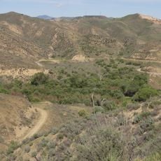
The famous Pacific Crest Trail, running from Mexico to Canada, passes directly through the park past the characteristic rock formations. Hikers on this legendary route experience this section as one of many highlights on their journey.
The community of curious travelers
AroundUs brings together thousands of curated places, local tips, and hidden gems, enriched daily by 60,000 contributors worldwide.


![Nature Center [Placerita State Park]](https://img9.digsty.com/aUXxkLNKKsOqG0cCoGfQjUqw0qr3lud0HH33qdm8vTY/rs:fill:230:230:1/g:fp:0.5:0.5/czM6Ly9hcm91bmR1cy8xNC8xNjUwOTUwODEtMzA4MTBmM2UuanBn.jpg)