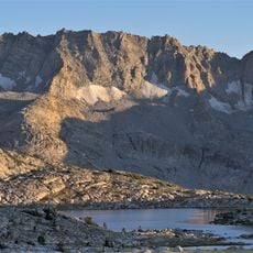
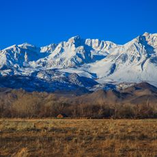
Mount Mills, Mountain summit in Inyo County, California, United States
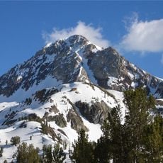
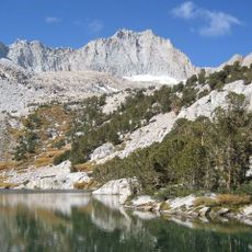
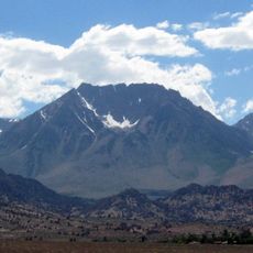
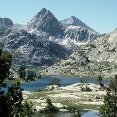
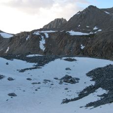
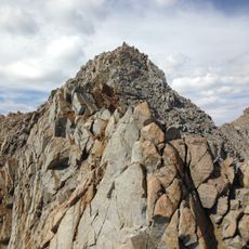
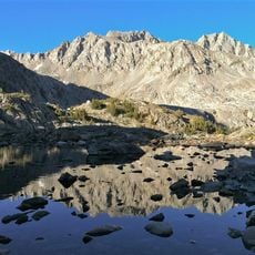
Mount Mills is a 13,457-foot (4,102 m) summit on the Sierra Crest, north of Mount Abbot and south of Mono Pass. Its peak marks the boundary between northwestern Inyo County and eastern Fresno County, within the John Muir Wilderness. The Mono Recesses lie to the west.
Mount Mills is named for Darius Ogden Mills, the banker who founded Millbrae, California, and the Carson and Colorado Railroad. The name first appeared on the 1912 first edition of the Mount Goddard topographic map. The sources record no Sierra Club involvement in the naming.
The peak sits within the John Muir Wilderness and forms part of the Sierra Peaks Section list that mountaineers work to complete. Many climbers view it as a stepping stone in their collection of technical ascents.
Mount Mills lies on the Sierra Crest within the John Muir Wilderness, north of Mount Abbot and south of Mono Pass, with the Mono Recesses to the west. The summit marks the boundary between northwestern Inyo County and eastern Fresno County. Approach routes come from the Rock Creek side, and the peak is overtopped by Mount Abbot to the south-southeast.
The peak features a critical chokestone bypass on the East Face that serves as a key landmark for climbers selecting their route. This rock passage is often used by experienced mountaineers as an indicator of the optimal path to the summit.
The community of curious travelers
AroundUs brings together thousands of curated places, local tips, and hidden gems, enriched daily by 94,427 contributors worldwide.