Laurel Mountain, Mountain summit in Mono County, California
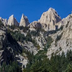
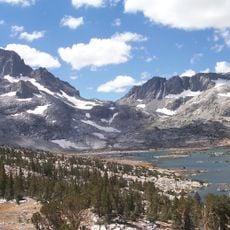
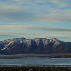
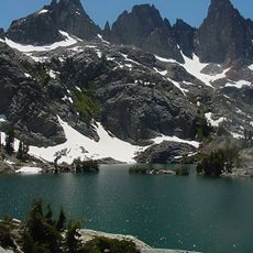
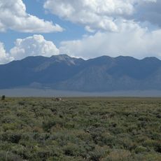
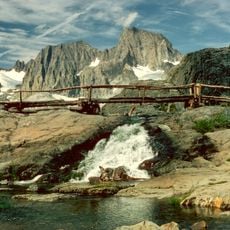
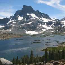
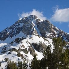
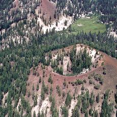
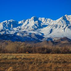
Laurel Mountain is a peak in the Sherwin Range of the Sierra Nevada, in Mono County, California, within Inyo National Forest and the John Muir Wilderness. It reaches 11,818 feet (3,602 m) and is largely composed of metamorphic rock formed by contact with an intruding pluton in the late Cretaceous.
Laurel Mountain lies within the John Muir Wilderness and Inyo National Forest, a protected area of the Sierra Nevada. The name Laurel was recorded for the peak by the U.S. Geological Survey, and the surrounding Sherwin Range has long drawn surveyors and climbers from nearby Mammoth Lakes.
The peak lies within the John Muir Wilderness and Inyo National Forest, so visitors enter under federal wilderness rules that limit group size and require leaving no trace. Its Italian name, Monte Laurel, is used on Italian-language maps and in the Italian Wikipedia entry. From the summit, the Mammoth Lakes basin is visible to the southeast.
Reaching the summit requires solid preparation, including proper navigation tools and plenty of water, since many routes lack clear markings. Hikers should be comfortable with mountain terrain and plan visits during favorable weather windows.
Laurel Mountain's rock is largely metamorphic, formed where an intruding pluton baked the surrounding stone in the late Cretaceous. The peak stands within the John Muir Wilderness and Inyo National Forest, and from the summit the Mammoth Lakes basin can be seen.
The community of curious travelers
AroundUs brings together thousands of curated places, local tips, and hidden gems, enriched daily by 93,489 contributors worldwide.