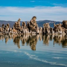
Mono–Inyo Craters, Volcanic chain in Mono County, United States.
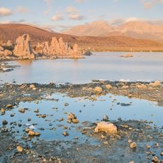
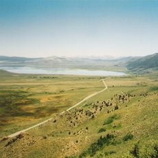
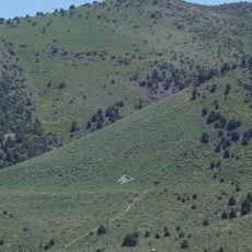
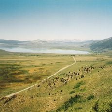
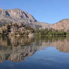
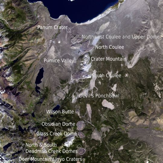
The Mono–Inyo Craters form a 25-mile (40 km) volcanic chain from Mono Lake's northwest shore to south of Mammoth Mountain. The northern Mono Craters are at least 27 rhyolite domes and three glass coulees, including Crater Mountain at 9,172 feet (2,796 m). The southern Inyo chain runs 6 miles (10 km) from Wilson Butte to open explosion pits about 600 feet (180 m) across and 100–200 feet (30–60 m) deep, some with small ponds.
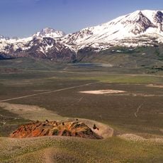
Eruptions along the fissure system beneath the chain began 400,000 to 60,000 years ago in the west moat of Long Valley Caldera, when Mammoth Mountain formed. Repeated eruptions 40,000 to 600 years ago built the Mono Craters, and eruptions 5,000 to 500 years ago formed the Inyo chain. Lava flows 5,000 years ago built the Red Cones, and the uplift of Paoha Island about 250 years ago is the most recent activity.
The Mono Paiute collected obsidian from these volcanic rocks for sharp tools and arrow points; glassy rock is still removed today for commercial scour and yard decoration. From the late 19th to early 20th century, Mono Mills processed timber felled on or near the volcanoes for the boomtown Bodie.
The chain lies in Inyo National Forest, managed by the U.S. Forest Service, and the nearest incorporated town is Mammoth Lakes at its southern end. San Francisco is about 300 km west and Los Angeles about 400 km south. Mono Basin receives roughly 36 cm of precipitation a year, while near Mammoth Lakes it is about 58 cm, so snow can linger at higher elevations.
Scientists continuously monitor this area using GPS receivers and seismometers as part of a regional network tracking potential volcanic activity. This ongoing surveillance helps researchers understand the geological forces working beneath the landscape.
The community of curious travelers
AroundUs brings together thousands of curated places, local tips, and hidden gems, enriched daily by 94,373 contributors worldwide.