Chest opened
+${chestReward.xp} XP
Explorer
NOUVEAU ×${chestReward.collectible.quantity}
tapez pour fermer
Chest locked

Open chests in the app

Around Us is built for your phone — chests unlock when you walk, explore and capture nearby places.

Enable Location

We need your location to show you interesting places around you

Discover nearby places

Find interesting locations and hidden gems around you

Precise directions

Get accurate directions and distances to places

Your location is never shared with other users. It's only used when you tap the location button.

Mercury

Log in to your account

Start exploring — it's free

Trusted by 72,878 travelers worldwide

Continue with Google
Continue with Apple
or

We will send you a code to connect

By continuing, you accept our Terms and Conditions and our Privacy Policy

Check your inbox

We've sent a pincode in your inbox. Please enter the code below.

Discussion Reviews 2 Photos
76.9k Popularity

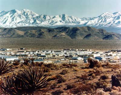
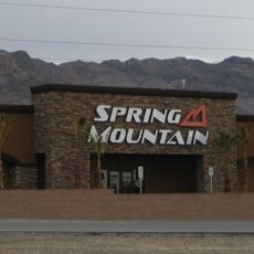
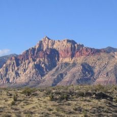
Mercury, Military settlement in Nye County, Nevada.

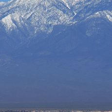
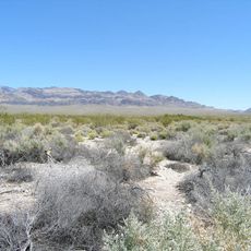
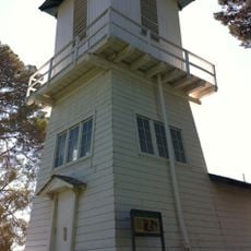
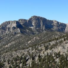
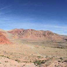
Mercury is a settlement in Nye County, Nevada, located near U.S. Route 95 in the desert. The site contains multiple buildings with housing, offices, and technical facilities for people working at the Nevada National Security Site.

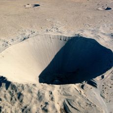
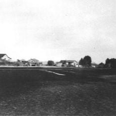
The settlement was established in 1950 under the name Base Camp Mercury to support activities at the Nevada Test Site. Over the following decades, the place expanded and served as a permanent base for workers in different programs.

Mercury functioned as a contained settlement where scientists, military personnel, and support staff formed a specialized research and testing community.

Access is controlled by the Department of Energy and restricted to authorized personnel only. Visitors without proper clearance cannot enter the site.

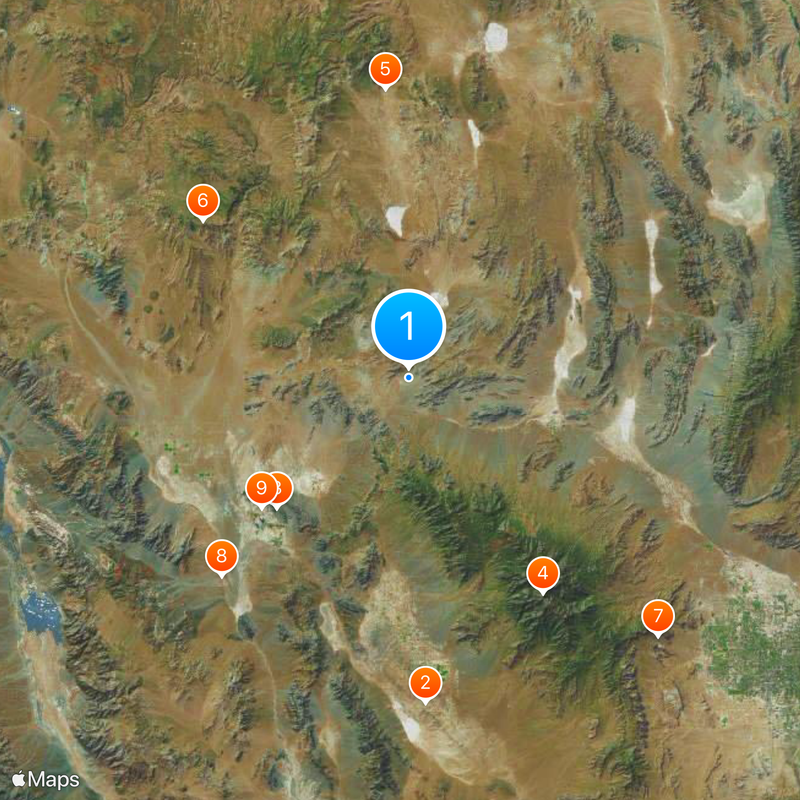
The Desert Rock Airport was built in 1962 and received President John F. Kennedy during his visit to inspect the testing facilities. The small airfield also served as an arrival point for other high-ranking guests during that period.

The community of curious travelers

AroundUs brings together thousands of curated places, local tips, and hidden gems, enriched daily by 60,000 contributors worldwide.

Start exploring
Location
Inception
1950
GPS coordinates
36.65917,-115.99639
Latest update
December 13, 2025 16:59
Around this place
Chicken Ranch
United States of America

Chicken Ranch

65.3 km
Devils Hole
United States of America

Devils Hole

37 km
Charleston Peak
United States of America

Charleston Peak

50.8 km
Sedan Crater
United States of America

Sedan Crater

57.8 km
Yucca Mountain
United States of America

Yucca Mountain

51.6 km
Red Rock Canyon National Conservation Area
United States of America

Red Rock Canyon National Conservation Area

71.9 km
Amargosa Opera House and Hotel
United States of America

Amargosa Opera House and Hotel

54.6 km
Ash Meadows National Wildlife Refuge
United States of America

Ash Meadows National Wildlife Refuge

38.4 km
Tule Springs Fossil Beds National Monument
United States of America

Tule Springs Fossil Beds National Monument

63.7 km
Angel's Ladies
United States of America

Angel's Ladies

73.1 km
Spring Mountain Motorsports Ranch
United States of America

Spring Mountain Motorsports Ranch

54.8 km
Desert National Wildlife Range
United States of America

Desert National Wildlife Range

51.7 km
Mount Charleston Wilderness
United States of America

Mount Charleston Wilderness

49.7 km
Mummy Mountain
United States of America

Mummy Mountain

50.7 km
United States of America

Carpenter Canyon

56.4 km
Tule Springs Ranch
United States of America

Tule Springs Ranch

75.3 km
Bridge Mountain
United States of America

Bridge Mountain

73.8 km
Griffith Peak
United States of America

Griffith Peak

56.9 km
United States of America

Las Vegas Indian Colony

68 km
Harris Mountain
United States of America

Harris Mountain

57.9 km
McFarland Peak
United States of America

McFarland Peak

42.9 km
T&T Ranch
United States of America

T&T Ranch

48.9 km
Beatty Museum & Historical Society
United States of America

Beatty Museum & Historical Society

73.5 km
Calico Basin
United States of America

Calico Basin

77 km
Beatty Museum
United States of America

Beatty Museum

73.5 km
Juniper Canyon
United States of America

Juniper Canyon

75.9 km
Pine Creek Canyon
United States of America

Pine Creek Canyon

75.3 km
Icebox Canyon
United States of America

Icebox Canyon

72.9 km
Show the full map
Reviews
Share your experience

No review yet

Discussions
Start a discussion...

No discussion yet

« Mercury - Military settlement in Nye County, Nevada » is provided by Around Us (aroundus.com). Images and texts are derived from Wikimedia project under a Creative Commons license. You are allowed to copy, distribute, and modify copies of this page, under the conditions set by the license, as long as this note is clearly visible.

Discover hidden gems everywhere you go!

From secret cafés to breathtaking viewpoints, skip the crowded tourist spots and find places that match your style. Our app makes it easy with voice search, smart filtering, route optimization, and insider tips from travelers worldwide. Download now for the complete mobile experience.

Around Us App Screenshot

A unique approach to discovering new places

Le Figaro

All the places worth exploring

France Info

A tailor-made excursion in just a few clicks

20 Minutes

Around Us
Travel Guide & Maps
Download

Send to your phone

QR Code
1

Open the camera app on your mobile.

2

Point at the QR code with your camera. A notification will appear.

3

Tap the notification to open the link.