Chest opened
+${chestReward.xp} XP
Explorer
NOUVEAU ×${chestReward.collectible.quantity}
tapez pour fermer
Chest locked

Open chests in the app

Around Us is built for your phone — chests unlock when you walk, explore and capture nearby places.

Enable Location

We need your location to show you interesting places around you

Discover nearby places

Find interesting locations and hidden gems around you

Precise directions

Get accurate directions and distances to places

Your location is never shared with other users. It's only used when you tap the location button.

U.S. Route 163

Log in to your account

Start exploring — it's free

Trusted by 72,891 travelers worldwide

Continue with Google
Continue with Apple
or

We will send you a code to connect

By continuing, you accept our Terms and Conditions and our Privacy Policy

Check your inbox

We've sent a pincode in your inbox. Please enter the code below.

U.S. Route 163
Discussion Reviews 1 Photos
18.2k Popularity

U.S. Route 163, United States Numbered Highway in Navajo County, Arizona and San Juan County, Utah in the United States

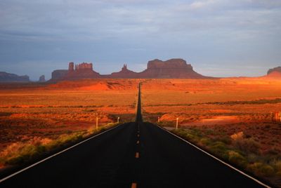
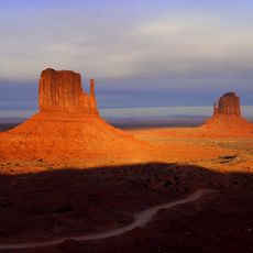
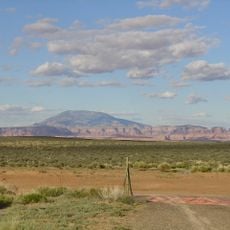
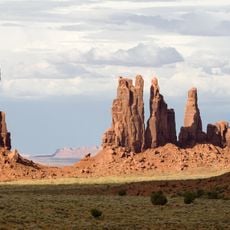
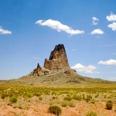
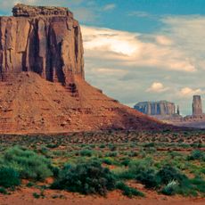
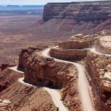
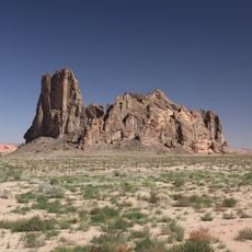
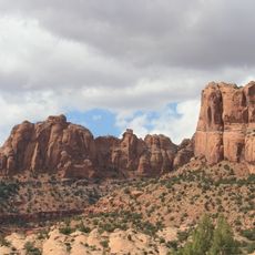
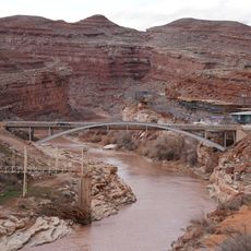
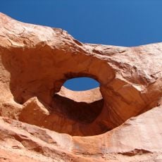
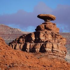
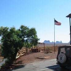
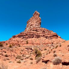
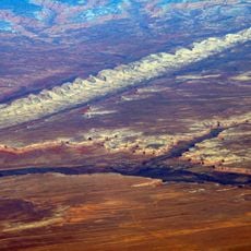
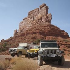
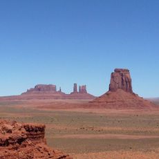
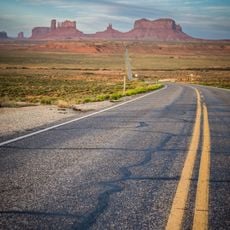
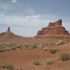
U.S. Route 163 is a two-lane road that stretches about 66 miles from Kayenta in Arizona toward Bluff in Utah. It passes through Monument Valley with its red rock formations and crosses open desert landscape with minimal settlements along the way.

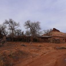
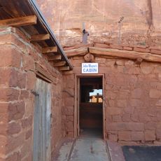
The route was established in 1970 and passes through lands long used by Navajo peoples and early settlers. Today it serves as an important connection between communities in this sparsely populated part of the Southwest.

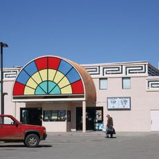
The Navajo Nation has a strong presence along this route, and travelers can see traditional crafts and cultural sites in small shops and museums. These spaces show the history and skills of the Navajo people who have lived in this region for generations.

Drive this route during cooler months, as summer temperatures can exceed 100 degrees Fahrenheit (38 degrees Celsius). Carry water, wear suitable clothing, and watch for photographers who may stop suddenly on the road.

This route is known as Forrest Gump Road because scenes from the film were shot here showing the main character running across the country. It also served as a filming location for other well-known Western and adventure movies like Easy Rider.

The community of curious travelers

AroundUs brings together thousands of curated places, local tips, and hidden gems, enriched daily by 60,000 contributors worldwide.

Start exploring
Location
Location
Inception
1970
GPS coordinates
36.85105,-110.27126
Latest update
February 17, 2026 00:01
Reviews
Share your experience

No review yet

Discussions
Start a discussion...

No discussion yet

« U.S. Route 163 - United States Numbered Highway in Navajo County, Arizona and San Juan County, Utah in the United States » is provided by Around Us (aroundus.com). Images and texts are derived from Wikimedia project under a Creative Commons license. You are allowed to copy, distribute, and modify copies of this page, under the conditions set by the license, as long as this note is clearly visible.

Discover hidden gems everywhere you go!

From secret cafés to breathtaking viewpoints, skip the crowded tourist spots and find places that match your style. Our app makes it easy with voice search, smart filtering, route optimization, and insider tips from travelers worldwide. Download now for the complete mobile experience.

Around Us App Screenshot

A unique approach to discovering new places

Le Figaro

All the places worth exploring

France Info

A tailor-made excursion in just a few clicks

20 Minutes

Around Us
Travel Guide & Maps
Download

Send to your phone

QR Code
1

Open the camera app on your mobile.

2

Point at the QR code with your camera. A notification will appear.

3

Tap the notification to open the link.