U.S. Route 160, U.S. Numbered Highway in the United States
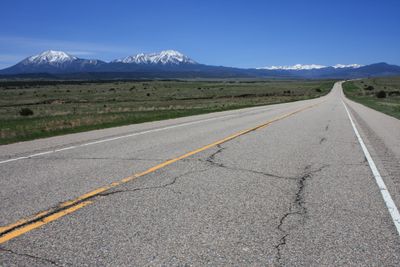
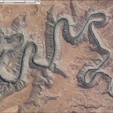
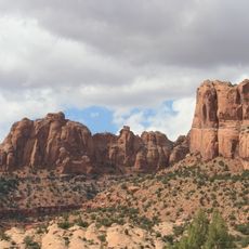
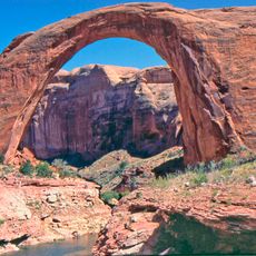
U.S. Route 160 is a road stretching across Arizona, New Mexico, Colorado, Kansas, and Missouri for about 1,465 miles (2,358 kilometers). It is mostly a two-lane highway that connects small towns and rural communities while passing through varied landscapes from open plains through mountains to canyons.
U.S. Route 160 was established in 1930 as a continuous highway connection and was originally known as Navajo Route 1 before gaining its current designation in 1970. Built through Navajo territory, it fundamentally changed how the region's communities connect and continue to link traditional settlements to this day.
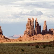
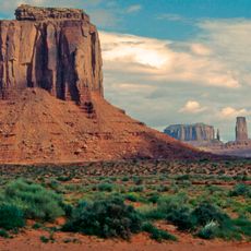
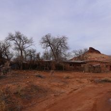
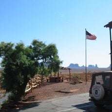
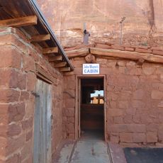
U.S. Route 160 passes through areas with deep cultural roots, especially in Arizona and New Mexico, where it links Navajo communities and serves as a vital connector for small towns whose identity centers on simple architecture and traditional ways of life. The road itself has become woven into how local people move between places and maintain connections to their land and neighbors.
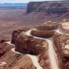
The road runs mainly through rural areas with few services, so travelers should fuel up and stock supplies before long stretches, especially in Arizona and New Mexico. Mountain passes like Wolf Creek Pass in Colorado can be difficult in winter, while flatter sections in Kansas and Missouri remain accessible year-round.
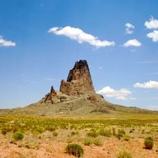
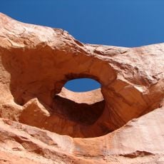
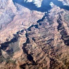
One of the most remarkable natural features along the route is the Elephant's Feet formation, two layered stone formations beside the highway in Arizona that travelers often overlook. This geological landmark offers a glimpse into the ancient layers of the landscape, telling the story of the place over millions of years.
The community of curious travelers
AroundUs brings together thousands of curated places, local tips, and hidden gems, enriched daily by 60,000 contributors worldwide.