十里亭镇, gemeente in Zhenjiang, Volksrepubliek China
Location: Zhenjiang District
GPS coordinates: 24.83213,113.55438
Latest update: March 25, 2025 11:52
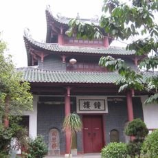
Nanhua Temple
21.8 km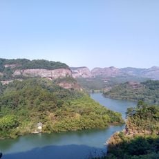
Mount Danxia
28.7 km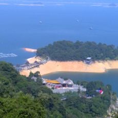
Xinfengjiang Reservoir
155.1 km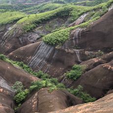
Gaoyi Ridge
131.9 km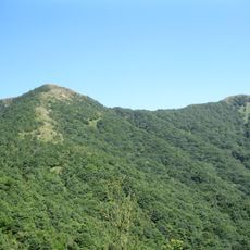
Tiantang Peak
133.7 km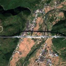
Chishi Bridge
86.3 km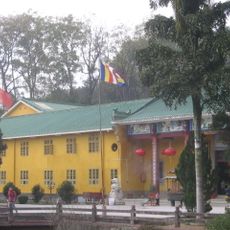
Yunmen Temple
24.9 km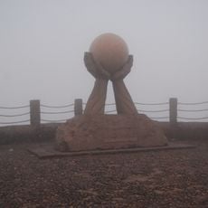
Shikengkong
57.9 km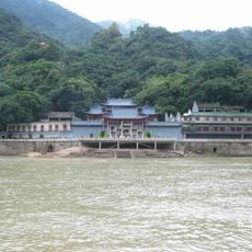
Feilai Temple (Qingyuan)
131 km
广东北江中学
3.7 km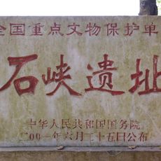
Shixia Site
17.7 km
Sanying Pagoda
82.5 km
Guifeng Pagoda
168.9 km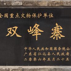
Shuangfeng Zhai
27.8 km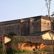
Yanyiwei
110.8 km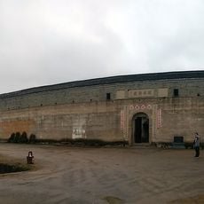
Guanxi New Fort
140 km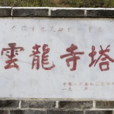
Pagoda of Yunlong Temple
30.2 km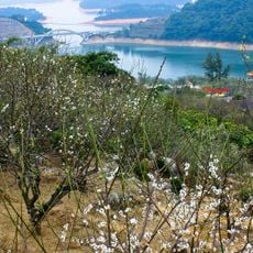
流溪河国家森林公园
122.6 km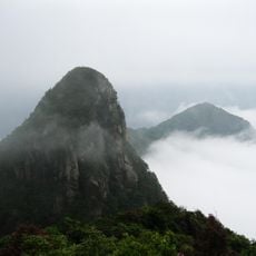
Jizhen Mountain
123.8 km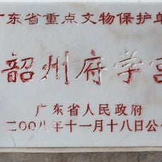
Shaozhou Confucian Temple
4.6 km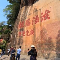
Inscriptions on precipices of Mount Danxia
28.2 km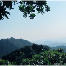
王子山森林公园
145.3 km
Gaoting
153.4 km
长湖水库
77.9 km
Tanling Shuiku
92.8 km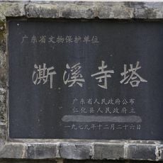
Pagoda of Sixi Temple
32.1 km
Pagoda of Jiayou Temple
103.3 km
Wenfeng Pagoda
34 kmReviews
Visited this place? Tap the stars to rate it and share your experience / photos with the community! Try now! You can cancel it anytime.
Discover hidden gems everywhere you go!
From secret cafés to breathtaking viewpoints, skip the crowded tourist spots and find places that match your style. Our app makes it easy with voice search, smart filtering, route optimization, and insider tips from travelers worldwide. Download now for the complete mobile experience.

A unique approach to discovering new places❞
— Le Figaro
All the places worth exploring❞
— France Info
A tailor-made excursion in just a few clicks❞
— 20 Minutes