Chest opened
+${chestReward.xp} XP
Explorer
NOUVEAU ×${chestReward.collectible.quantity}
tapez pour fermer
Chest locked

Open chests in the app

Around Us is built for your phone — chests unlock when you walk, explore and capture nearby places.

Enable Location

We need your location to show you interesting places around you

Discover nearby places

Find interesting locations and hidden gems around you

Precise directions

Get accurate directions and distances to places

Your location is never shared with other users. It's only used when you tap the location button.

Eagle Nest

Log in to your account

Start exploring — it's free

Trusted by 72,874 travelers worldwide

Continue with Google
Continue with Apple
or

We will send you a code to connect

By continuing, you accept our Terms and Conditions and our Privacy Policy

Check your inbox

We've sent a pincode in your inbox. Please enter the code below.

Discussion Reviews 2 Photos
19.4k Popularity

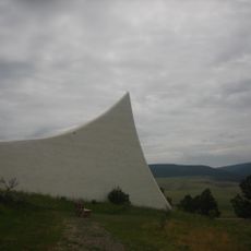
Eagle Nest, village in Colfax County, New Mexico, United States

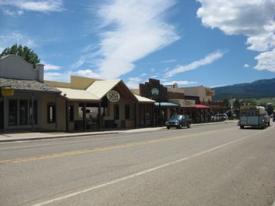
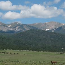
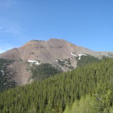
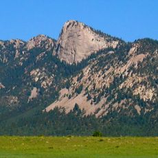
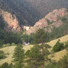
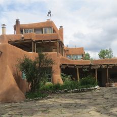
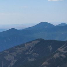
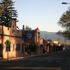
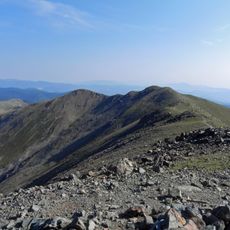
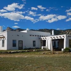
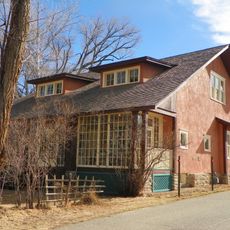
Eagle Nest is a small village in northern New Mexico, sitting at around 8,200 feet (2,500 m) elevation in the Moreno Valley, right beside Eagle Nest Lake. It is made up of wood and stone buildings surrounded by forested hills and open meadows.

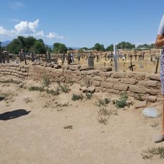
The village was originally called Therma, after hot springs found in the area, before being renamed in the 1930s. Over the decades it grew from a remote stop for farmers and hunters into a known destination for outdoor activities.

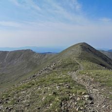
The name Eagle Nest comes from the eagles that regularly circle above the lake and surrounding peaks, and spotting one is still common today. Life here follows the slow rhythm of mountain seasons, shaped by fishing, hunting, and long winters that keep the community close-knit.

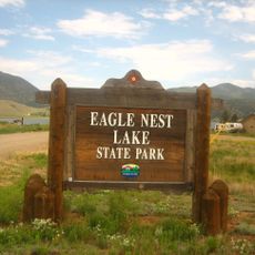
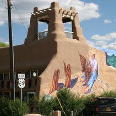
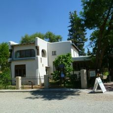
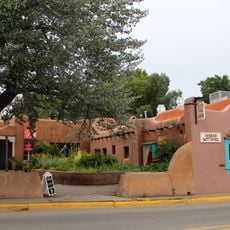
The village sits along the Enchanted Circle Route and is easy to reach by car, with small cafes and shops in the center. Eagle Nest Lake State Park nearby has campgrounds, walking trails, and a visitor center where you can get information before heading out.

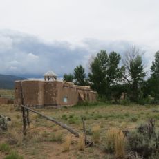
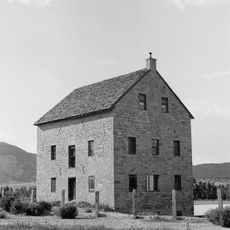
Although the area is known today mostly for fishing and nature, the Moreno Valley around it has a history of gold exploration that left traces still visible in the landscape. Some old mine workings can be spotted on the hillsides if you know where to look.

The community of curious travelers

AroundUs brings together thousands of curated places, local tips, and hidden gems, enriched daily by 60,000 contributors worldwide.

Start exploring
Location
Elevation above the sea
2,511 m
GPS coordinates
36.55194,-105.26111
Latest update
March 3, 2026 08:22
Around this place
Wheeler Peak
United States of America

Wheeler Peak

13.9 km
Baldy Mountain
United States of America

Baldy Mountain

9.7 km
St. James Hotel
United States of America

St. James Hotel

30.9 km
D. H. Lawrence Ranch
United States of America

D. H. Lawrence Ranch

29.9 km
Tooth of Time
United States of America

Tooth of Time

25.4 km
Cimarron Canyon State Park
United States of America

Cimarron Canyon State Park

7.9 km
Eagle Nest Lake State Park
United States of America

Eagle Nest Lake State Park

2.3 km
Mabel Dodge Luhan House
United States of America

Mabel Dodge Luhan House

31.5 km
Taos Downtown Historic District
United States of America

Taos Downtown Historic District

32.2 km
Mount Phillips
United States of America

Mount Phillips

12.4 km
Villa Philmonte
United States of America

Villa Philmonte

29.8 km
Eagle Nest Dam
United States of America

Eagle Nest Dam

3.7 km
Taos Inn
United States of America

Taos Inn

32.1 km
Nicolai Fechin House
United States of America

Nicolai Fechin House

31.8 km
Wheeler Peak Wilderness
United States of America

Wheeler Peak Wilderness

15 km
La Morada de Nuestra Senora de Guadalupe
United States of America

La Morada de Nuestra Senora de Guadalupe

31.5 km
Vietnam Veterans Memorial State Park
United States of America

Vietnam Veterans Memorial State Park

12.7 km
Taos Art Museum
United States of America

Taos Art Museum

31.8 km
Governor Charles Bent House
United States of America

Governor Charles Bent House

32.1 km
Eanger Irving Couse House and Studio—Joseph Henry Sharp Studios
United States of America

Eanger Irving Couse House and Studio—Joseph Henry Sharp Studios

32.2 km
Mount Walter
United States of America

Mount Walter

13.8 km
Taos Pueblo
United States of America

Taos Pueblo

28.6 km
Casa del Gavilan
United States of America

Casa del Gavilan

28.5 km
Cimarron Historic District
United States of America

Cimarron Historic District

30.8 km
Bernard J. Beimer House
United States of America

Bernard J. Beimer House

31.6 km
Hernández-Manby House
United States of America

Hernández-Manby House

32.1 km
National Scouting Museum
United States of America

National Scouting Museum

29.6 km
Villa Philmonte
United States of America

Villa Philmonte

29.7 km
Show the full map
Reviews
Share your experience

No review yet

Discussions
Start a discussion...

No discussion yet

« Eagle Nest - village in Colfax County, New Mexico, United States » is provided by Around Us (aroundus.com). Images and texts are derived from Wikimedia project under a Creative Commons license. You are allowed to copy, distribute, and modify copies of this page, under the conditions set by the license, as long as this note is clearly visible.

Discover hidden gems everywhere you go!

From secret cafés to breathtaking viewpoints, skip the crowded tourist spots and find places that match your style. Our app makes it easy with voice search, smart filtering, route optimization, and insider tips from travelers worldwide. Download now for the complete mobile experience.

Around Us App Screenshot

A unique approach to discovering new places

Le Figaro

All the places worth exploring

France Info

A tailor-made excursion in just a few clicks

20 Minutes

Around Us
Travel Guide & Maps
Download

Send to your phone

QR Code
1

Open the camera app on your mobile.

2

Point at the QR code with your camera. A notification will appear.

3

Tap the notification to open the link.