
Tetilla Peak, summit in Taos and Colfax Counties, New Mexico, United States
Location: Taos County
Location: Colfax County
GPS coordinates: 36.72364,-105.31223
Latest update: March 31, 2025 08:57
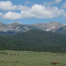
Wheeler Peak
20.8 km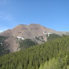
Baldy Mountain
13.7 km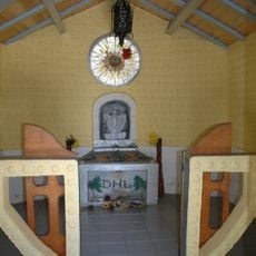
D. H. Lawrence Ranch
29.7 km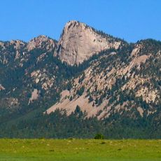
Tooth of Time
41 km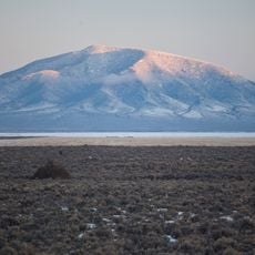
Rio Grande del Norte National Monument
37.5 km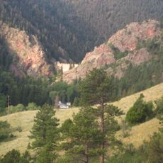
Cimarron Canyon State Park
24 km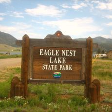
Eagle Nest Lake State Park
21.9 km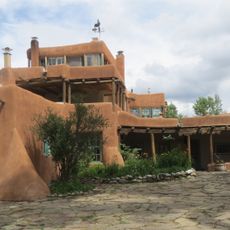
Mabel Dodge Luhan House
41.7 km
Taos Downtown Historic District
42.2 km
Kit Carson House
42.2 km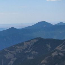
Mount Phillips
30.7 km
John Dunn Bridge
41.2 km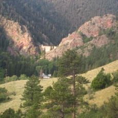
Eagle Nest Dam
22.6 km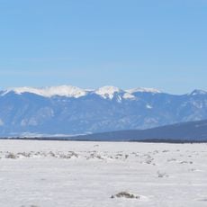
Latir Peak Wilderness
17.2 km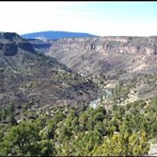
Wild Rivers Recreation Area
32.6 km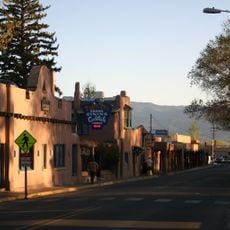
Taos Inn
42.1 km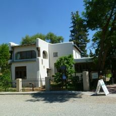
Nicolai Fechin House
41.8 km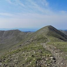
Wheeler Peak Wilderness
18.5 km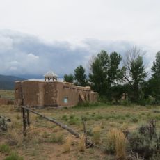
La Morada de Nuestra Senora de Guadalupe
41.8 km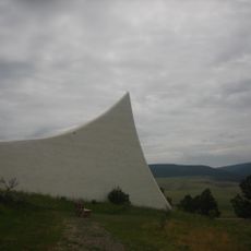
Vietnam Veterans Memorial State Park
31.5 km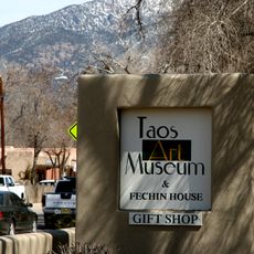
Taos Art Museum
41.8 km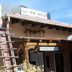
Governor Charles Bent House
42.1 km
Eanger Irving Couse House and Studio—Joseph Henry Sharp Studios
42.3 km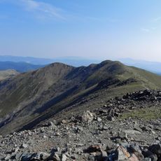
Mount Walter
20.3 km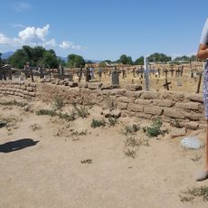
Taos Pueblo
38.1 km
Bernard J. Beimer House
41.3 km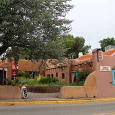
Hernández-Manby House
42.1 km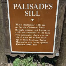
Palisades Sill
25.2 kmReviews
Visited this place? Tap the stars to rate it and share your experience / photos with the community! Try now! You can cancel it anytime.
Discover hidden gems everywhere you go!
From secret cafés to breathtaking viewpoints, skip the crowded tourist spots and find places that match your style. Our app makes it easy with voice search, smart filtering, route optimization, and insider tips from travelers worldwide. Download now for the complete mobile experience.

A unique approach to discovering new places❞
— Le Figaro
All the places worth exploring❞
— France Info
A tailor-made excursion in just a few clicks❞
— 20 Minutes