Enable Location

We need your location to show you interesting places around you

Discover nearby places

Find interesting locations and hidden gems around you

Precise directions

Get accurate directions and distances to places

Your location is never shared with other users. It's only used when you tap the location button.

Taos County

Log in to your account

Start exploring — it's free

Trusted by 61,510 travelers worldwide

Continue with Google
Continue with Apple
or

We will send you a code to connect

By continuing, you accept our Terms and Conditions and our Privacy Policy

Check your inbox

We've sent a pincode in your inbox. Please enter the code below.

Taos County, Administrative division in New Mexico, US.

Description

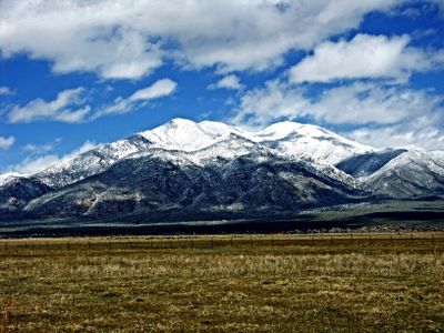
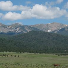
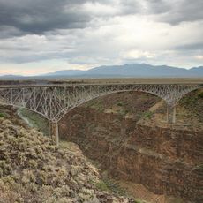
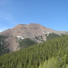
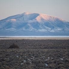
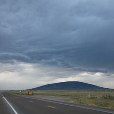
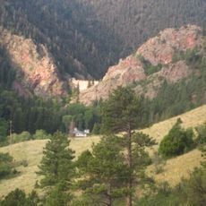
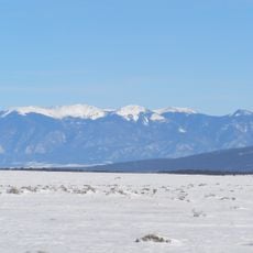
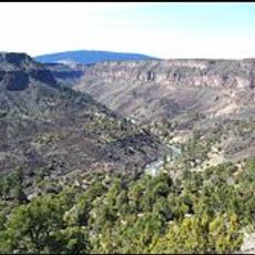
Taos County spans north-central New Mexico and encompasses mountainous terrain, valleys, and high desert landscapes within the Sangre de Cristo mountain range. The region combines distinct topographic zones and is dotted with multiple communities and settlement patterns.

History

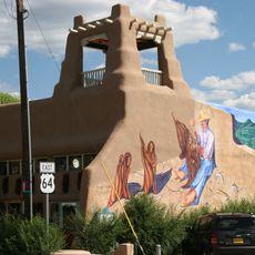
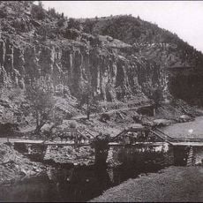
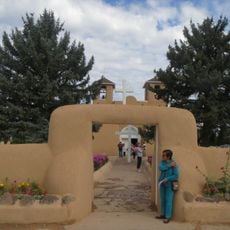
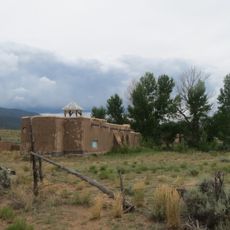
The region was settled by Spanish colonists in the 1600s and was originally home to various pueblos. It underwent periods of Spanish rule, Mexican control, and eventually became part of the United States following the Mexican-American War.

Culture

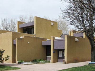
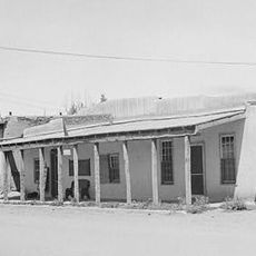
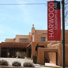
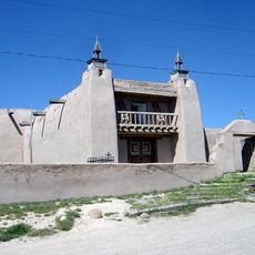
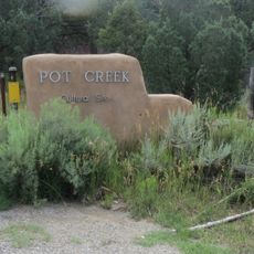
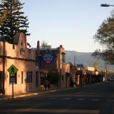
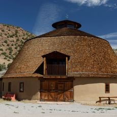
The county is home to several Native American pueblos, Spanish colonial settlements, and art communities that each reflect different chapters of southwestern cultural development.

Practical

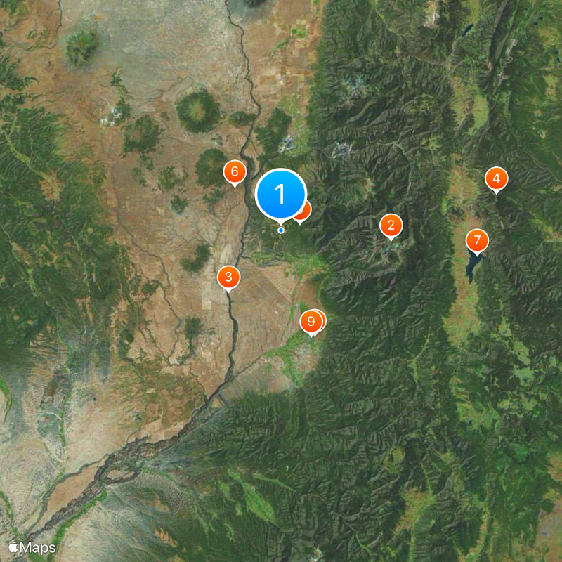
The county administration offers various services for residents, including property information and government access through digital systems. Visitors can find local offices in several communities to assist with questions about routes and public services.

Did you know?

The county features extreme elevation differences, ranging from desert lowlands to alpine peaks, creating multiple distinct ecosystems within a relatively compact area. This geographic diversity produces vastly different climates and plant communities in close proximity.

Location
Inception
January 9, 1852
Capital city
Taos
Shares border with
Rio Arriba County, Mora County, Colfax County, Costilla County, Conejos County
GPS coordinates
36.57000,-105.63000
Latest update
December 20, 2025 13:22

AroundUs brings together thousands of curated places, local tips, and hidden gems, enriched daily by 60,000 contributors worldwide. Discover all places nearby (New Mexico).

Around this place
Wheeler Peak
United States of America

Wheeler Peak

19.1 km
Rio Grande Gorge Bridge
United States of America

Rio Grande Gorge Bridge

13.9 km
Baldy Mountain
United States of America

Baldy Mountain

37.8 km
D. H. Lawrence Ranch
United States of America

D. H. Lawrence Ranch

3.5 km
Rio Grande del Norte National Monument
United States of America

Rio Grande del Norte National Monument

11.2 km
Eagle Nest Lake State Park
United States of America

Eagle Nest Lake State Park

34.2 km
Mabel Dodge Luhan House
United States of America

Mabel Dodge Luhan House

18.9 km
Taos Downtown Historic District
United States of America

Taos Downtown Historic District

18.9 km
United States of America

Millicent Rogers Museum

14.4 km
Ojo Caliente Mineral Springs Resort & Spa
United States of America

Ojo Caliente Mineral Springs Resort & Spa

47.2 km
Kit Carson House
United States of America

Kit Carson House

18.9 km
San Antonio Mountain
United States of America

San Antonio Mountain

47.4 km
United States of America

Manby Hot Springs

10.9 km
Martinez Hacienda
United States of America

Martinez Hacienda

19 km
Harwood Museum of Art
United States of America

Harwood Museum of Art

18.9 km
John Dunn Bridge
United States of America

John Dunn Bridge

8.1 km
San José de Gracia Church
United States of America

San José de Gracia Church

50.2 km
Eagle Nest Dam
United States of America

Eagle Nest Dam

36.1 km
Pot Creek Cultural Site
United States of America

Pot Creek Cultural Site

32.7 km
Latir Peak Wilderness
United States of America

Latir Peak Wilderness

28.6 km
Wild Rivers Recreation Area
United States of America

Wild Rivers Recreation Area

12.8 km
Taos Inn
United States of America

Taos Inn

18.7 km
Nicolai Fechin House
United States of America

Nicolai Fechin House

18.6 km
Ojo Caliente Hot Springs Round Barn
United States of America

Ojo Caliente Hot Springs Round Barn

47.2 km
Ranchos de Taos Plaza
United States of America

Ranchos de Taos Plaza

23.6 km
Wheeler Peak Wilderness
United States of America

Wheeler Peak Wilderness

18.5 km
La Morada de Nuestra Senora de Guadalupe
United States of America

La Morada de Nuestra Senora de Guadalupe

19.2 km
United States of America

Black Rock Hot Springs

8.5 km
Show the full map
Administrative divisions
« Taos County - Administrative division in New Mexico, US » is provided by Around Us (aroundus.com). Images and texts are derived from Wikimedia project under a Creative Commons license. You are allowed to copy, distribute, and modify copies of this page, under the conditions set by the license, as long as this note is clearly visible.

Discover hidden gems everywhere you go!

From secret cafés to breathtaking viewpoints, skip the crowded tourist spots and find places that match your style. Our app makes it easy with voice search, smart filtering, route optimization, and insider tips from travelers worldwide. Download now for the complete mobile experience.

Around Us App Screenshot

A unique approach to discovering new places

Le Figaro

All the places worth exploring

France Info

A tailor-made excursion in just a few clicks

20 Minutes

Around Us
Travel Guide & Maps
Download

Send to your phone

QR Code
1

Open the camera app on your mobile.

2

Point at the QR code with your camera. A notification will appear.

3

Tap the notification to open the link.