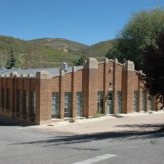
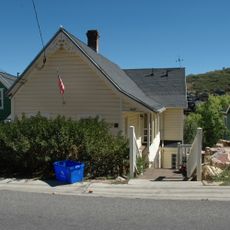
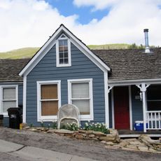
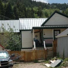
Alta, town in Salt Lake County, Utah, United States
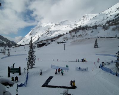
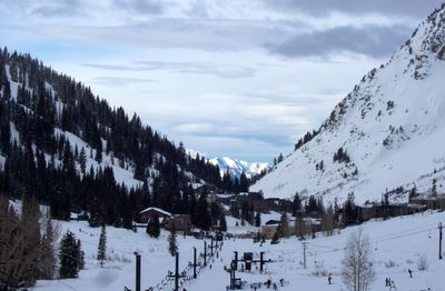
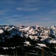
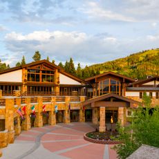
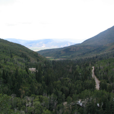
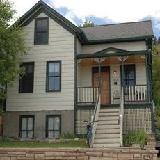
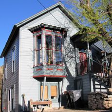
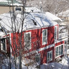
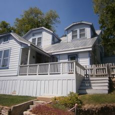
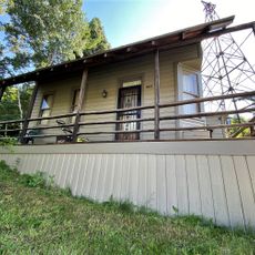
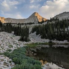
Alta is a small mountain town in Salt Lake County, Utah, nestled between 7,500 and 9,500 feet above sea level in a narrow canyon. The community is surrounded by steep cliffs, pine forests, and granite rocks, with cozy lodges, small shops, and restaurants spread across the valley floor.
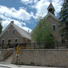
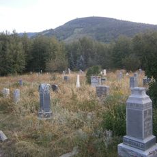
Silver was first found in 1865, and the town grew rapidly with hundreds of residents and buildings by 1872. After silver deposits ran out and natural disasters like fires and avalanches damaged the settlement, the town nearly disappeared by the late 1800s, until it reinvented itself as a ski destination when the first ski lift opened in 1938 using parts from old mining equipment.
The town's name comes from a Latin word meaning high, fitting for this mountain location. Today, the community shows a strong connection to mountain living, where people value outdoor activities and respect for the natural landscape as core parts of daily life.
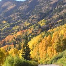
Skiing is best from November to May when natural snowfall is abundant, while summer offers over 170 wildflower species and hiking trails to explore. The town is about an hour's drive from Salt Lake City, and once you arrive you will not need a car since shuttle services connect the lodges and the slopes.
The ski area uses only natural snowfall and does not operate snow machines, making it dependent on weather and giving skiing an authentic feel that sets it apart from most modern resorts. This choice reflects a commitment to preserving the mountain experience as it has been practiced for decades.
The community of curious travelers
AroundUs brings together thousands of curated places, local tips, and hidden gems, enriched daily by 60,000 contributors worldwide.