Chest opened
+${chestReward.xp} XP
Explorer
NOUVEAU ×${chestReward.collectible.quantity}
tapez pour fermer

See the monuments around you in AR Open chests in the app

Around Us is built for your phone — point your camera at the streets and discover the monuments and places around you in augmented reality. Around Us is built for your phone — chests unlock when you walk, explore and capture nearby places.

•

Enable Location

We need your location to show you interesting places around you

Discover nearby places

Find interesting locations and hidden gems around you

Precise directions

Get accurate directions and distances to places

Your location is never shared with other users. It's only used when you tap the location button.

Malheur Lake

Log in to your account

Start exploring — it's free

Trusted by 94,586 travelers worldwide

Continue with Google
Continue with Apple
or

We will send you a code to connect

By continuing, you accept our Terms and Conditions and our Privacy Policy

Check your inbox

We've sent a pincode in your inbox. Please enter the code below.

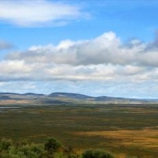
Malheur Lake, Lake in Harney County, Oregon, United States

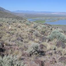
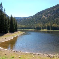
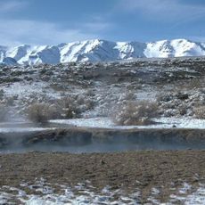
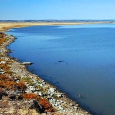
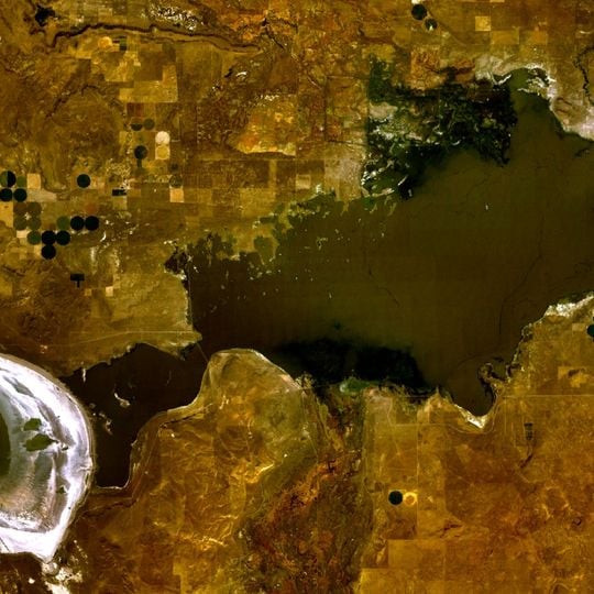
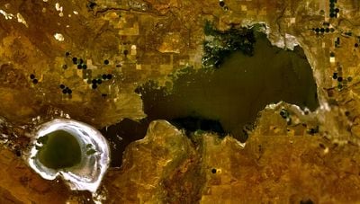
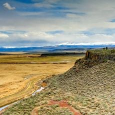
Malheur Lake is a large, shallow lake in Harney County, Oregon, within the Malheur National Wildlife Refuge. It sits at an elevation of about 4,100 feet (1,250 meters) and its size changes with the seasons, from a broad sheet of water to exposed mudflats.

The lake formed in a closed basin and has long been a stopping point for migratory birds. In the early 20th century, it was included in the Malheur National Wildlife Refuge, established to protect waterfowl and other wildlife.

The lake is central to the identity of the Malheur National Wildlife Refuge, and its name comes from the French word for misfortune, given by early trappers. Today, visitors come to watch birds and to learn about the lake's role in the refuge at the visitor center.

The lake is best reached by car via unpaved roads that can become muddy after rain, so check conditions before setting out. There are few facilities, and the best views are from the auto tour route or observation points along the refuge.

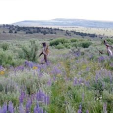
The lake's water level can rise and fall dramatically, sometimes flooding nearby fields and sometimes leaving the lakebed dry. This cycle creates a changing landscape that supports different plants and animals each year.

The community of curious travelers

AroundUs brings together thousands of curated places, local tips, and hidden gems, enriched daily by 94,586 contributors worldwide.
Start exploring
Location
Elevation above the sea
1,248 m
GPS coordinates
43.33278,-118.79306
Latest update
November 10, 2026 13:55
Around this place
Malheur National Wildlife Refuge
United States of America

Malheur National Wildlife Refuge

19.4 mi
Harney Basin
United States of America

Harney Basin

6.7 mi
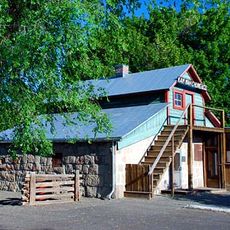
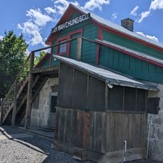
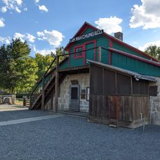
Kam Wah Chung Company Building
United States of America

Kam Wah Chung Company Building

75.6 mi
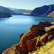
Owyhee Reservoir
United States of America

Owyhee Reservoir

73.7 mi
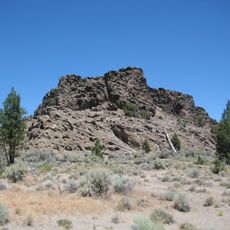
Lost Forest Research Natural Area
United States of America

Lost Forest Research Natural Area

77.3 mi
Hart Mountain National Antelope Refuge
United States of America

Hart Mountain National Antelope Refuge

69.6 mi
Steens Mountain Wilderness
United States of America

Steens Mountain Wilderness

46.1 mi
Strawberry Mountain Wilderness
United States of America

Strawberry Mountain Wilderness

67.1 mi
Pete French Round Barn
United States of America

Pete French Round Barn

15.8 mi
Mickey Hot Springs
United States of America

Mickey Hot Springs

50.7 mi
Sod House Ranch
United States of America

Sod House Ranch

6.7 mi
Frenchglen Hotel State Heritage Site
United States of America

Frenchglen Hotel State Heritage Site

35.5 mi
P Ranch
United States of America

P Ranch

35.3 mi
Monument Rock Wilderness
United States of America

Monument Rock Wilderness

71.9 mi
Riddle Ranch
United States of America

Riddle Ranch

20.9 mi
Clyde Holliday State Recreation Site
United States of America

Clyde Holliday State Recreation Site

76.4 mi
Double-O Ranch Historic District
United States of America

Double-O Ranch Historic District

26.3 mi
Chickahominy Reservoir
United States of America

Chickahominy Reservoir

43.8 mi
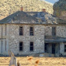
Moses and Mary Hart Stone House and Ranch Complex
United States of America

Moses and Mary Hart Stone House and Ranch Complex

69.9 mi
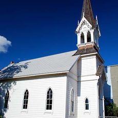
Advent Christian Church
United States of America

Advent Christian Church

75.4 mi
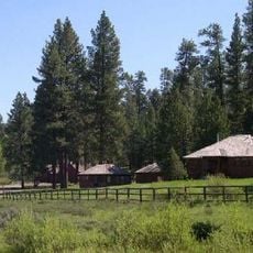
Allison Ranger Station
United States of America

Allison Ranger Station

57 mi
St. Thomas' Episcopal Church
United States of America

St. Thomas' Episcopal Church

73.2 mi
Sheep Ranch Fortified House
United States of America

Sheep Ranch Fortified House

69.1 mi
Supervisor's House No. 1001
United States of America

Supervisor's House No. 1001

75.3 mi
John Day Compound
United States of America

John Day Compound

75.5 mi
Kam Wah Chung State Heritage Site
United States of America

Kam Wah Chung State Heritage Site

75.6 mi
Kam Wah Chung Chinese Heritage Site
United States of America

Kam Wah Chung Chinese Heritage Site

75.5 mi
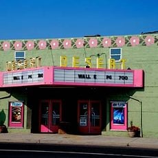
Desert Theatre
United States of America

Desert Theatre

21.9 mi
Show the full map
Reviews
Share your experience

No review yet

Discussions
Start a discussion...

No discussion yet

« Malheur Lake - Lake in Harney County, Oregon, United States » is provided by Around Us (aroundus.com). Images and texts are derived from Wikimedia project under a Creative Commons license. You are allowed to copy, distribute, and modify copies of this page, under the conditions set by the license, as long as this note is clearly visible.

Discover hidden gems everywhere you go!

From secret cafés to breathtaking viewpoints, skip the crowded tourist spots and find places that match your style. Our app makes it easy with voice search, smart filtering, route optimization, and insider tips from travelers worldwide. Download now for the complete mobile experience.
Around Us App Screenshot
❝

A unique approach to discovering new places❞

— Le Figaro

❝

All the places worth exploring❞

— France Info

❝

A tailor-made excursion in just a few clicks❞

— 20 Minutes

Around Us
Travel Guide & Maps
Download

Send to your phone

QR Code
1

Open the camera app on your mobile.

2

Point at the QR code with your camera. A notification will appear.

3

Tap the notification to open the link.