Chest opened
+${chestReward.xp} XP
Explorer
NOUVEAU ×${chestReward.collectible.quantity}
tapez pour fermer

See the monuments around you in AR Open chests in the app

Around Us is built for your phone — point your camera at the streets and discover the monuments and places around you in augmented reality. Around Us is built for your phone — chests unlock when you walk, explore and capture nearby places.

Enable Location

We need your location to show you interesting places around you

Discover nearby places

Find interesting locations and hidden gems around you

Precise directions

Get accurate directions and distances to places

Your location is never shared with other users. It's only used when you tap the location button.

Benton City – Kiona Bridge

Log in to your account

Start exploring — it's free

Trusted by 85,432 travelers worldwide

Continue with Google
Continue with Apple
or

We will send you a code to connect

By continuing, you accept our Terms and Conditions and our Privacy Policy

Check your inbox

We've sent a pincode in your inbox. Please enter the code below.

Benton City – Kiona Bridge
Discussion Reviews 1 Photos
1.5k Popularity

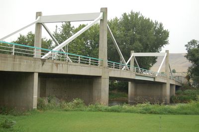
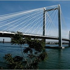
Benton City – Kiona Bridge, Road bridge in Benton City, Washington.

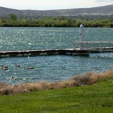
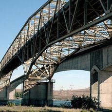
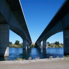
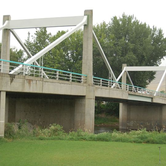
The Benton City-Kiona Bridge is a steel box girder bridge with cable-stayed design that crosses the Yakima River. It carries two lanes of Washington State Route 225 and features raised sidewalks on both sides of the roadway.

The bridge opened in 1957 and replaced two earlier structures that had connected the two towns since 1901. The previous crossing stood further downstream on the Yakima River.

The Washington Heritage Register included this structure in 2002, recognizing its engineering design as the first steel box girder bridge in the United States.

The bridge has sidewalks on both sides that are clearly separated from traffic and easy to walk. You can reach it conveniently from Interstate 82 and U.S. Route 12.

The design came from engineer Homer M. Hadley and was a groundbreaking example of bridge engineering at the time. This early use of steel box girders made it a notable milestone in American infrastructure development.

The community of curious travelers

AroundUs brings together thousands of curated places, local tips, and hidden gems, enriched daily by 60,000 contributors worldwide.
Start exploring
Location
GPS coordinates
46.25290,-119.47500
Latest update
August 30, 2026 18:44
Around this place
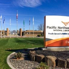
Pacific Northwest National Laboratory
United States of America

Pacific Northwest National Laboratory

11.4 mi
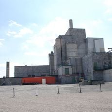
B Reactor
United States of America

B Reactor

27.4 mi
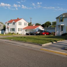
Gold Coast Historic District
United States of America

Gold Coast Historic District

10.3 mi
McNary Dam
United States of America

McNary Dam

23.5 mi
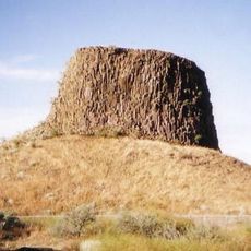
Rattlesnake Mountain
United States of America

Rattlesnake Mountain

12.5 mi
Cable Bridge
United States of America

Cable Bridge

17.9 mi
Blue Bridge
United States of America

Blue Bridge

16.3 mi
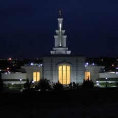
Columbia River Washington Temple
United States of America

Columbia River Washington Temple

9.7 mi
Sacajawea State Park
United States of America

Sacajawea State Park

21.1 mi
Bateman Island
United States of America

Bateman Island

11.9 mi
Hat Rock State Park
United States of America

Hat Rock State Park

27.7 mi
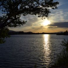
Lake Wallula
United States of America

Lake Wallula

23.5 mi
Umatilla Bridge
United States of America

Umatilla Bridge

23.7 mi
Clover Island
United States of America

Clover Island

17.6 mi
Umatilla National Wildlife Refuge
United States of America

Umatilla National Wildlife Refuge

25.2 mi
Interstate 182 Bridge
United States of America

Interstate 182 Bridge

11 mi
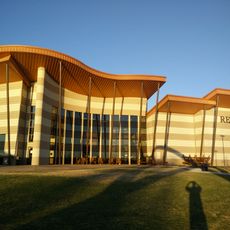
REACH Museum
United States of America

REACH Museum

12.4 mi
United States of America

Badger Mountain Centennial Preserve

7.6 mi
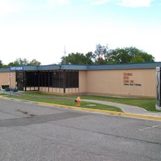
Columbia River Exhibition of History, Science, and Technology
United States of America

Columbia River Exhibition of History, Science, and Technology

9.8 mi
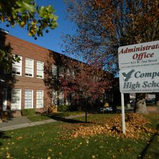
Compass High School
United States of America

Compass High School

21 mi
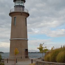
Clover Island Light
United States of America

Clover Island Light

17.6 mi
J. W. Carey House
United States of America

J. W. Carey House

15.6 mi
Franklin County Courthouse
United States of America

Franklin County Courthouse

18.2 mi
2800 Polar Way
United States of America

2800 Polar Way

10 mi
USS Triton Submarine
United States of America

USS Triton Submarine

11.8 mi
West Richland Golf Course
United States of America

West Richland Golf Course

7.5 mi
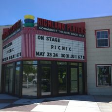
Richland Theater
United States of America

Richland Theater

9.7 mi
Keewaydin Park
United States of America

Keewaydin Park

17.3 mi
Show the full map
Reviews
Share your experience

No review yet

Discussions
Start a discussion...

No discussion yet

« Benton City – Kiona Bridge - Road bridge in Benton City, Washington » is provided by Around Us (aroundus.com). Images and texts are derived from Wikimedia project under a Creative Commons license. You are allowed to copy, distribute, and modify copies of this page, under the conditions set by the license, as long as this note is clearly visible.

Discover hidden gems everywhere you go!

From secret cafés to breathtaking viewpoints, skip the crowded tourist spots and find places that match your style. Our app makes it easy with voice search, smart filtering, route optimization, and insider tips from travelers worldwide. Download now for the complete mobile experience.
Around Us App Screenshot

A unique approach to discovering new places

Le Figaro

All the places worth exploring

France Info

A tailor-made excursion in just a few clicks

20 Minutes

Around Us
Travel Guide & Maps
Download

Send to your phone

QR Code
1

Open the camera app on your mobile.

2

Point at the QR code with your camera. A notification will appear.

3

Tap the notification to open the link.