
Rattlesnake Slope Wildlife Area
Rattlesnake Slope Wildlife Area, wildlife area in Benton County, Washington, United States
Location: Washington
Location: Benton County
Elevation above the sea: 137 m
Website: https://wdfw.wa.gov/places-to-go/wildlife-areas/rattlesnake-slope-wildlife-area-unit
Operator: Washington Department of Fish and Wildlife
Website: https://wdfw.wa.gov/places-to-go/wildlife-areas/rattlesnake-slope-wildlife-area-unit
GPS coordinates: 46.35972,-119.51778
Latest update: March 13, 2025 08:54

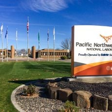
Pacific Northwest National Laboratory
18.6 km
B Reactor
31.7 km
Gold Coast Historic District
20.2 km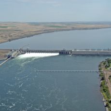
McNary Dam
50.2 km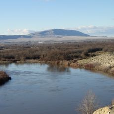
Rattlesnake Mountain
8.9 km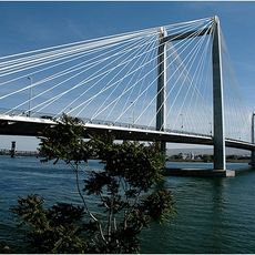
Cable Bridge
35.5 km
Priest Rapids Dam
43.5 km
Blue Bridge
33 km
Columbia River Washington Temple
23.8 km
Sacajawea State Park
40.8 km
Bateman Island
25.8 km
Lake Wallula
50.1 km
Clover Island
35.1 km
Interstate 182 Bridge
23.5 km
Vernita Bridge
35.5 km
REACH Museum
26.9 km
Benton City – Kiona Bridge
12.3 km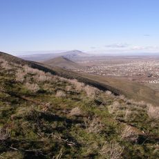
Badger Mountain Centennial Preserve
20.7 km
Columbia River Exhibition of History, Science, and Technology
21.2 km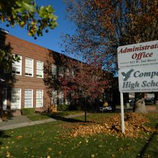
Compass High School
32.7 km
Clover Island Light
35.1 km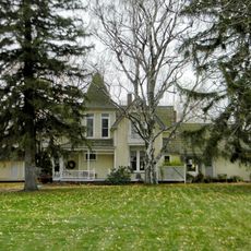
J. W. Carey House
27.7 km
Franklin County Courthouse
35.2 km
2800 Polar Way
16.6 km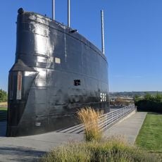
USS Triton Submarine
19.1 km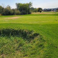
West Richland Golf Course
15.3 km
Richland Theater
21 km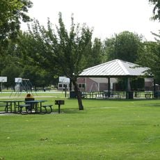
Keewaydin Park
35.1 kmReviews
Visited this place? Tap the stars to rate it and share your experience / photos with the community! Try now! You can cancel it anytime.
Discover hidden gems everywhere you go!
From secret cafés to breathtaking viewpoints, skip the crowded tourist spots and find places that match your style. Our app makes it easy with voice search, smart filtering, route optimization, and insider tips from travelers worldwide. Download now for the complete mobile experience.

A unique approach to discovering new places❞
— Le Figaro
All the places worth exploring❞
— France Info
A tailor-made excursion in just a few clicks❞
— 20 Minutes