Benton County

Log in to your account

AroundUs is a community-driven map of interesting places, built by curious explorers like you. It grows with every review, story, and photo you share.
Connect to save your favorite spots, contribute locations, and create personalized routes.
By continuing, you accept our Terms and Conditions and our Privacy Policy
Add to collection
Map
Suggest a change
Share

Benton County, Administrative county in south-central Washington, US.

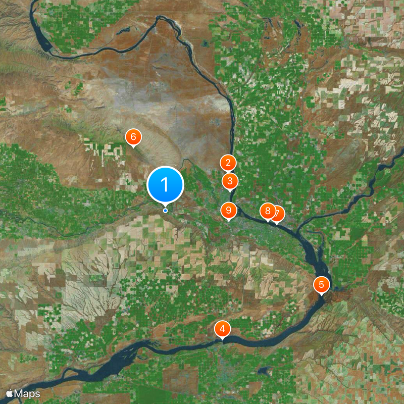
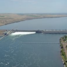
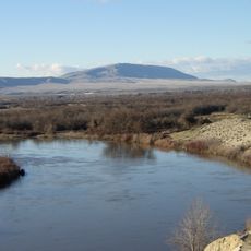
Benton County is a large area in south-central Washington that the Columbia River flows through. Its landscape includes valleys, hills, and a mix of farmland, forests, and towns where people live and work.

The county was formed in 1905 from parts of neighboring counties and took its name from a 19th-century American statesman. This region became important for farming and later for industrial development.

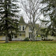
The area developed around farming and early settlement, with local museums displaying artifacts that tell the story of how people built communities here. These collections show how agriculture shaped the way the county grew over generations.

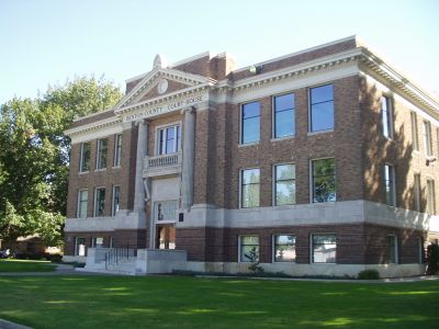
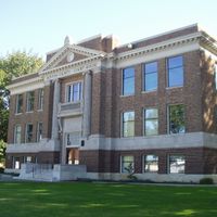
The best way to explore this area is by car since distances are large and roads vary. The main government center is located in Prosser, which serves as a central point for accessing different parts of the county.

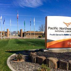
Within the county sits a site linked to nuclear research and development that offers educational tours to visitors. This location reveals an important but often overlooked chapter of the region's industrial past.

Location: Washington

Inception: 1905

Capital city: Prosser

Shares border with: Grant County, Franklin County, Walla Walla County, Umatilla County, Morrow County, Klickitat County, Yakima County

Website: https://co.benton.wa.us

GPS coordinates: 46.25000,-119.50000

Latest update: December 12, 2025 19:59

Photos
Around this place
Pacific Northwest National Laboratory
United States of America

Pacific Northwest National Laboratory

20.1 km
Gold Coast Historic District
United States of America

Gold Coast Historic District

18.5 km
McNary Dam
United States of America

McNary Dam

38.3 km
Wallula Gap
United States of America

Wallula Gap

48.4 km
Rattlesnake Mountain
United States of America

Rattlesnake Mountain

19.4 km
Cable Bridge
United States of America

Cable Bridge

30.7 km
Blue Bridge
United States of America

Blue Bridge

28.2 km
Columbia River Washington Temple
United States of America

Columbia River Washington Temple

17.5 km
Sacajawea State Park
United States of America

Sacajawea State Park

35.8 km
Bateman Island
United States of America

Bateman Island

21.1 km
Hat Rock State Park
United States of America

Hat Rock State Park

45.4 km
Lake Wallula
United States of America

Lake Wallula

38.2 km
Umatilla Bridge
United States of America

Umatilla Bridge

38.4 km
Clover Island
United States of America

Clover Island

30.2 km
Umatilla National Wildlife Refuge
United States of America

Umatilla National Wildlife Refuge

39.7 km
United States of America

McNary National Wildlife Refuge

42.4 km
Cold Springs National Wildlife Refuge
United States of America

Cold Springs National Wildlife Refuge

50.8 km
Interstate 182 Bridge
United States of America

Interstate 182 Bridge

19.6 km
United States of America

Arid Lands Ecology Reserve

49.7 km
Vernita Bridge
United States of America

Vernita Bridge

47.2 km
REACH Museum
United States of America

REACH Museum

21.9 km
Benton City – Kiona Bridge
United States of America

Benton City – Kiona Bridge

2 km
United States of America

Duportail Bridge

15 km
United States of America

Badger Mountain Centennial Preserve

14.1 km
Columbia River Exhibition of History, Science, and Technology
United States of America

Columbia River Exhibition of History, Science, and Technology

17.7 km
United States of America

Mid-Columbia River National Wildlife Refuge Complex

39.4 km
Clover Island Light
United States of America

Clover Island Light

30.2 km
J. W. Carey House
United States of America

J. W. Carey House

23.2 km
Show the full map
Reviews

Visited this place? Tap the stars to rate it and share your experience / photos with the community! Try now! You can cancel it anytime.

Administrative divisions
« Benton County - Administrative county in south-central Washington, US » is provided by Around Us (aroundus.com). Images and texts are derived from Wikimedia project under a Creative Commons license. You are allowed to copy, distribute, and modify copies of this page, under the conditions set by the license, as long as this note is clearly visible.

Discover hidden gems everywhere you go!

From secret cafés to breathtaking viewpoints, skip the crowded tourist spots and find places that match your style. Our app makes it easy with voice search, smart filtering, route optimization, and insider tips from travelers worldwide. Download now for the complete mobile experience.

Around Us App Screenshot

A unique approach to discovering new places

Le Figaro

All the places worth exploring

France Info

A tailor-made excursion in just a few clicks

20 Minutes