Chest opened
+${chestReward.xp} XP
Explorer
NOUVEAU ×${chestReward.collectible.quantity}
tapez pour fermer
Chest locked

Open chests in the app

Around Us is built for your phone — chests unlock when you walk, explore and capture nearby places.

Enable Location

We need your location to show you interesting places around you

Discover nearby places

Find interesting locations and hidden gems around you

Precise directions

Get accurate directions and distances to places

Your location is never shared with other users. It's only used when you tap the location button.

Grande Ronde Valley

Log in to your account

Start exploring — it's free

Trusted by 73,000 travelers worldwide

Continue with Google
Continue with Apple
or

We will send you a code to connect

By continuing, you accept our Terms and Conditions and our Privacy Policy

Check your inbox

We've sent a pincode in your inbox. Please enter the code below.

Grande Ronde Valley
Discussion Reviews 1 Photos
4.9k Popularity

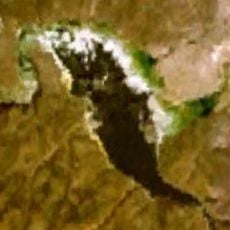
Grande Ronde Valley, Basin in Union County, Oregon, United States.

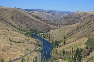
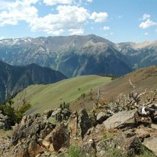
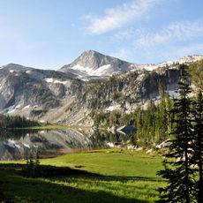
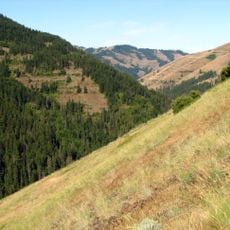
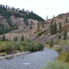
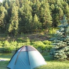
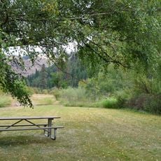
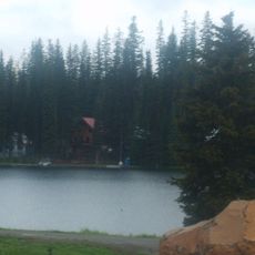
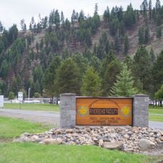
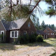
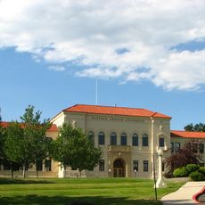
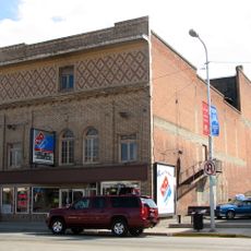
Grande Ronde Valley is a broad, flat-floored basin in northeastern Oregon, enclosed on all sides by the Blue Mountains to the west and north and the Wallowa Mountains to the east. The valley floor is covered mostly by farmland and small towns, with La Grande being the largest community in the area.

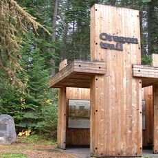
For a long time, the valley was a central hunting and gathering area for several Native groups, including the Nez Perce and the Cayuse, who relied on its resources across generations. In the 19th century, it became a key stopping point along the Oregon Trail, where thousands of westward-bound settlers passed through.

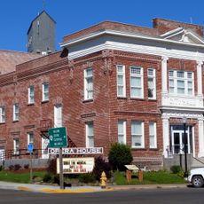
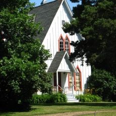
The valley is closely tied to wheat farming and cattle ranching, and these two activities shape much of what you see when you drive through it. La Grande, the main town in the valley, holds local markets and seasonal events where these farming roots are easy to notice.

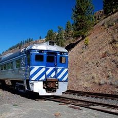
The valley is easy to reach via Interstate 84, and Oregon Routes 82 and 237 connect it to the surrounding mountain areas. Having your own vehicle is strongly recommended, as distances between towns are long and public transport options are very limited.

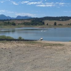
Although the valley is known today as productive farmland, its floor was originally shaped by massive basalt lava flows that covered the region roughly 9 million years ago. Rivers and lakes later deposited thick layers of sediment over that volcanic base, building up the deep, fertile soil that farmers rely on today.

The community of curious travelers

AroundUs brings together thousands of curated places, local tips, and hidden gems, enriched daily by 60,000 contributors worldwide.

Start exploring
Location
Elevation above the sea
822 m
GPS coordinates
45.36280,-117.95500
Latest update
March 3, 2026 08:15
Around this place
Wallowa Mountains
United States of America

Wallowa Mountains

53.1 km
Eagle Cap Wilderness
United States of America

Eagle Cap Wilderness

42.4 km
Emigrant Springs State Heritage Area
United States of America

Emigrant Springs State Heritage Area

44.4 km
North Fork Umatilla Wilderness
United States of America

North Fork Umatilla Wilderness

42.2 km
Jubilee Lake
United States of America

Jubilee Lake

52.2 km
Catherine Creek State Park
United States of America

Catherine Creek State Park

28.9 km
Wallowa Lake Highway Forest State Scenic Corridor
United States of America

Wallowa Lake Highway Forest State Scenic Corridor

35.8 km
Hilgard Junction State Recreation Area
United States of America

Hilgard Junction State Recreation Area

22.4 km
Red Bridge State Wayside
United States of America

Red Bridge State Wayside

30.7 km
Minam State Recreation Area
United States of America

Minam State Recreation Area

50.3 km
Eagle Cap Excursion Train
United States of America

Eagle Cap Excursion Train

22.9 km
Wallowa River Rest Area
United States of America

Wallowa River Rest Area

37.1 km
Cove Hot Springs Pool
United States of America

Cove Hot Springs Pool

13.7 km
Elgin Opera House
United States of America

Elgin Opera House

22.8 km
Thief Valley Reservoir
United States of America

Thief Valley Reservoir

39.5 km
Langdon Lake
United States of America

Langdon Lake

47.4 km
Abel E. Eaton House
United States of America

Abel E. Eaton House

18.2 km
RiverBend Alternative Education School
United States of America

RiverBend Alternative Education School

22.6 km
John Anthony House
United States of America

John Anthony House

11.6 km
Wallowa Ranger Station
United States of America

Wallowa Ranger Station

40.1 km
Ascension Episcopal Church
United States of America

Ascension Episcopal Church

13.3 km
Inlow Hall
United States of America

Inlow Hall

11.5 km
Wolf Creek Reservoir
United States of America

Wolf Creek Reservoir

34.5 km
Liberty Theater
United States of America

Liberty Theater

11.6 km
Flora School
United States of America

Flora School

51 km
Anthony–Buckley House
United States of America

Anthony–Buckley House

11.6 km
Hunter–Morelock House
United States of America

Hunter–Morelock House

40.7 km
U.S. Post Office and Federal Building
United States of America

U.S. Post Office and Federal Building

11.6 km
Show the full map
Reviews
Share your experience

No review yet

Discussions
Start a discussion...

No discussion yet

« Grande Ronde Valley - Basin in Union County, Oregon, United States » is provided by Around Us (aroundus.com). Images and texts are derived from Wikimedia project under a Creative Commons license. You are allowed to copy, distribute, and modify copies of this page, under the conditions set by the license, as long as this note is clearly visible.

Discover hidden gems everywhere you go!

From secret cafés to breathtaking viewpoints, skip the crowded tourist spots and find places that match your style. Our app makes it easy with voice search, smart filtering, route optimization, and insider tips from travelers worldwide. Download now for the complete mobile experience.

Around Us App Screenshot

A unique approach to discovering new places

Le Figaro

All the places worth exploring

France Info

A tailor-made excursion in just a few clicks

20 Minutes

Around Us
Travel Guide & Maps
Download

Send to your phone

QR Code
1

Open the camera app on your mobile.

2

Point at the QR code with your camera. A notification will appear.

3

Tap the notification to open the link.