Idaho panhandle, Northern region in Idaho, United States.
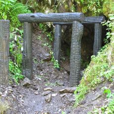
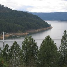
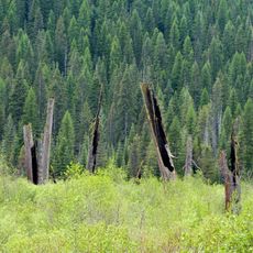
The Idaho Panhandle is a northern stretch within the state of Idaho, extending between Canada, Montana, and Washington. This narrow section covers ten administrative counties with dense conifer forests, mountain ridges, river valleys, and numerous lakes spread over roughly 54,000 square kilometers (21,000 square miles).
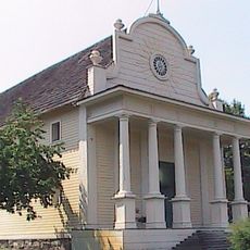
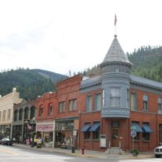
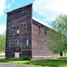
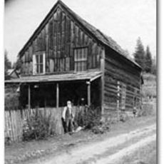
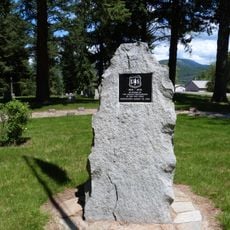
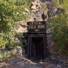
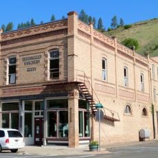
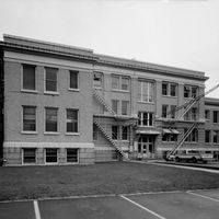
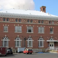
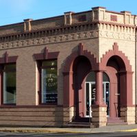
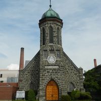
Settlers arrived in the 1860s, building sawmills and small villages along river routes and trading paths. The discovery of rich silver deposits in the 1880s brought thousands of miners and transformed remote camps into busy towns with railroad links.
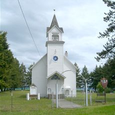
Indigenous communities maintain language programs and traditional crafts in several settlements scattered across the forested hills. Visitors can encounter seasonal gatherings and markets where baskets, blankets, and carved works from local materials appear on display.
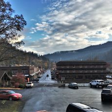
Most settlements sit along major highways that wind through valleys and occasionally climb steep grades with tight bends. Travelers should carry tire chains in winter and keep fuel tanks topped up, as gas stations can be far apart in some stretches.
The Salmon River forms a natural boundary between two time zones, so travelers must adjust their clocks when moving between northern and southern sections. This division sometimes creates confusion for appointments and events in communities near the line.
The community of curious travelers
AroundUs brings together thousands of curated places, local tips, and hidden gems, enriched daily by 60,000 contributors worldwide.