Lemhi County

Log in to your account

AroundUs is a community-driven map of interesting places, built by curious explorers like you. It grows with every review, story, and photo you share.
Connect to save your favorite spots, contribute locations, and create personalized routes.
By continuing, you accept our Terms and Conditions and our Privacy Policy
Add to collection
Map
Suggest a change
Share

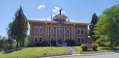
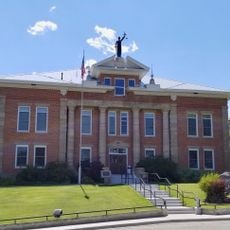
Lemhi County, Administrative division in Idaho, United States.

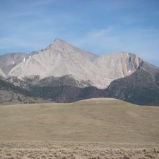
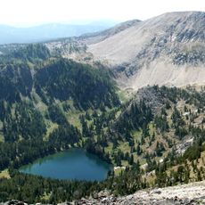
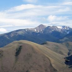
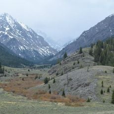
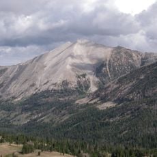
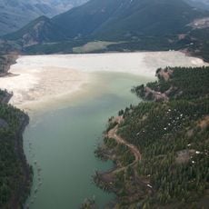
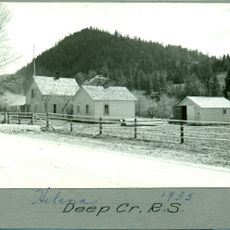
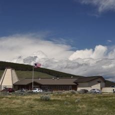
Lemhi County is an administrative division in eastern Idaho covering mountainous terrain crossed by the Salmon River. The landscape shifts from river valleys to steep ridges, creating a rugged terrain that defines the character of this region.

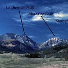
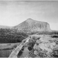
The region entered American exploration history when the Lewis and Clark Expedition crossed Lemhi Pass in 1805. This passage marked a turning point in the discovery and mapping of western territories.

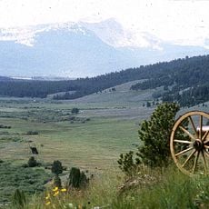
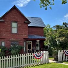
Local rodeos and the county fair reflect how ranching and farming remain woven into daily life and community gatherings. These events show how people here celebrate their connection to the land and livestock.

This is a sprawling mountain region, so allow extra time for travel and prepare for changing weather conditions. The warmer months offer the easiest access to higher elevations and remote areas.

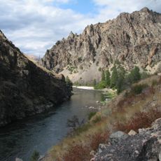
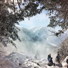
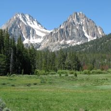
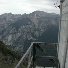
The Frank Church-River of No Return Wilderness offers visitors access to vast undeveloped forest and mountain areas that remain largely untouched. This protected area stands as one of the largest continuous wilderness zones in the lower United States.

GPS coordinates: 44.93219,-113.85300

Latest update: December 7, 2025 20:23

Photos
Around this place
Show the full map
Borah Peak
United States of America

Borah Peak

88.7 km
Frank Church–River of No Return Wilderness
United States of America

Frank Church–River of No Return Wilderness

87.9 km
Big Hole National Battlefield
United States of America

Big Hole National Battlefield

81.4 km
Goldbug Hot Springs
United States of America

Goldbug Hot Springs

6.7 km
Anaconda-Pintler Wilderness
United States of America

Anaconda-Pintler Wilderness

117.2 km
Beaverhead Rock
United States of America

Beaverhead Rock

120.5 km
Land of the Yankee Fork State Park
United States of America

Land of the Yankee Fork State Park

58.1 km
Birch Creek Charcoal Kilns
United States of America

Birch Creek Charcoal Kilns

87.4 km
Mackay Reservoir
United States of America

Mackay Reservoir

109.9 km
Jim McClure–Jerry Peak Wilderness
United States of America

Jim McClure–Jerry Peak Wilderness

108.2 km
Merriam Peak
United States of America

Merriam Peak

113.7 km
USGS Peak
United States of America

USGS Peak

104.6 km
Mount Breitenbach
United States of America

Mount Breitenbach

97.6 km
Donaldson Peak
United States of America

Donaldson Peak

97.4 km
D. O. Lee Peak
United States of America

D. O. Lee Peak

111 km
Bruno Creek Tailings Impoundment
United States of America

Bruno Creek Tailings Impoundment

85.8 km
Arctic Point Fire Lookout
United States of America

Arctic Point Fire Lookout

110.9 km
Watson Peak
United States of America

Watson Peak

111 km
Odd Fellows Hall
United States of America

Odd Fellows Hall

27.3 km
Lemhi County Courthouse
United States of America

Lemhi County Courthouse

27.8 km
Mackay Methodist Episcopal Church
United States of America

Mackay Methodist Episcopal Church

115.1 km
Deep Creek Ranger Station
United States of America

Deep Creek Ranger Station

109.4 km
Salmon City Hall and Library
United States of America

Salmon City Hall and Library

27.3 km
Martin Barrett House
United States of America

Martin Barrett House

100.3 km
Thomas Chivers House
United States of America

Thomas Chivers House

55.9 km
Boulder Point Lookout
United States of America

Boulder Point Lookout

106.4 km
Big Hole National Battlefield Visitor Center
United States of America

Big Hole National Battlefield Visitor Center

80.6 km
Beaverhead Rock State Park
United States of America

Beaverhead Rock State Park

120.5 km
Show the full map
Reviews

Visited this place? Tap the stars to rate it and share your experience / photos with the community! Try now! You can cancel it anytime.

« Lemhi County - Administrative division in Idaho, United States » is provided by Around Us (aroundus.com). Images and texts are derived from Wikimedia project under a Creative Commons license. You are allowed to copy, distribute, and modify copies of this page, under the conditions set by the license, as long as this note is clearly visible.

Discover hidden gems everywhere you go!

From secret cafés to breathtaking viewpoints, skip the crowded tourist spots and find places that match your style. Our app makes it easy with voice search, smart filtering, route optimization, and insider tips from travelers worldwide. Download now for the complete mobile experience.

Around Us App Screenshot

A unique approach to discovering new places

Le Figaro

All the places worth exploring

France Info

A tailor-made excursion in just a few clicks

20 Minutes