
Castle Rock Natural Area Preserve
Castle Rock Natural Area Preserve, natural area in Grant County, Washington state, United States of America
Location: Washington
Location: Grant County
Elevation above the sea: 612 m
Website: https://www.dnr.wa.gov/castle-rock-natural-area-preserve
Operator: Washington State Department of Natural Resources
Shares border with: Steamboat Rock State Park
Website: https://dnr.wa.gov/castle-rock-natural-area-preserve
GPS coordinates: 47.88640,-119.06970
Latest update: April 5, 2025 19:17
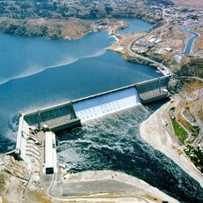
Grand Coulee Dam
10.2 km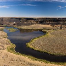
Dry Falls
37.8 km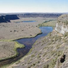
Grand Coulee
34.6 km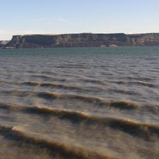
Banks Lake
9.6 km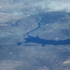
Franklin D. Roosevelt Lake
10.2 km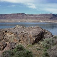
Steamboat Rock State Park
5.4 km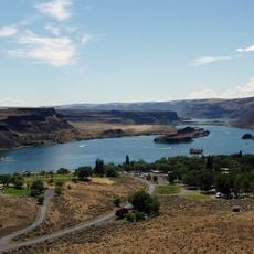
Sun Lakes-Dry Falls State Park
39 km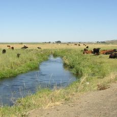
Crab Creek
66.8 km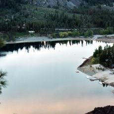
Alta Lake State Park
66.6 km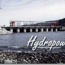
Wells Dam
59.8 km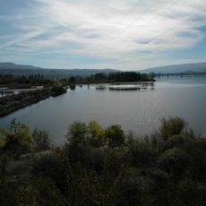
Fort Okanogan
53.9 km
Withrow Moraine and Jameson Lake Drumlin Field
47.1 km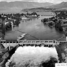
Lake Chelan Dam
70.6 km
Fort Spokane
57.1 km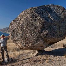
Omak Rock
44.7 km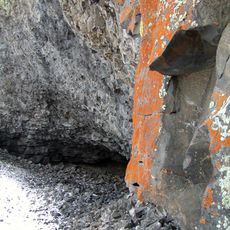
Lake Lenore Caves State Park
57.5 km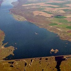
Dry Falls Dam
34.6 km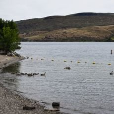
Bridgeport State Park
42.6 km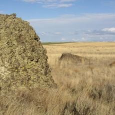
Sims Corner Eskers and Kames
23.2 km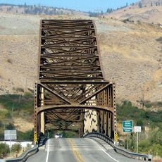
Beebe Bridge
68 km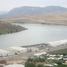
Lake Pateros
59.8 km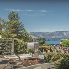
Slidewaters
72.3 km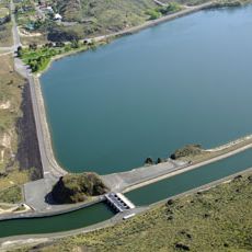
North Dam
7.2 km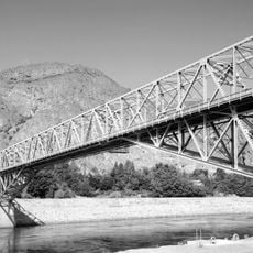
Grand Coulee Bridge
11 km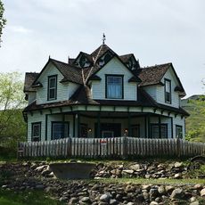
Gallaher House
47.1 km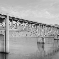
Columbia River Bridge
45.4 km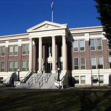
Grant County Courthouse
72.6 km
Omak Theater
67.8 kmReviews
Visited this place? Tap the stars to rate it and share your experience / photos with the community! Try now! You can cancel it anytime.
Discover hidden gems everywhere you go!
From secret cafés to breathtaking viewpoints, skip the crowded tourist spots and find places that match your style. Our app makes it easy with voice search, smart filtering, route optimization, and insider tips from travelers worldwide. Download now for the complete mobile experience.

A unique approach to discovering new places❞
— Le Figaro
All the places worth exploring❞
— France Info
A tailor-made excursion in just a few clicks❞
— 20 Minutes