Big Horn County, County administrative division in Montana, United States.
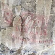
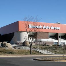
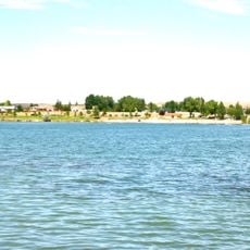
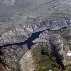
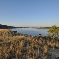
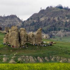
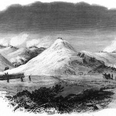
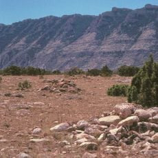
Big Horn County is an administrative division in Montana that encompasses diverse terrain across a large expanse. Mountain ridges, river systems, and open grasslands form the physical landscape throughout the county.
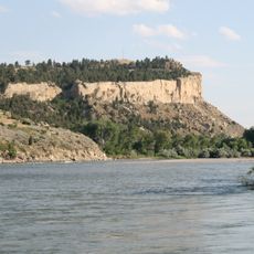
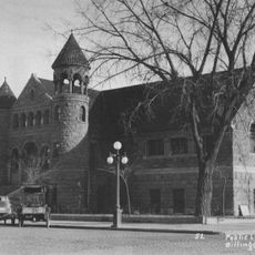
The county was established in 1913 as part of Montana's administrative reorganization, with Hardin selected as its county seat. This designation made it the governmental center for the region.
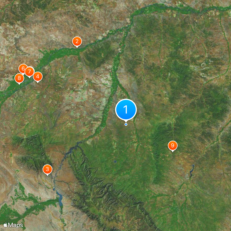
The area is home to portions of the Crow and Northern Cheyenne Nations, each maintaining distinct governmental systems and traditions that shape daily community life. Visitors can see how these nations continue to influence the character and values of the region.
Visitors can access county services and official information through the online portal maintained by local authorities. Planning a trip through the area requires preparation, as distances between communities can be significant.
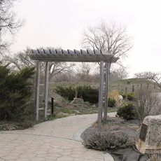
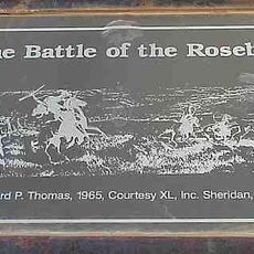
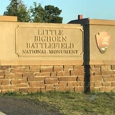
The Little Bighorn Battlefield, located within the county, draws visitors interested in understanding the events of 1876. The site offers a place to reflect on a complicated chapter of American history.
The community of curious travelers
AroundUs brings together thousands of curated places, local tips, and hidden gems, enriched daily by 60,000 contributors worldwide.