Dull Knife Battlefield, Military battlefield in Johnson County, Wyoming, United States.
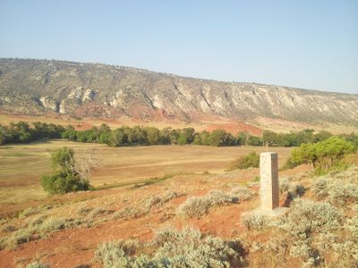
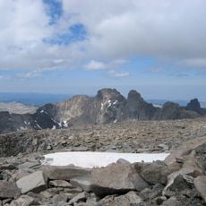
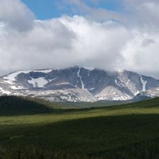
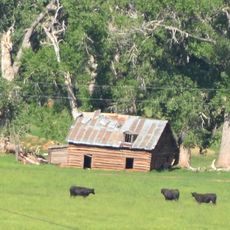
The Dull Knife Battlefield is located on the eastern slopes of the Bighorn Mountains in Johnson County, marking the site of a military confrontation between cavalry forces and a Native American winter encampment. The terrain includes both the former camp area and the surrounding ground where the engagement occurred.
A military raid took place in 1876 when cavalry units attacked the winter encampment without warning. This action marked a turning point in the conflict between military forces and the people sheltering in the mountains.
The Northern Cheyenne established winter camps in this mountain valley because it offered protection from harsh weather and distance from military patrols. Their settlement choices reflect how they read and used the landscape.
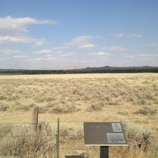
Access to the site requires permission from the private property owner since the battlefield is located on ranch land in the area. The nearest town of Kaycee serves as a reference point for visitors planning their visit.
The site was added to the National Register in 1979, preserving the memory of an event that forced people to flee and seek shelter elsewhere. This official recognition helped protect a largely overlooked chapter of regional history.
The community of curious travelers
AroundUs brings together thousands of curated places, local tips, and hidden gems, enriched daily by 60,000 contributors worldwide.