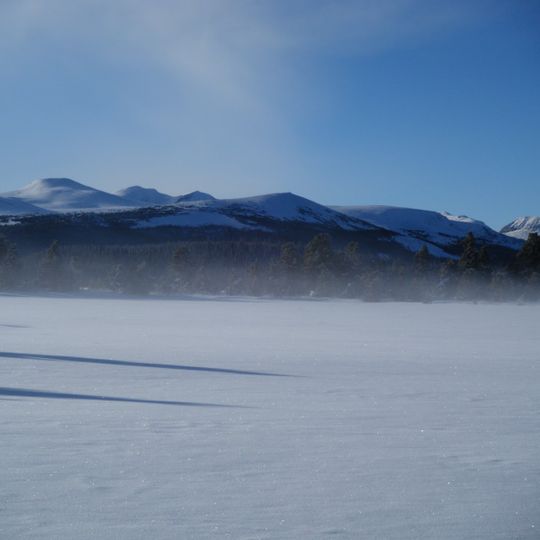
Itcha Mountain, Volcanic mountain in British Columbia, Canada
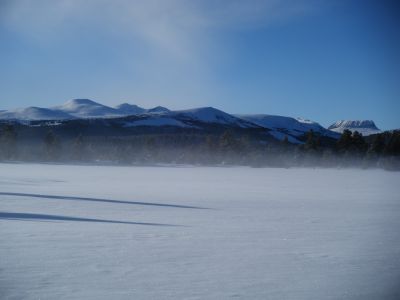
Itcha Mountain is a volcanic peak that rises 2,290 meters (7,500 feet) and forms part of the Itcha Range in British Columbia. It sits approximately 42 kilometers northeast of Anahim Lake within the boundaries of Itcha Ilgachuz Provincial Park.
The peak formed through volcanic activity within the Anahim Volcanic Belt as the North American Plate passed over a geological hotspot millions of years ago. This ancient volcanic process created the landforms that define this region today.
The mountain's Chilcotin name, ʔAchax Dẑelh, is recorded alongside the English name Itcha Mountain, which the peak gave to the surrounding Itcha Range. The range is one of several large shield volcanoes that stands by itself in the Chilcotin District. The peak lies within Itcha Ilgachuz Provincial Park, as does Mount Downton, 2 km to the southwest.
Itcha Mountain lies inside Itcha Ilgachuz Provincial Park, about 42 km northeast of Anahim Lake and 2 km northeast of Mount Downton. There are no roads or marked trails to the summit; access is by foot or horseback through remote backcountry. Snow and cold weather can persist outside the short summer window.
Itcha Mountain is one of the two named volcanic peaks of the Itcha Range, the range it gives its name to. The range is one of several large shield volcanoes that stand alone, and the Anahim Volcanic Belt that contains it also includes the nearby Rainbow and Ilgachuz Ranges. Far Mountain, the highest peak in Itcha Ilgachuz Provincial Park, lies in the same park.
The community of curious travelers
AroundUs brings together thousands of curated places, local tips, and hidden gems, enriched daily by 92,700 contributors worldwide.