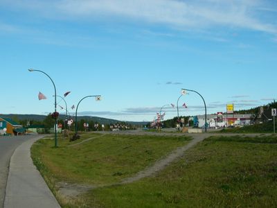
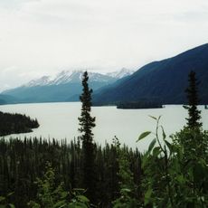
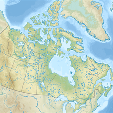
Watson Lake, town on the Alaska Highway in Yukon, Canada
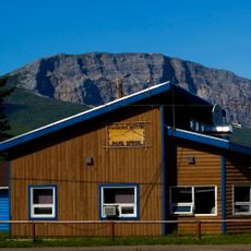
Watson Lake is a small town in Yukon located at the convergence of major travel routes. It serves as a supply and stopping point for travelers passing through the northern wilderness.
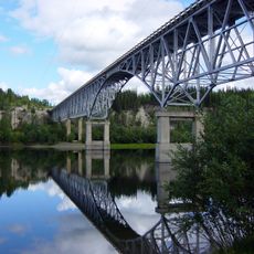
The settlement emerged in the 1940s as a supply depot during construction of the Alaska Highway. Its strategic location on this vital route shaped the town's development from that time forward.
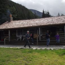
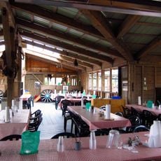
Watson Lake provides basic supplies including grocery stores, restaurants, and lodging for passing travelers. The town is relatively easy to explore on foot and offers necessary services for a brief stop.
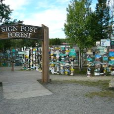
The Sign Post Forest is a popular roadside attraction featuring hundreds of signs and souvenirs left behind by visitors from around the world. This unusual collection has become a distinctive landmark of the place.
The community of curious travelers
AroundUs brings together thousands of curated places, local tips, and hidden gems, enriched daily by 60,000 contributors worldwide.