Chest opened
+${chestReward.xp} XP
Explorer
NOUVEAU ×${chestReward.collectible.quantity}
tapez pour fermer
Chest locked

Open chests in the app

Around Us is built for your phone — chests unlock when you walk, explore and capture nearby places.

Enable Location

We need your location to show you interesting places around you

Discover nearby places

Find interesting locations and hidden gems around you

Precise directions

Get accurate directions and distances to places

Your location is never shared with other users. It's only used when you tap the location button.

South Nahanni River

Log in to your account

Start exploring — it's free

Trusted by 72,938 travelers worldwide

Continue with Google
Continue with Apple
or

We will send you a code to connect

By continuing, you accept our Terms and Conditions and our Privacy Policy

Check your inbox

We've sent a pincode in your inbox. Please enter the code below.

South Nahanni River
Discussion Reviews 1 Photos
9.9k Popularity

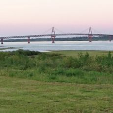
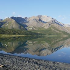
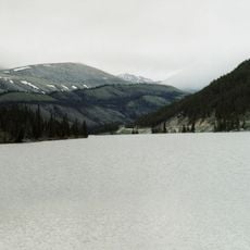
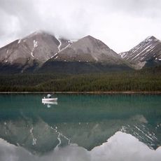
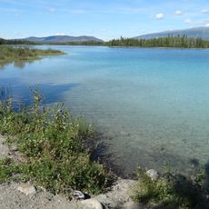
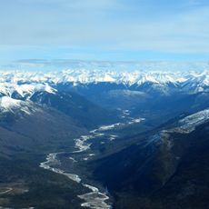
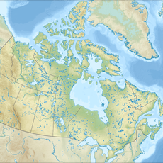
South Nahanni River, Protected river in Northwest Territories, Canada.

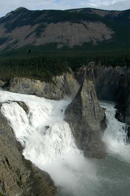
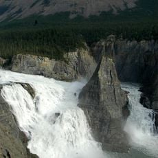
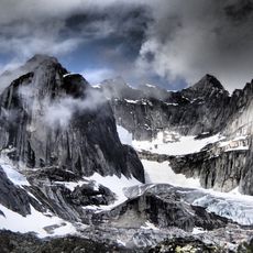
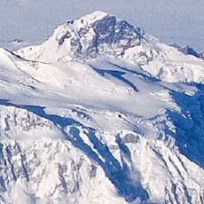
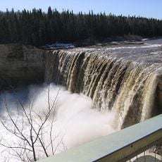
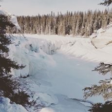
This river flows more than 500 kilometers through the Mackenzie Mountains and carves four distinct canyons with sheer rock walls rising on both sides. The water plunges over Virginia Falls, one of the most dramatic waterfalls in the northwest wilderness.

Early exploration by Hudson's Bay Company traders in the 1800s mapped the lower sections and confirmed the remote character of the river. These journeys revealed that the territory was too harsh and isolated to support European settlement in the region.

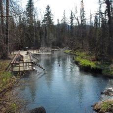
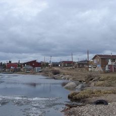
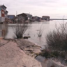
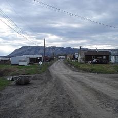
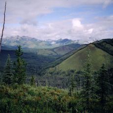
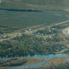
The Dene peoples have harvested fish and game from these waters and forests for countless generations, and the river remains central to their way of life. Local communities still follow seasonal patterns tied to the river's rhythms and the animals that depend on it.

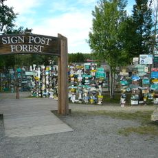
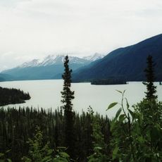
The river is best explored through guided expeditions by canoe or raft, with most trips lasting between one and three weeks. The paddling season runs from May through September when water levels are suitable and weather conditions are more stable.

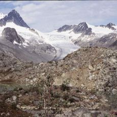
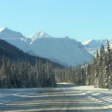
The river cut its canyons while the surrounding mountains rose, forcing the water to wind through the climbing peaks rather than find a new path. This unusual pattern makes the landscape look like the mountains grew around a river that refused to change course.

The community of curious travelers

AroundUs brings together thousands of curated places, local tips, and hidden gems, enriched daily by 60,000 contributors worldwide.

Start exploring
GPS coordinates
61.05122,-123.33721
Latest update
December 10, 2025 15:56
Reviews
Share your experience

No review yet

Discussions
Start a discussion...

No discussion yet

« South Nahanni River - Protected river in Northwest Territories, Canada » is provided by Around Us (aroundus.com). Images and texts are derived from Wikimedia project under a Creative Commons license. You are allowed to copy, distribute, and modify copies of this page, under the conditions set by the license, as long as this note is clearly visible.

Discover hidden gems everywhere you go!

From secret cafés to breathtaking viewpoints, skip the crowded tourist spots and find places that match your style. Our app makes it easy with voice search, smart filtering, route optimization, and insider tips from travelers worldwide. Download now for the complete mobile experience.

Around Us App Screenshot

A unique approach to discovering new places

Le Figaro

All the places worth exploring

France Info

A tailor-made excursion in just a few clicks

20 Minutes

Around Us
Travel Guide & Maps
Download

Send to your phone

QR Code
1

Open the camera app on your mobile.

2

Point at the QR code with your camera. A notification will appear.

3

Tap the notification to open the link.