Dehcho Region, Administrative region in Northwest Territories, Canada.
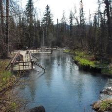
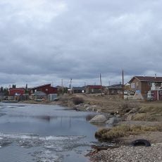
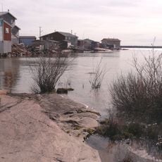
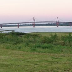
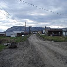
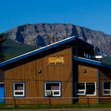
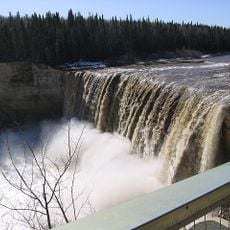
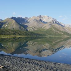
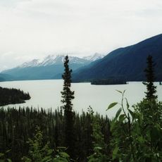
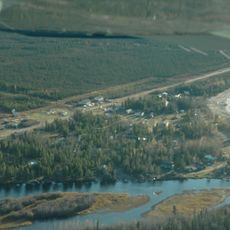
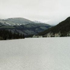
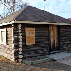
Dehcho Region is an administrative area in Northwest Territories that contains six communities spread across forested and river landscapes. Fort Simpson functions as the main administrative center for the area.
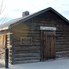
The area has been home to Dene peoples for centuries, with communities establishing themselves along the Mackenzie River as a central part of their life. The region took its current administrative form as part of territorial governance development in Canada.
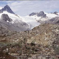
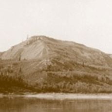
The region is home to Dene and other First Nations communities who maintain their languages and traditional practices rooted in the land and rivers.
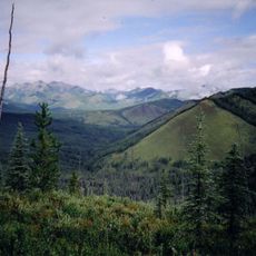
Getting to the communities is possible via road routes or scheduled flights connecting to regional airports, depending on where you start in the territory. You should plan ahead due to the remote location and weather conditions throughout the year.
The six communities each retain their original Indigenous names and identities, reflecting the long-standing presence of First Nations in the region.
Location: Northwest Territories
Shares border with: Northern Rockies Regional Municipality, Mackenzie County, South Slave Region, North Slave Region, Sahtu Region
GPS coordinates: 61.86310,-121.35500
Latest update: December 10, 2025 15:50
Nahanni National Park Reserve
238.9 km
Liard River Hot Springs Provincial Park
375.8 km
Délı̨nę
383.9 km
Behchokǫ̀
293.5 km
Deh Cho Bridge
213.7 km
Tulita
398.1 km
Virginia Falls
232.7 km
Sign Post Forest
444.9 km
Mount Nirvana
331.9 km
Nahanni Butte
141.9 km
Northwest Territories Legislative Building
368.3 km
King Peak
449.3 km
Alexandra Falls
311.6 km
Enterprise
314.8 km
Nááts'įhch'oh National Park Reserve
362.1 km
Canadian Forces Northern Area Headquarters Yellowknife
368.6 km
Keele Peak
490.3 km
Northern Rocky Mountains Provincial Park
441.5 km
Muncho Lake Provincial Park
393.9 km
Horn River Formation
190.2 km
Prince of Wales Northern Heritage Centre
368.4 km
Sambaa K'e
158.3 km
Stone Mountain Provincial Park
410.4 km
Saoyú-ʔehdacho
377.3 km
Fireweed Studio
368.5 km
Fred Henne Territorial Park
366.5 km
Log School House
368.5 km
Redknife Formation
102 kmVisited this place? Tap the stars to rate it and share your experience / photos with the community! Try now! You can cancel it anytime.
Discover hidden gems everywhere you go!
From secret cafés to breathtaking viewpoints, skip the crowded tourist spots and find places that match your style. Our app makes it easy with voice search, smart filtering, route optimization, and insider tips from travelers worldwide. Download now for the complete mobile experience.
A unique approach to discovering new places❞
— Le Figaro
All the places worth exploring❞
— France Info
A tailor-made excursion in just a few clicks❞
— 20 Minutes