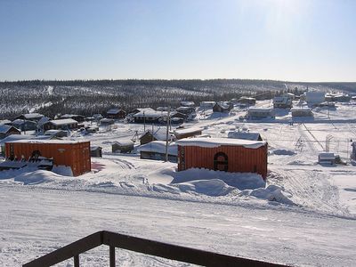
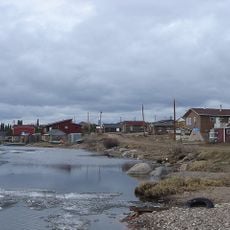
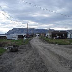
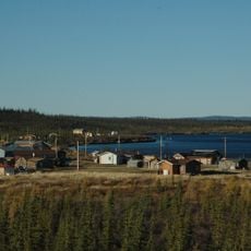
Fort Good Hope, Charter settlement on the Mackenzie River, Northwest Territories, Canada.
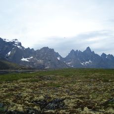
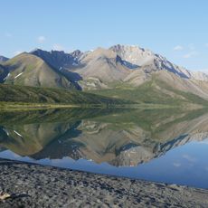
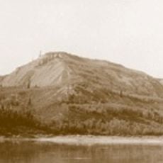
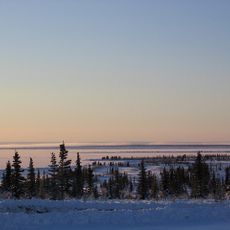
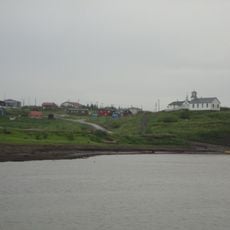
Fort Good Hope sits on a peninsula shaped by Jackfish Creek on one side and the Mackenzie River on the other, with limestone cliffs rising dramatically from the water. The landscape creates a natural vantage point that early traders found valuable for observation and defense.
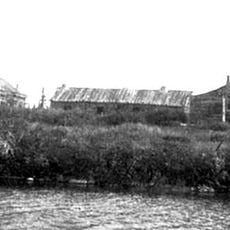
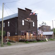
The North West Company established a trading post here in 1805, moving it several times before settling permanently at the current location to avoid flood damage. This final relocation brought stability to the settlement and shaped its long-term development.
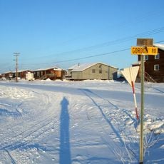
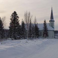
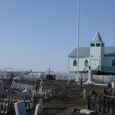
The settlement has a strong connection to its Dene heritage, which shapes daily life and gatherings in the community. Local traditions remain woven into how people celebrate and mark important times throughout the year.
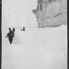
Visitors can reach the community by air through the local airport or via seasonal river and winter routes that connect to other settlements. Planning your trip around the season is essential since access changes throughout the year.
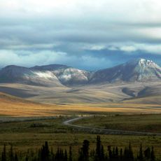
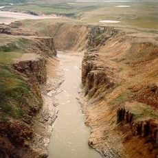
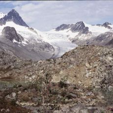
Downriver from the settlement, the Mackenzie River narrows from two kilometers to just 11 meters wide, an unusual formation in Canada's longest waterway. This dramatic constriction creates a striking geographical feature that shapes the local landscape.
The community of curious travelers
AroundUs brings together thousands of curated places, local tips, and hidden gems, enriched daily by 60,000 contributors worldwide.