
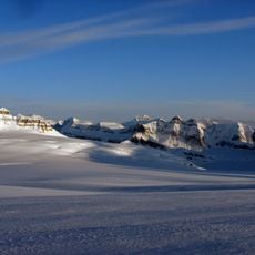
Cummins Lakes Provincial Park, provincial park in British Columbia, Canada at the head of the Cummins River, northeast of Kinbasket Lake
Location: Columbia-Shuswap Regional District
Inception: July 13, 1995
GPS coordinates: 52.10000,-118.05000
Latest update: May 13, 2025 16:33
Columbia Icefield
50.7 km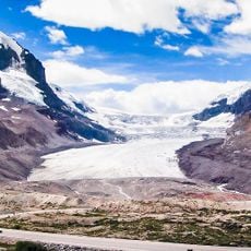
Athabasca Glacier
55.2 km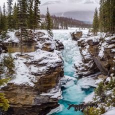
Athabasca Falls
63.8 km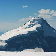
Mount Columbia
41.9 km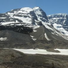
Snow Dome
51 km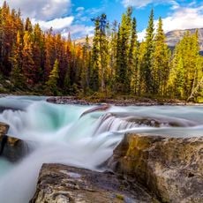
Sunwapta Falls
55.4 km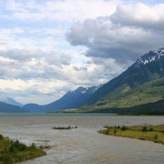
Kinbasket Lake
27.6 km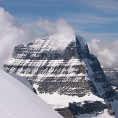
Mount Alberta
44.3 km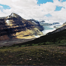
Saskatchewan Glacier
58.7 km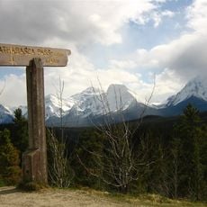
Athabasca Pass
32.1 km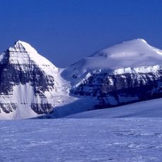
North Twin
44.2 km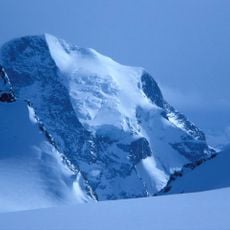
Mount Sir Sandford
50.9 km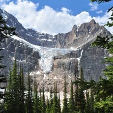
Angel Glacier
64.1 km
Bill Putnam hut
39.3 km
Hamber Provincial Park
32.4 km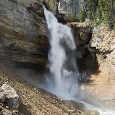
Panther Falls
68.5 km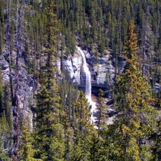
Bridal Veil Falls
69.2 km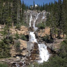
Tangle Falls
55.4 km
Stutfield Peak
46.6 km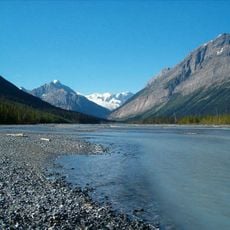
Chaba River
44.2 km
South Twin
43.6 km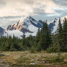
Angle Peak
57.8 km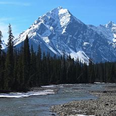
Geraldine Peak
56.8 km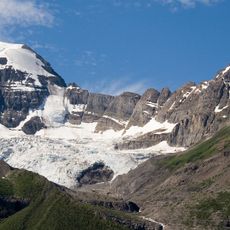
Mount Unwin
67 km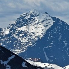
Throne Mountain
63 km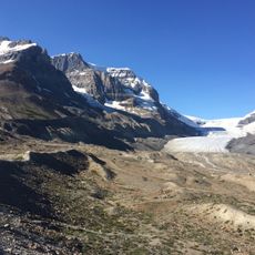
Columbia Glacier
46.1 km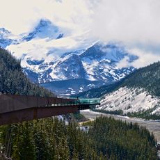
Columbia Icefield Skywalk
55.6 km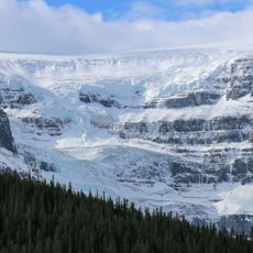
Stutfield Glacier
49.4 kmReviews
Visited this place? Tap the stars to rate it and share your experience / photos with the community! Try now! You can cancel it anytime.
Discover hidden gems everywhere you go!
From secret cafés to breathtaking viewpoints, skip the crowded tourist spots and find places that match your style. Our app makes it easy with voice search, smart filtering, route optimization, and insider tips from travelers worldwide. Download now for the complete mobile experience.

A unique approach to discovering new places❞
— Le Figaro
All the places worth exploring❞
— France Info
A tailor-made excursion in just a few clicks❞
— 20 Minutes