Geography of Bahrain, Island archipelago in the Persian Gulf, Bahrain.
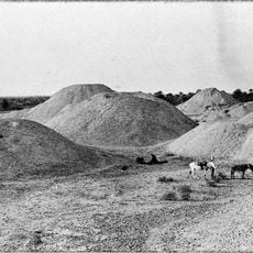
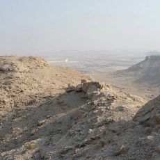
The geography of Bahrain comprises 33 islands with low coastlines, sandy desert areas, and shallow bays covering roughly 700 square kilometers. The archipelago features varied landscapes, ranging from agricultural land in the north to salt flats and desert terrain in the south.
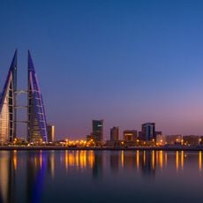
Bahrain's location in the Persian Gulf made the islands a central point for maritime trade since ancient times, shaping their economic development. This strategic position has influenced the islands' growth and significance for thousands of years.
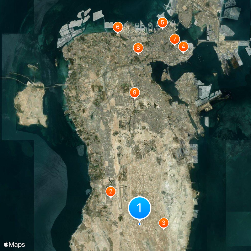
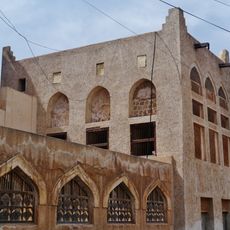
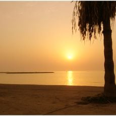
Date palm cultivation in the northern region shapes how people have organized their land for centuries, and you can still see these groves defining the landscape today. The traditional farming practices reflect how communities have adapted to living in an arid environment.
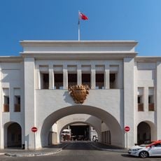
The King Fahd Causeway connects the main island to Saudi Arabia and serves as the primary transportation link for people and goods entering the territory. Access to the islands is possible via this causeway or by air, making arrival relatively straightforward.
Freshwater springs rise from the seabed around the islands, bringing underground currents from the mainland beneath the surface. These underwater sources create distinct habitats that attract marine life and shape the ecological systems in the region.
The community of curious travelers
AroundUs brings together thousands of curated places, local tips, and hidden gems, enriched daily by 60,000 contributors worldwide.