
Choirokoitia, community in Larnaca District, Republic of Cyprus
Location: Larnaca District
Elevation above the sea: 210 m
Website: http://khirokitia.org/
Part of: Larnaca District
Shares border with: Kato Drys, Pano Lefkara, Skarinou, Agios Theodoros, Psematismenos, Tochni, Vavla
Website: http://khirokitia.org
GPS coordinates: 34.79747,33.33519
Latest update: April 13, 2025 05:21
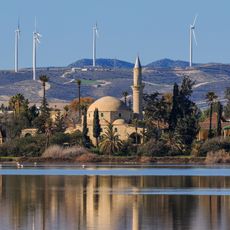
Hala Sultan Tekke
26.9 km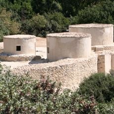
Khirokitia
784 m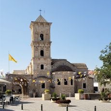
Church of Saint Lazarus, Larnaca
30.2 km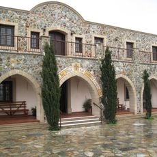
Stavrovouni Monastery
13.4 km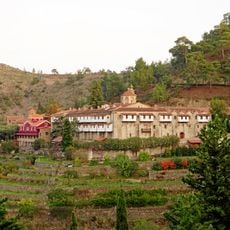
Machairas Monastery
20.7 km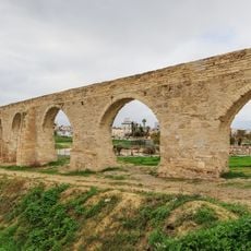
Bekir Pasha Aqueduct
27.2 km
Mazotos Camel Park
15.8 km
The Oval
27.2 km
Panagia tis Angeloktistis
22.3 km
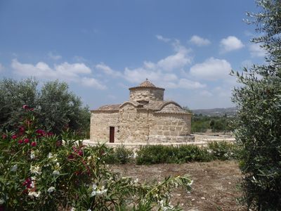
Painted Churches in the Troödos Region
25.8 km
Larnaca Synagogue
30 km
Governor's Beach
10.7 km
Mackenzie Beach
29.5 km
Limassol Zoo
28.6 km
St. Catherine's Church, Limassol
29.1 km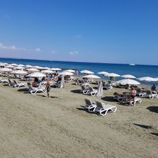
Kastella
29.9 km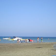
Faros Beach
24.6 km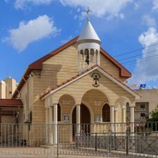
Sourp Kevork
26.9 km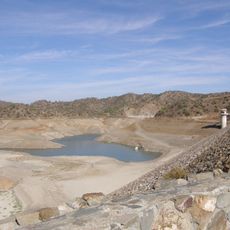
Dipotamos Reservoir
6.7 km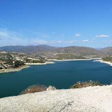
Germasogeia Reservoir
23.3 km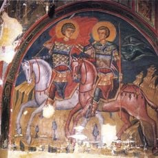
Church of Ayia Sotira (of the Transfiguration of the Savior) tou Soteros
25.8 km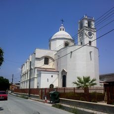
Terra Santa Our Lady of Grace Catholic Church
30 km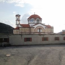
Panagidia Galaktotrofousa monastery
7.8 km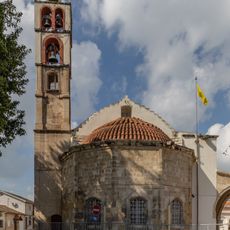
Cathedral of the Holy Transfiguration of the Savior
29.8 km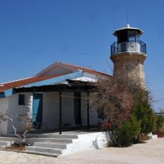
Cape Kiti Lighthouse
24.6 km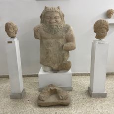
Archaeological Museum of the Limassol District
28.6 km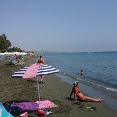
Armonia Beach
22.1 km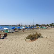
Panagies Beach
18 kmReviews
Visited this place? Tap the stars to rate it and share your experience / photos with the community! Try now! You can cancel it anytime.
Discover hidden gems everywhere you go!
From secret cafés to breathtaking viewpoints, skip the crowded tourist spots and find places that match your style. Our app makes it easy with voice search, smart filtering, route optimization, and insider tips from travelers worldwide. Download now for the complete mobile experience.

A unique approach to discovering new places❞
— Le Figaro
All the places worth exploring❞
— France Info
A tailor-made excursion in just a few clicks❞
— 20 Minutes