Normandy, Historical region in northern France
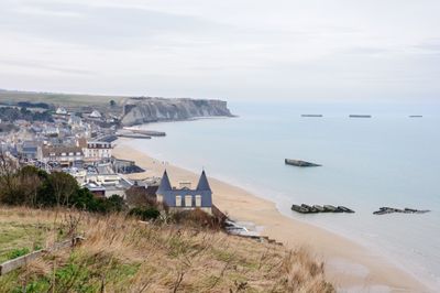
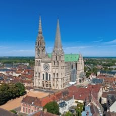
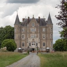
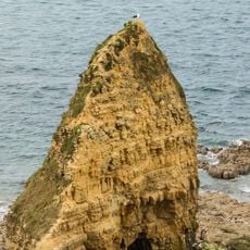
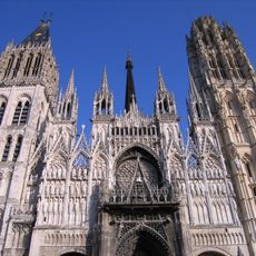
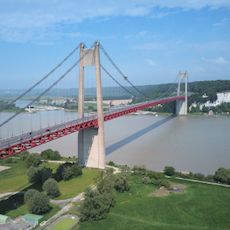
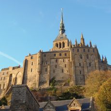
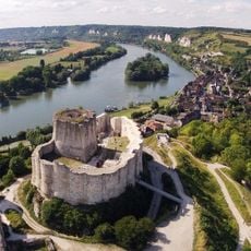
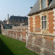
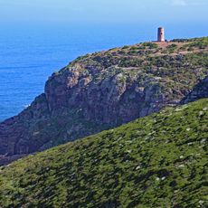
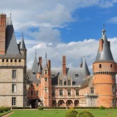
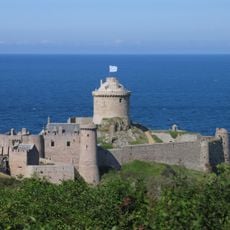
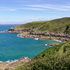
Normandy is a historical region in northern France that stretches from the English Channel in the north to the plains and hills of the interior, now divided into five administrative units. The landscape shifts between coastal strips with white cliffs, wide beaches, green meadows dotted with apple orchards, and medieval towns scattered along rivers and hills.
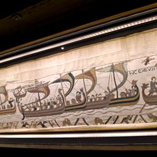
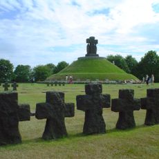
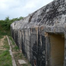
In the 9th century, Vikings from the north arrived and settled along the coast, where they established a duchy in 911 that took its name from these northern settlers. In the 11th century, a duke from here conquered England, creating a link between both sides of the Channel that lasted for centuries.
Residents of the villages and small towns traditionally drink cider with their meals and maintain family-run distilleries that produce Calvados, a spirit passed down through generations. On market days, vendors gather to sell cheese made from local milk, fresh fish, and butter pastries while people meet near churches and in the squares.
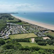
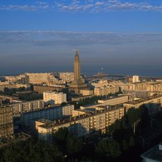
Visitors looking to explore the region will find numerous routes that pass through small towns, coastal roads, and countryside dotted with farms, while regional trains and buses connect the larger cities. Summer brings many visitors to the beaches and historical sites, while autumn and spring offer quieter conditions for walking through villages and markets.
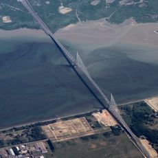
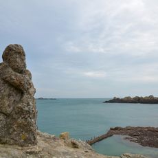
Along the coast, tides can rise and fall by up to 15 meters (49 feet), revealing wide stretches of sand and rock at low tide that disappear underwater just hours later. These strong tidal movements have shaped the bays and harbors over centuries and continue to influence fishing and oyster farming today.
The community of curious travelers
AroundUs brings together thousands of curated places, local tips, and hidden gems, enriched daily by 60,000 contributors worldwide.