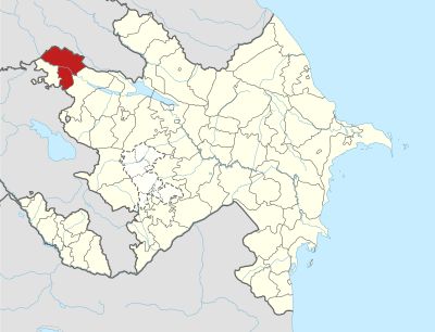
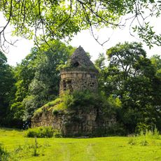
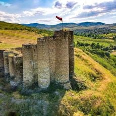
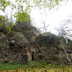
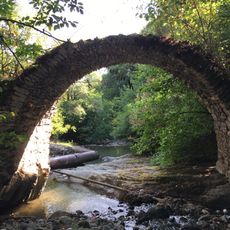
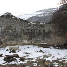
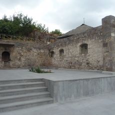
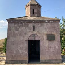
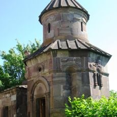
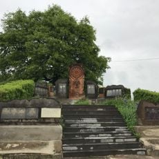
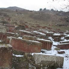
Aghstafa District, Administrative district in northwestern Azerbaijan
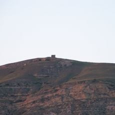
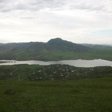
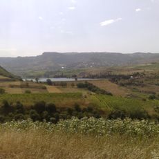
Aghstafa District is an administrative area in northwestern Azerbaijan covering 1,504 square kilometers at an elevation of 239 meters. It sits between Georgia to the north and Armenia to the south.
The area was established as a separate district in 1939, then merged with Gazakh district in 1959, and restored to independent district status in 1990 following Azerbaijan's independence.
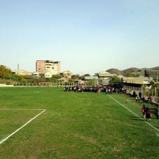
Education and learning play a central role in daily life here, with schools and libraries serving as gathering places where people connect and share knowledge.
The Kars-Tbilisi-Baku railway runs through the district, connecting it with Turkey and Georgia for both passenger and cargo transport. Check the rail schedule before planning your visit to access the area easily.
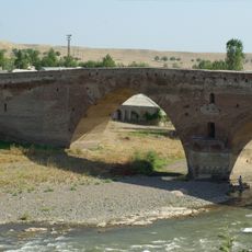
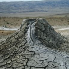
The Kura River flows through the territory, creating fertile land that has sustained farming for generations. Underground deposits of bentonite and raw cement have shaped the economic life of the district in less obvious ways.
The community of curious travelers
AroundUs brings together thousands of curated places, local tips, and hidden gems, enriched daily by 60,000 contributors worldwide.