Zagatala, city in Azerbaijan
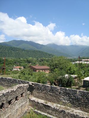
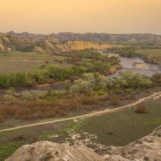
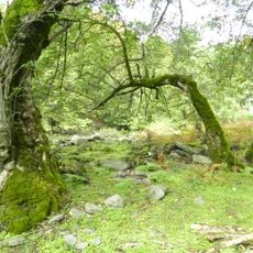
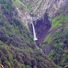
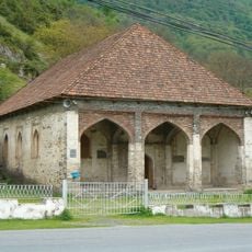
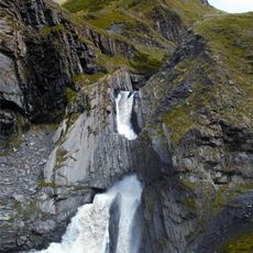
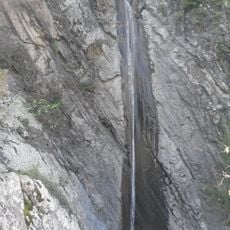
Zagatala is a city in northwestern Azerbaijan, set on the southern slopes of the Greater Caucasus and surrounded by thick forests. A river runs through the center, dividing the city into two parts, while old plane trees shade the main avenues and small shops line the quieter side streets.
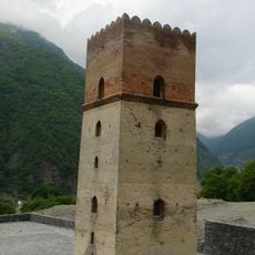
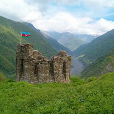
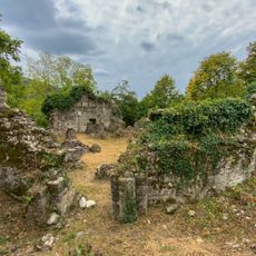
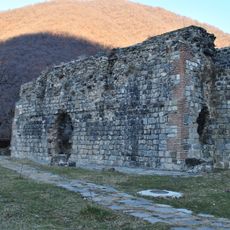
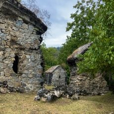
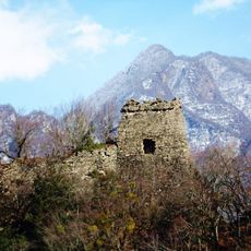
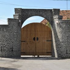
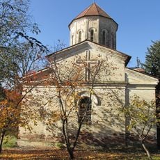
The city takes its name from a local ruler called Zakeria who founded a settlement here in the 17th century. The Russian Empire built a fortress here in the mid-19th century to secure control over the region, and the town grew around it.
The local market is the heart of daily life, where vendors sell fresh walnuts, hazelnuts, dried herbs, and honey gathered from the surrounding hills. People from nearby villages come here regularly, making it a natural meeting point for the whole area.
Taxis and small shared buses are the most common ways to move around the city and reach the surrounding villages. Most shops and restaurants only accept cash, so it is worth carrying enough before heading out, and tap water should be avoided.
The area around the city is home to a trout farm where visitors can eat freshly caught fish on the spot. The region is also one of the country's main hazelnut producers, and during the autumn harvest the activity takes over daily life across the whole area.
The community of curious travelers
AroundUs brings together thousands of curated places, local tips, and hidden gems, enriched daily by 60,000 contributors worldwide.