Enable Location

We need your location to show you interesting places around you

Discover nearby places

Find interesting locations and hidden gems around you

Precise directions

Get accurate directions and distances to places

Your location is never shared with other users. It's only used when you tap the location button.

Log in to your account

Start exploring — it's free

Trusted by 62,564 travelers worldwide

Continue with Google
Continue with Apple
or

We will send you a code to connect

By continuing, you accept our Terms and Conditions and our Privacy Policy

Check your inbox

We've sent a pincode in your inbox. Please enter the code below.

Manikganj District

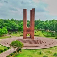
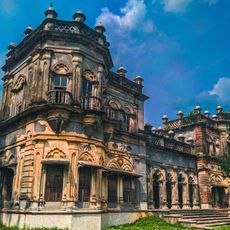
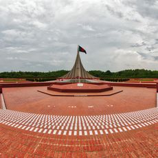
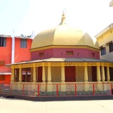
Manikganj District, Administrative district in Dhaka Division, Bangladesh

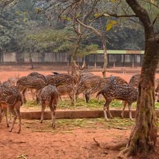
The district extends across a predominantly rural landscape with agricultural fields that characterize its entire territory. The flat terrain and vegetation create an open, field-dominated landscape where villages sit scattered among crops.

The district was established as an administrative unit in 1984, marking an important step in Bangladesh's territorial reorganization. This change helped improve resource management and service delivery across the region.

The region is shaped by traditional farming methods passed down through generations that define everyday life for residents. Visitors can observe how rice and jute crops are grown and understand the role these plants play in community life.

The area is mainly rural and best explored by local transport or guided trips, as infrastructure can be limited in parts. Travel is easiest during the dry season between November and February.

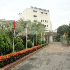
The region sits close to the capital city, creating regular connections and shared economic ties with urban centers. This geographical closeness has shaped the district's character, blending rural traditions with modern commerce.

The community of curious travelers

AroundUs brings together thousands of curated places, local tips, and hidden gems, enriched daily by 60,000 contributors worldwide.

Start exploring
Location
Inception
1984
Capital city
Manikganj
Elevation above the sea
11 m
Shares border with
Tangail District, Dhaka District, Faridpur District, Rajbari District, Pabna District, Sirajganj District
GPS coordinates
23.86000,90.00000
Latest update
December 20, 2025 12:07
« Manikganj District - Administrative district in Dhaka Division, Bangladesh » is provided by Around Us (aroundus.com). Images and texts are derived from Wikimedia project under a Creative Commons license. You are allowed to copy, distribute, and modify copies of this page, under the conditions set by the license, as long as this note is clearly visible.

Discover hidden gems everywhere you go!

From secret cafés to breathtaking viewpoints, skip the crowded tourist spots and find places that match your style. Our app makes it easy with voice search, smart filtering, route optimization, and insider tips from travelers worldwide. Download now for the complete mobile experience.

Around Us App Screenshot

A unique approach to discovering new places

Le Figaro

All the places worth exploring

France Info

A tailor-made excursion in just a few clicks

20 Minutes

Around Us
Travel Guide & Maps
Download

Send to your phone

QR Code
1

Open the camera app on your mobile.

2

Point at the QR code with your camera. A notification will appear.

3

Tap the notification to open the link.