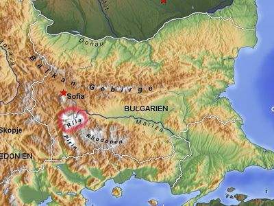
Rila, Mountain range with metamorphic rock formations in southwestern Bulgaria
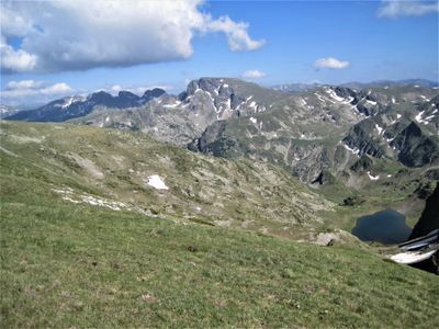
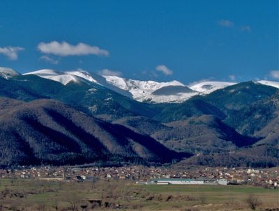
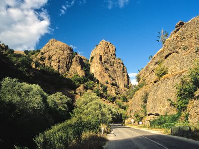
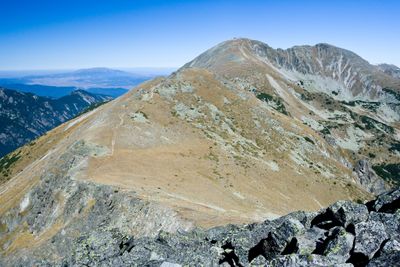
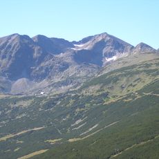
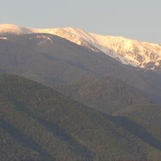
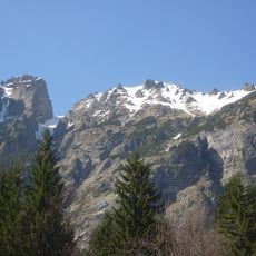
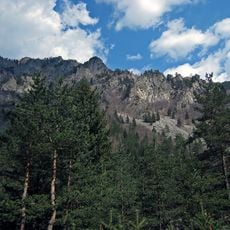
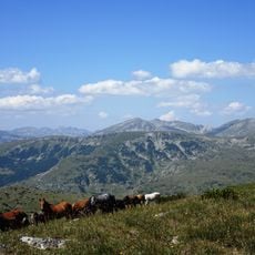
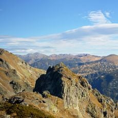
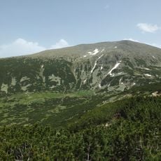
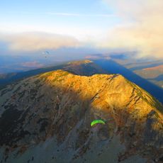
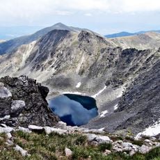
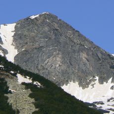
This range covers much of southwestern Bulgaria and rises to 2,925 meters (9,596 feet) at Musala summit. Steep rock walls of metamorphic stone alternate with gentler meadows and dense conifer forests, while deep valleys and high plateaus shape the skyline.
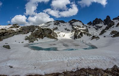
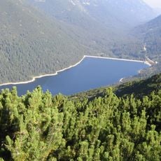
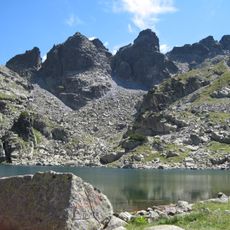
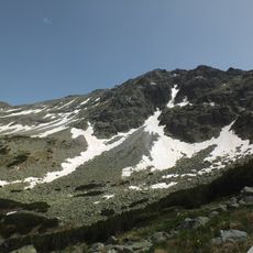
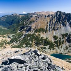
The current landscape formed during the last ice age around 10,000 years ago, when glaciers carved the valleys. After the ice retreated, nearly 200 glacial lakes remained, still marking the high elevations today.
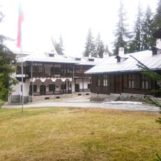
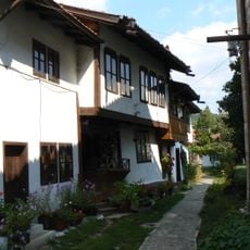
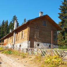
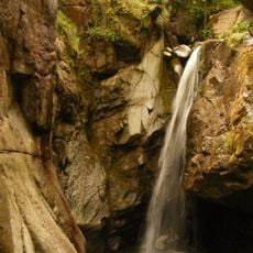
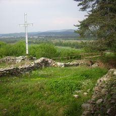
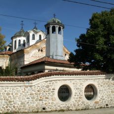
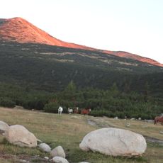
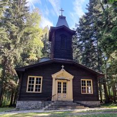
The name comes from the Thracian word for water, reflecting the many springs and streams flowing down the slopes. Hikers encounter small chapels and stone huts along the routes, used by shepherds for generations.
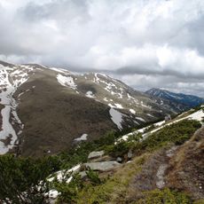
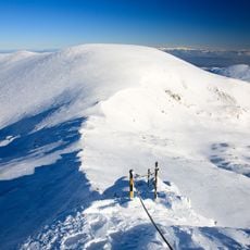
Marked trails cross different elevations and lead to summits, lakes, and forests. The thermal baths at Sapareva Banya offer relaxation after a hike, while Borovets ski area opens in winter.
Three major rivers originate from the slopes and divide the watershed between the Black Sea and the Aegean. The divide runs along the main ridges and determines the flow direction of countless streams and springs.
The community of curious travelers
AroundUs brings together thousands of curated places, local tips, and hidden gems, enriched daily by 60,000 contributors worldwide.